Milwaukee River Greenway in milwaukee
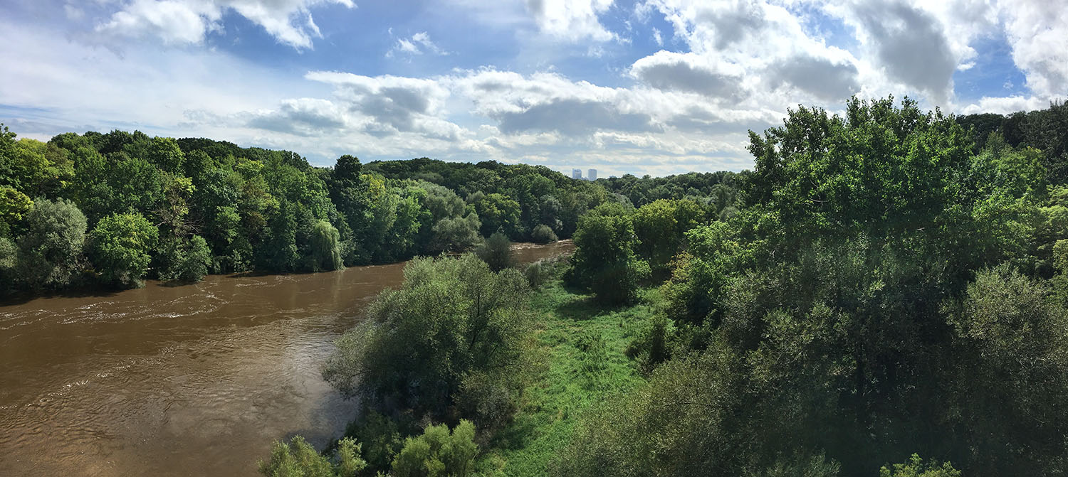
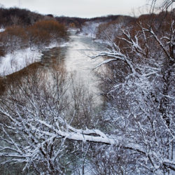
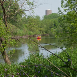
View south from the Locust St bridge towards downtown Milwaukee
Running from Silver Spring Drive to the former North Avenue Dam, the Greenway links and protects over 840 acres of park lands along eight miles of the Milwaukee River. Includes the following named parks: Lincoln, Estabrook, Kern, Pleasant Valley, Hubbard, Cambridge Woods, Riverside, Gordon, Turtle, Rotary Centennial Arboretum, and Caesar’s Park. Altogether the named parks provide numerous amenities and opportunities for active recreation.
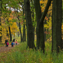
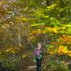
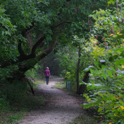
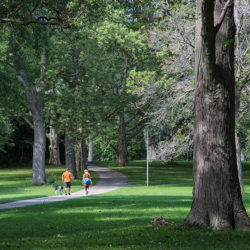
The paved Oak Leaf Trail runs through Lincoln, Estabrook and Riverside Parks, connecting with the Milwaukee River Parkway and Kletzsch Park on the north and the Lakefront on the south. The paved Beer Line Trail, an extension of the Oak Leaf Trail, runs from Turtle Park to Gordon Park. Extensive riverside trail systems along both sides of the river can range from tame to quite wild. The gravel East Bank Trail from Caesar’s Pool to Cambridge Woods is wheelchair accessible. Biking is allowed only on the paved trails.
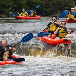
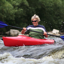
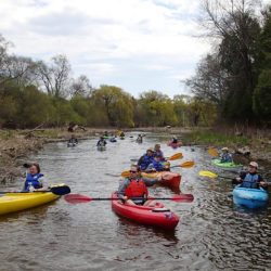
Very popular for hiking, jogging, fishing and for canoeing/kayaking. The entire length of river in the Greenway is on the Milwaukee Urban Water Trail. The Water Trail map provides information about access points and portages.
Cambridge Woods and Riverside Parks are stops on the Forked Aster Trail System. The entire Milwaukee River corridor is a migratory flyway and identified as an ebird hotspot.
The flagship branch of the Urban Ecology Center is located in Riverside Park and the River Revitalization Foundation (RRF) is located in Turtle Park at the southern tip of the Greenway. For more information about the Greenway go to the RRF website.
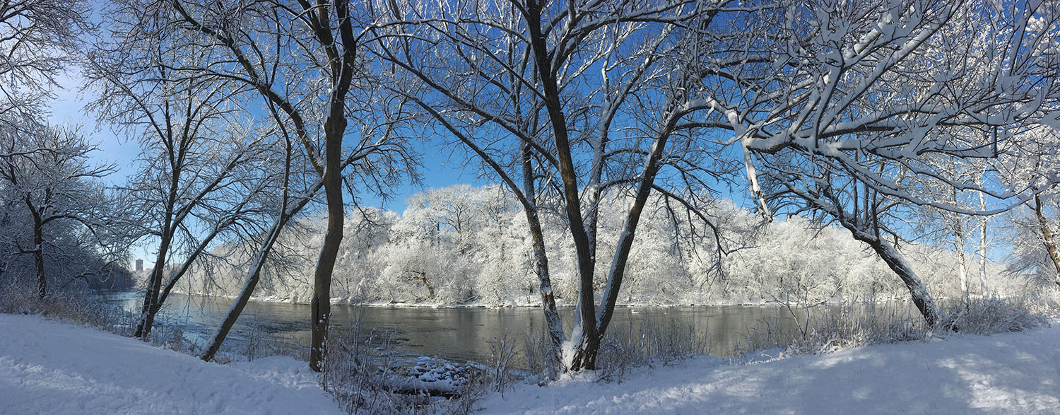
Panoramic view of Kern Park across the river from Hubbard Park in winter
Links:
Riverside Park map.
Estabrook Park map.
Gordon Park map.
Lincoln Park map.
Caesar’s Park map.
Photo album on Flickr.
Story links: “Kayaking Lincoln Park.”
“An Historic Return to the Milwaukee River and Indigenous Roots.”
“New trail connects Lincoln and Estabrook Parks.”
“Fun and adventure on the Milwaukee River at Estabrook Falls.”
“Hiking the Milwaukee River Greenway: Our premier urban wilderness.”
“The Milwaukee River Greenway: A Wealth of Nature in the Heart of the City.”
ARTservancy artists in residence in the Greenway featured in The Natural Realm:
Gallery (click to enlarge)
- View north from Locust Street
- Rafting over the Estabrook Falls
- Riverside Park
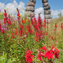
- Rotary Centennial Arboretum
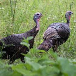
- Wild turkeys in Pleasant Valley Park
- Solitude
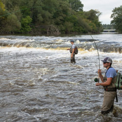
- Fishing at the falls
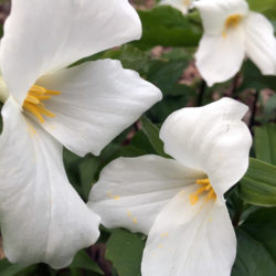
- White trillium
- Kayaking the Milwaukee River
- Cambridge Woods
- East Bank Trail
- Kayaking Lincoln Park
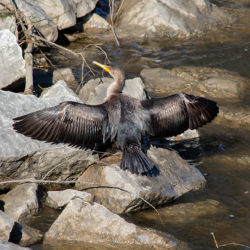
- Cormorant drying its wings
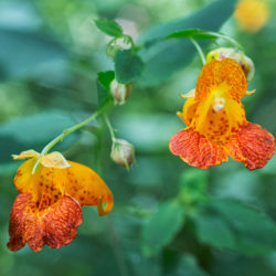
- Jewelweed blossoms
- Kern Park
Address
1500 E. Park Place53211, milwaukee, wi, US


