Milwaukee River Greenway: Experience Nature in the Midst of the City
December 1, 2024 | Topics: Places, Stories
by Kris Gould
When you want to get outside and experience the beauty and relaxation that can be found in nature, where do you typically go? Do you visit a state park? Or maybe you hike a section of the Ice Age Trail? If you really want to be surrounded by trees, water and wildlife, maybe you head Up North. Those are all wonderful locations, but you may be missing out on a spot that is right in our backyard. The Milwaukee River Greenway, sometimes called Milwaukee’s Central Park, protects 878 acres of green space in the midst of our city.
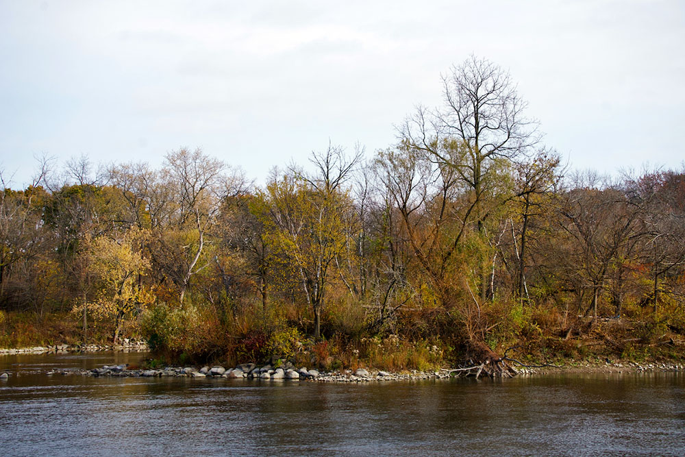
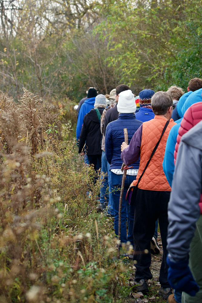
The Milwaukee River Greenway begins in Lincoln Park at Silver Spring Drive and follows the Milwaukee River south to Caesar’s Park near North Avenue. Along the way it connects 12 public parks. Hiking trails line both sides of the river starting on Hampton Avenue (on the east bank) and Port Washington Road (on the west), and that is where a group of 65 people met on Saturday, November 9, to hike the trail on the west side of the river known as the Westabrook-MATC Trail.
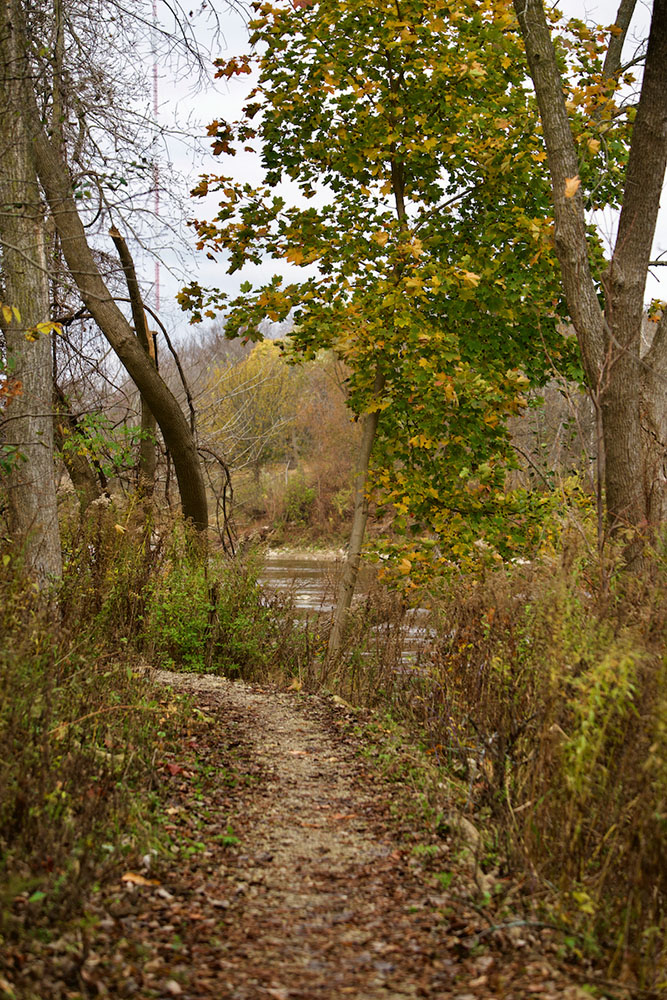
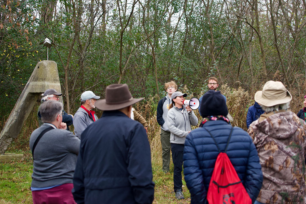
The outing was organized by the Sierra Club in collaboration with the River Revitalization Foundation (RRF), Milwaukee’s urban land trust. The day included not only a scenic hike along the river, but quite a lot of education as well. We were joined by several experts from the Waterway Restoration Partnership who spoke to the group about the history of the river and future plans to improve wildlife habitat and address contamination.
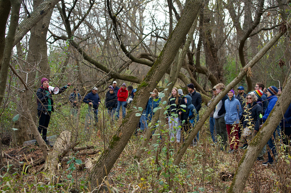
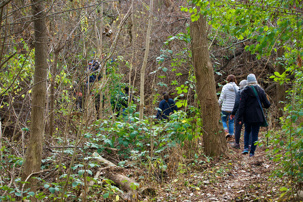
Our group consisted of hikers, birders, university students, kids and dogs, and as I waited for the large group to assemble, I zipped up my coat and tugged on a hat and gloves against the chilly wind. The sky was cloudy and gray, but at least it wasn’t raining. Soon after we started our hike, we encountered our first landmark: the former site of the Estabrook Dam, which was removed in 2018. Those who knew the trail well agreed that the area has been significantly improved by the removal of the dam and the restoration of the riverbank. Remnants of the dam have been used to create a small sculpture park featuring the work of Tom Queoff that we saw at our next stop.
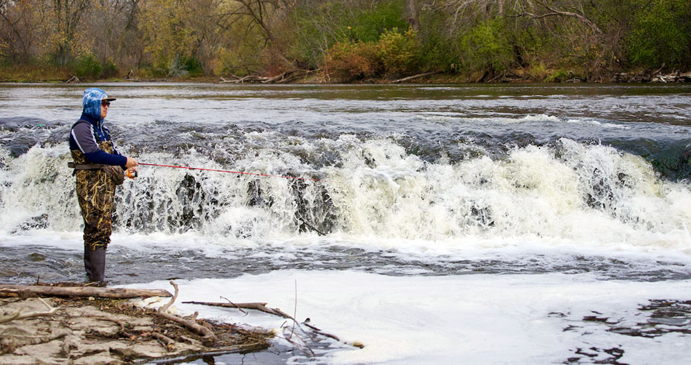
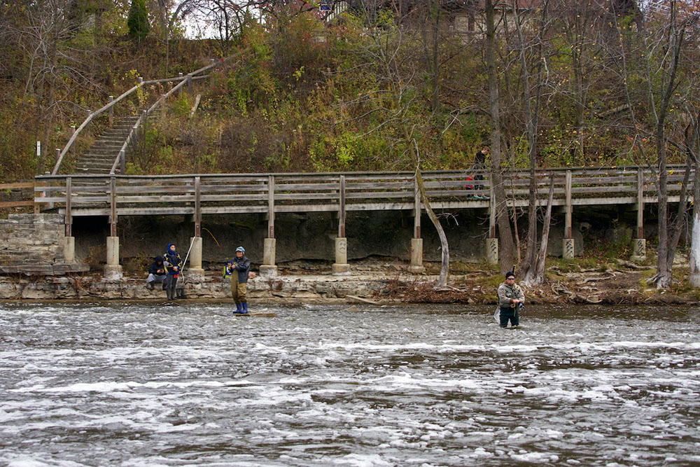
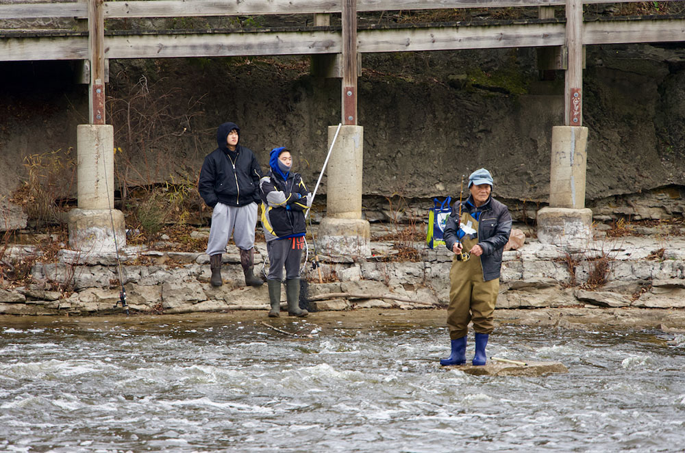
As we continued south, we paused at Estabrook Falls. The falls are a lovely site and a popular spot for fishing, but they are not a naturally occurring waterfall. The Milwaukee River bottom was once quarried for limestone and the falls are the location where the quarry ended. This has created a challenge for native fish that can no longer swim upstream past the falls to their spawning and nursery habitat. Beth Wentzel of the Milwaukee Metropolitan Sewerage District (MMSD) shared her organization’s plans for modifying the falls to create channels that native fish can swim through. This is just one part of a larger project to improve the Milwaukee River Estuary, which has been designated an Area of Concern (AOC) by the federal government, that we would learn about at another stop on our hike.
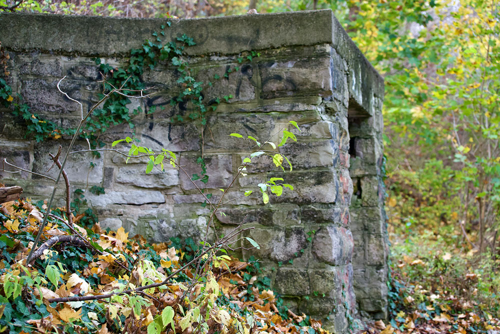
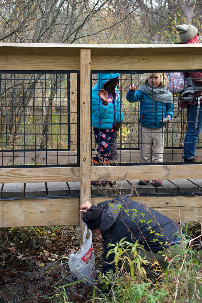
More evidence of quarrying in and near the river can be found at the “Blue Hole,” which is a water-filled quarry next to the river. At one time this was a popular, but dangerous, swimming hole. Now the Blue Hole provides an important habitat for animals, such as frogs and fish, and insects, such as dragonflies.
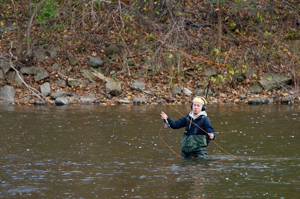
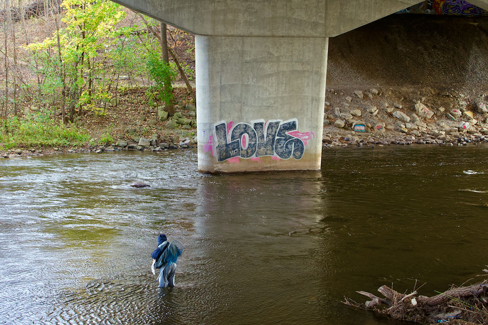
In the summer the river is a popular spot for kayaking and canoeing, but on our November hike, the main activity on the water was fishing. Fish that may be found in the river include Bluegill, Coho Salmon, Northern Pike, Small Mouth Bass, Walleye and more. I noticed signs near the popular fishing spots that warn anglers about the risks of consuming fish caught in polluted waters. The fish may be consumed, but only in limited quantities to avoid health risks associated with the mercury, PCBs and PFAs that can be found in the fish.
As we continued our hike, Catie Petralia from RRF talked about how easements from several landowners including MATC have allowed this section of the trail to be created and restored. Eddee Daniel, author of the book, “The Milwaukee River Greenway: A Wealth of Nature in the Heart of the City” and the creator of this blog, spoke about the many incarnations of the river. From industrial use, to the dams that turned the river into lakes, to the planning and effort required to preserve this area, the river has long played an important role in the life of Milwaukee.
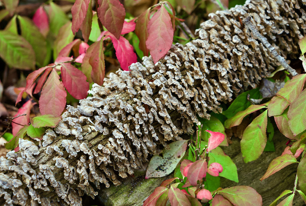
Our hike reached its southern-most point at Kern Park, where Natalie Dutack of Milwaukee County Parks and Brennan Dow from the DNR spoke about the plans to cleanup a series of Milwaukee River floodplains. Soil samples have shown the presence of PCBs, PFAs and heavy metals in the area from past industrial use of the river. Removing the contaminated sediment is important for the health of the people and animals that frequent the greenway. This cleanup is planned to begin in 2025 and afterwards the land will be restored to provide habitat for native plants and animals as well as access to the river for people. Much of the area that we hiked through will be closed to the public during the cleanup process, but it will return better than ever.
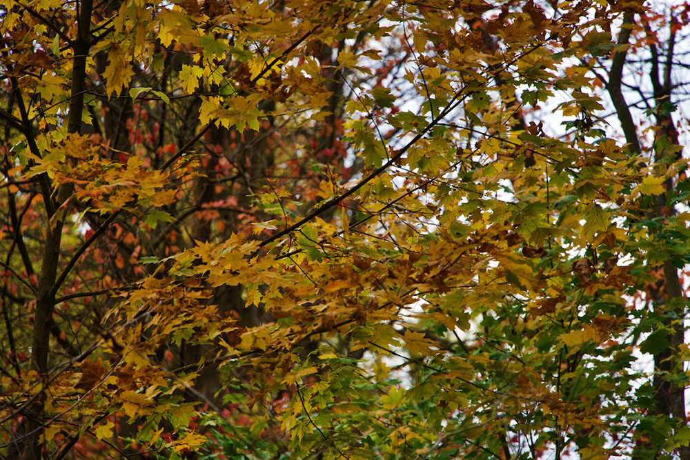
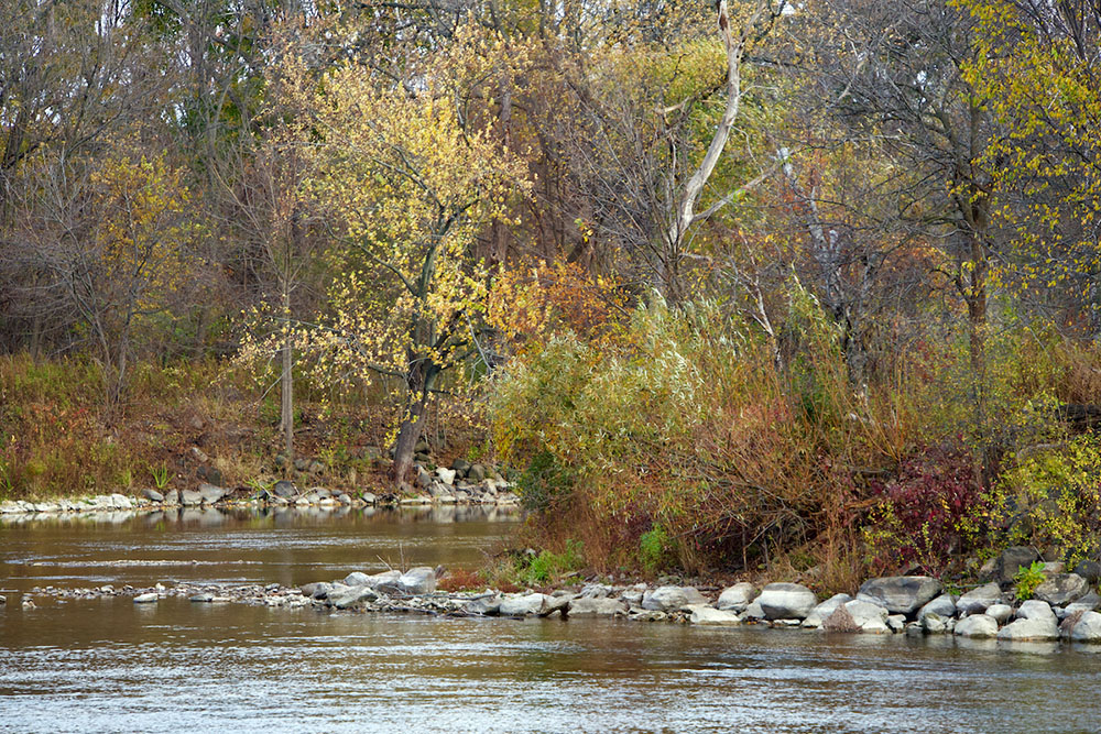
As we walked back to our starting point the sun broke through the clouds and illuminated what was left of the fall foliage. I thought how lucky we are to have all of this beautiful nature in the midst of our city. And while there’s work to be done, the Milwaukee River Greenway has a bright future.
Catie Petralia from RRF explains below what her organization is doing to maintain the Greenway and keep the public informed.
“As the river experiences big changes, so does its supporting local organizations. River Revitalization Foundation is merging with Ozaukee Washington Land Trust, another land conservation organization that’s been working with a similar mission in Southeast Wisconsin for the past thirty years. The two land trusts will be officially merged with a new name and identity in the new year.
“The Land Trust/RRF will continue its protection and stewardship of the Milwaukee River Greenway. We work alongside Milwaukee County Parks and other friend groups and landowners to tackle invasive (non-local) plant populations, plant native species to increase biodiversity and river climate resiliency, and maintain trails throughout the river valley. With the AOC projects bringing so much change to the river, we’re working with the Waterway Restoration Partnership team to prepare construction areas and support public outreach so people are not so surprised when they start ripping up the floodplains.
“We intend to activate the Greenway and make sure Milwaukee residents are aware and engaged with this special green space resource right in the heart of the city! Stay connected with the Land Trust as we host more educational hikes in the new year.”
Please visit these sites for more information:
MMSD: Estabrook Falls Fish Passage
Waterway Restoration Partnership: Milwaukee River Floodplain Cleanup and Habitat Restoration
A Wealth of Nature: The Milwaukee River Greenway
Related stories:
“An Historic Return to the Milwaukee River and Indigenous Roots.”
“New trail connects Lincoln and Estabrook Parks.”
“Fun and adventure on the Milwaukee River at Estabrook Falls.”
“Hiking the Milwaukee River Greenway: Our premier urban wilderness.”
“The Milwaukee River Greenway: A Wealth of Nature in the Heart of the City.”
Kris Gould is a writer and landscape and nature photographer based in Wisconsin. She has become a regular contributor to The Natural Realm. To see a list of her previous stories, click here.
River Revitalization Foundation and Milwaukee County Parks are project partners of A Wealth of Nature.
One thought on "Milwaukee River Greenway: Experience Nature in the Midst of the City"
Comments are closed.


Great article, thanks for highlighting the Milwaukee River Greenway and this awesome hike!