Hiking with Urban Wilderness Explorers
October 31, 2019 | Topics: Stories
By Eddee Daniel
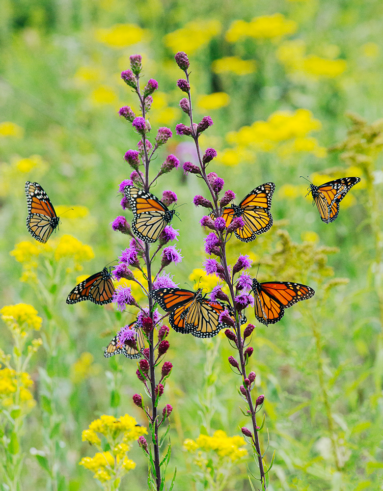
I was thrilled when 35 people signed up right away for my first scheduled hike. I’d billed it as a tour of the Monarch Trail on the Milwaukee County Grounds during the migration season and expectations were high that we’d see plenty of monarch butterflies. As the day approached more people added their names to the waiting list. Ah, but the best laid plans of mice and men….
When that Sunday afternoon arrived, it was still raining after raining all morning. You could say it was an inauspicious beginning. And yet….
I’d announced that I would hike in the rain and so I went to the designated spot and waited. And people came. Not 35, but in the end we had a cool baker’s dozen who broke out ponchos and umbrellas and hiked despite the rain. I decided it augured well after all and bespoke a pent-up desire to get outdoors and enjoy nature.
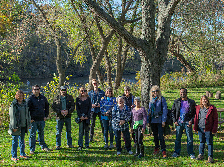
Welcome to the Urban Wilderness Explorers, a hiking group I created through Meetup.com. After I’d set up my group and saw the response—over 200 people signed on within two weeks—I wondered why it had taken so long. After all, I’d been Project Director of “A Wealth of Nature” for almost two years and the stated mission of the project all along has been to encourage people to enjoy, and support, our nearby parks and preserves. We’d been pursuing that goal largely through this website but suddenly it seemed like a no-brainer to actually lead groups to the places we were listing on our “Find a Park” map and writing about in this blog, The Natural Realm.
I am happy to report now that after a little over a month we Urban Wilderness Explorers have explored four places in and around Milwaukee. I have a few photos from each to share, along with brief stories about the places. To learn more about the group, or to sign up, go to Urban Wilderness Explorers.
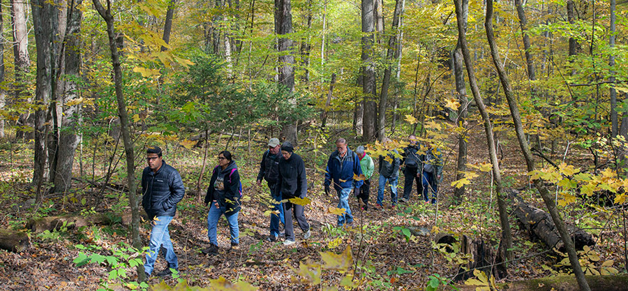
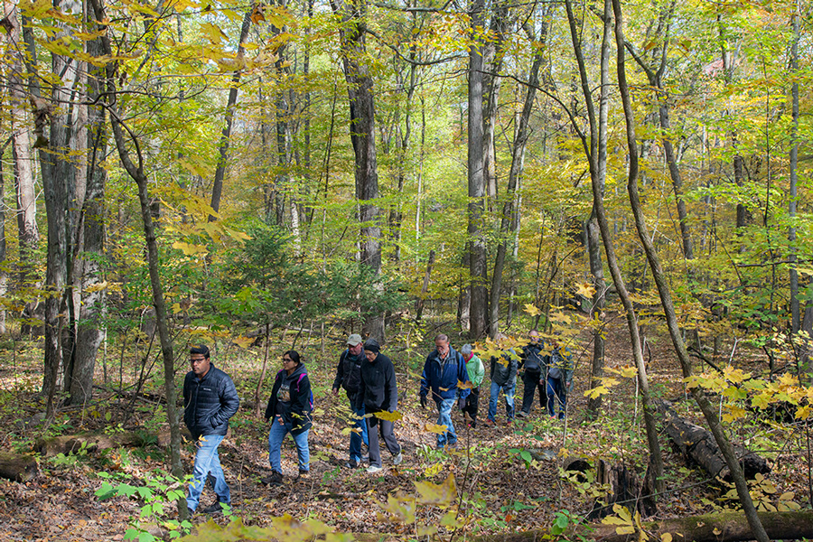
Sanctuary Woods and the Monarch Trail
We began in the center of the Milwaukee County Grounds, walking up and across the rolling hills and wide-open spaces of County Grounds Park in order to reach the Monarch Trail. The hills were built up and shaped from the earth that was excavated out of the two huge flood detention basins clearly visible stretching away to the north.
We searched for butterflies along the Monarch Trail but if there were any around the rain kept them hidden. The trail circles around the historic Alexander Eschweiler-designed Agricultural School campus, which has been turned into the Echelon Apartment complex. Only two of the historic buildings remain.
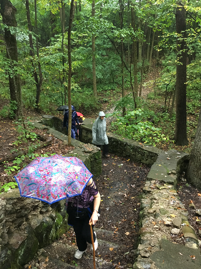
Our final stop was Sanctuary Woods, a 66-acre section of the County Grounds with diverse habitats; meadows, wetlands and woodlands. We discovered a number of mysterious ruins, remnants of the time when this was the home of the Milwaukee County Asylum for the Insane. Long zoned for future development, this County-owned land is currently under review by the Wauwatosa Common Council, which is considering a rezoning request to protect it as a Conservancy.
If you go: A visit to the Grounds can be as short as the Monarch Trail, which is under one mile, or an all-day affair. See Milwaukee County Grounds.
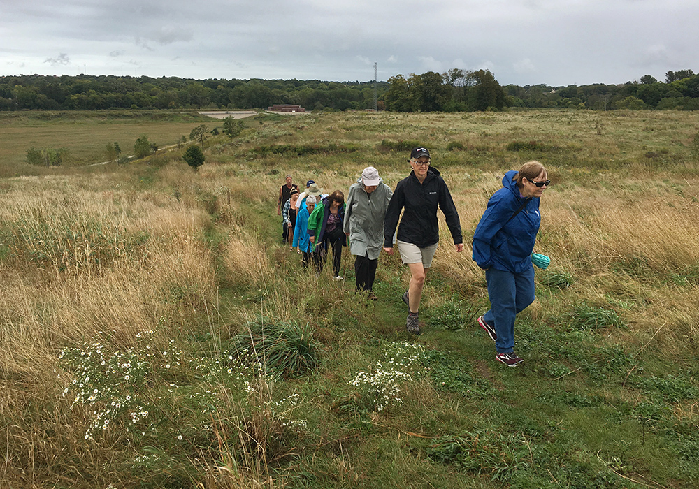
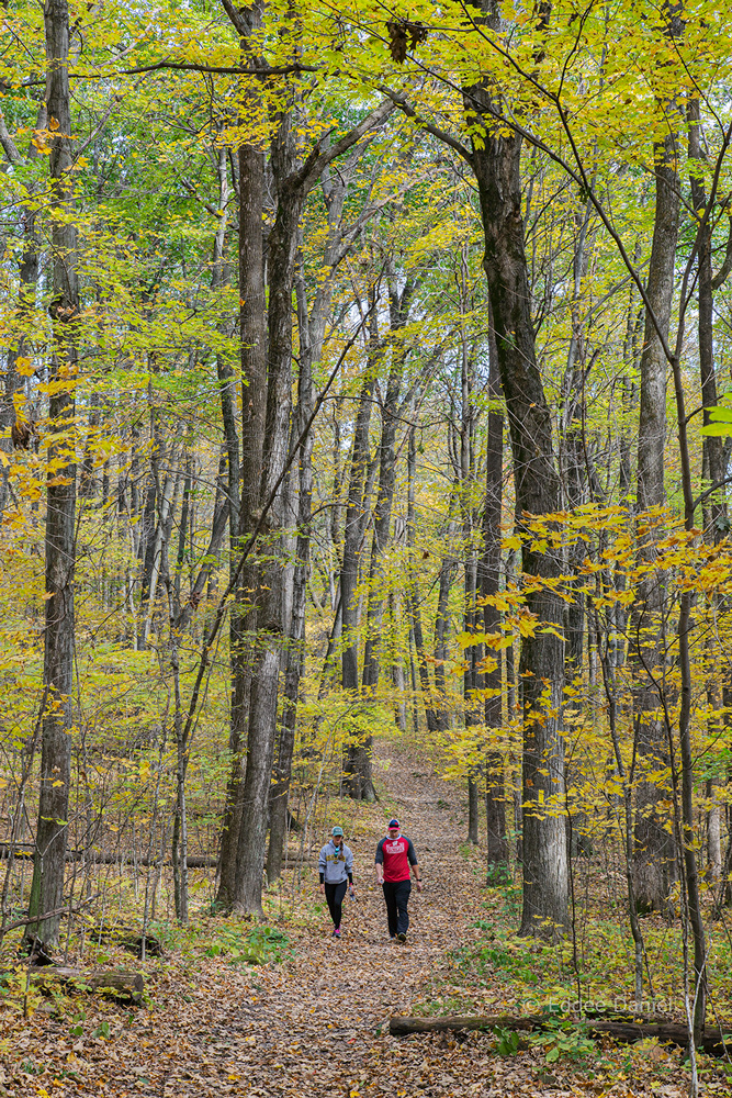
Cudahy Nature Preserve
You can revisit places like this one where you know you’ve seen spectacular autumn colors in the past, but you can’t predict from year to year when the colors will peak. These photos are clear evidence that the leaves hadn’t even begun to turn, let alone peak, for our hike on October 8. Cudahy Nature Preserve is one of three Milwaukee County Parks that is also a
Wisconsin DNR designated State Natural Area, which are intended to “protect outstanding examples of Wisconsin’s native landscape of natural communities, significant geological formations and archeological sites.”
We were joined for this hike by a special guest: Jessica Wineberg is the Trails Coordinator for Milwaukee County Parks. She was a wealth of information and explained the significance of the trail, which is a stop on the county-wide system known as the Forked Aster Trails.
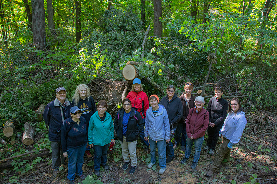
The preserve is located immediately adjacent to one of the runways at Mitchell International Airport and so we had to endure the occasional roar of jets taking off for the morning rush.
If you go: This is a short, easy but non-accessible hike over uneven ground. See Cudahy Nature Preserve.
The Ice Age Trail at Monches
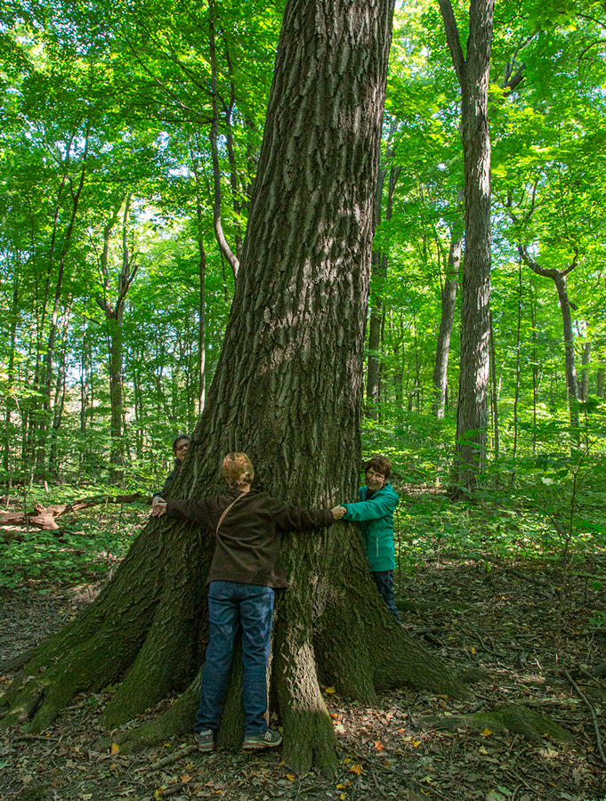
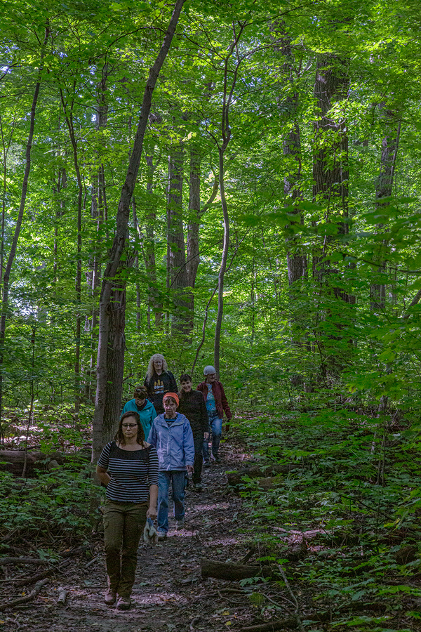
This time, on October 19, the colors finally had begun to turn. Rain had been forecast, but it held off until we were done with our two-hour morning hike. The Monches Segment, located at the Waukesha/Washington County line, is part of the Ice Age National Scenic Trail, one of a select group of 11 National Scenic Trails and the only one entirely within the State of Wisconsin.
A steep section of the trail actually traverses the terminal moraine that inspired the creation of the Ice Age Trail, making its glacial history come alive. Along the way we met many other hikers as well as several pairs of joggers who lapped us coming and going.
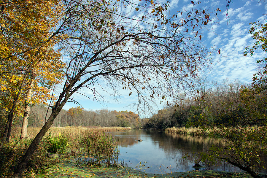
At points along the way we walked alongside the Oconomowoc River, which links a number of popular recreational lakes from Friess Lake near Hubertus to Lac La Belle in Oconomowoc before flowing into the Rock River near Ixonia. For us it was simply a scenic backdrop for our hike.
If you go: This segment of the Ice Age Trail is 3.1 miles one way and runs over uneven ground. You would need to shuttle by car or return the same way. See Monches Segment.
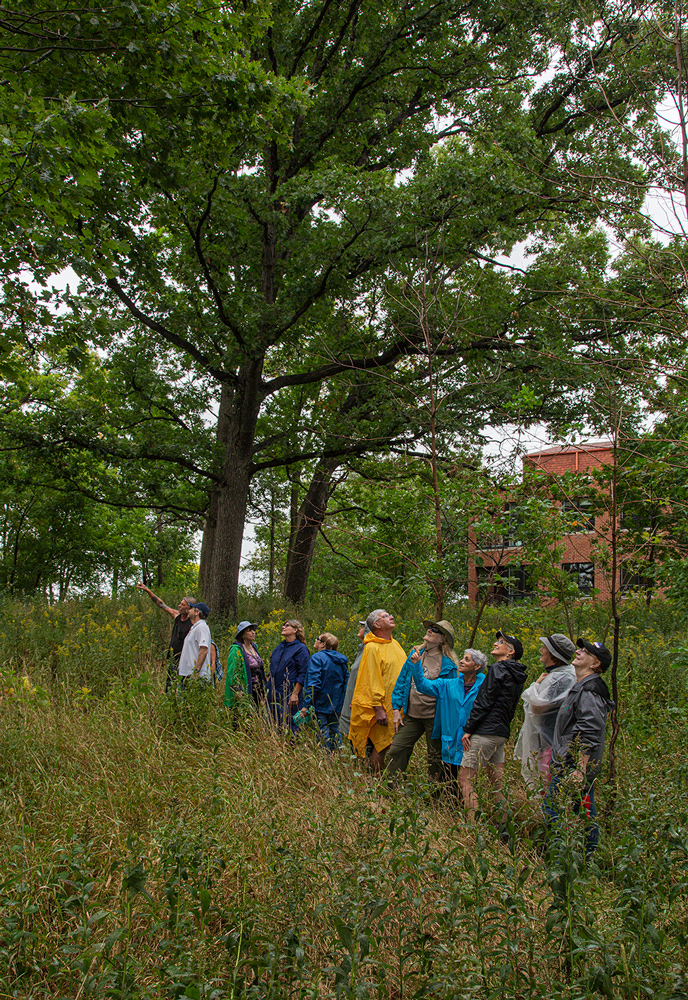
Milwaukee River Greenway
I like to call this remarkable stretch of open green space along the Milwaukee River the region’s premier “urban wilderness.” It encompasses over 840 acres and many individually named parks, such as Lincoln and Estabrook, just to name two well known ones. Our hike took us through several others.

We started out at the Rotary Centennial Arboretum, which was created atop a former brownfield. It is located next to the Urban Ecology Center, which itself is one of the premier attractions in Milwaukee—a nationally recognized model for urban environmental education.
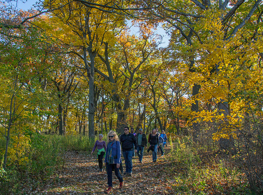
When we reached the East Bank Trail in Riverside Park we paused for a moment in silence to experience the magnificence of the Milwaukee River Greenway concept. We could hear no traffic and see nothing but bluffs burgeoning with lush autumn-hued foliage and the river flowing placidly by. To borrow an exclamatory line from a recent talk by Milwaukee historian John Gurda, “What other city in America has this?!!”
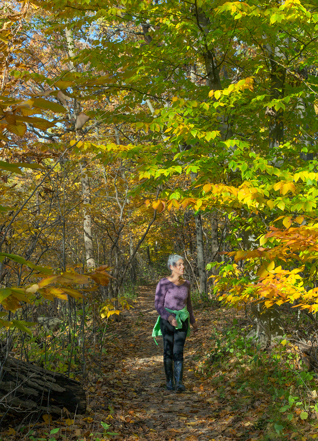
The trail follows the river through Cambridge Woods, which was particularly resplendent with autumn colors that finally were peaking! We paused to look into the mysterious “tunnel to nowhere,” which vanishes underneath the Oak Leaf Trail and leads to a dead end.
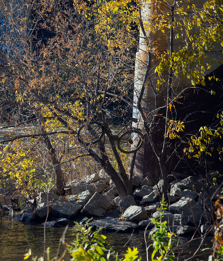
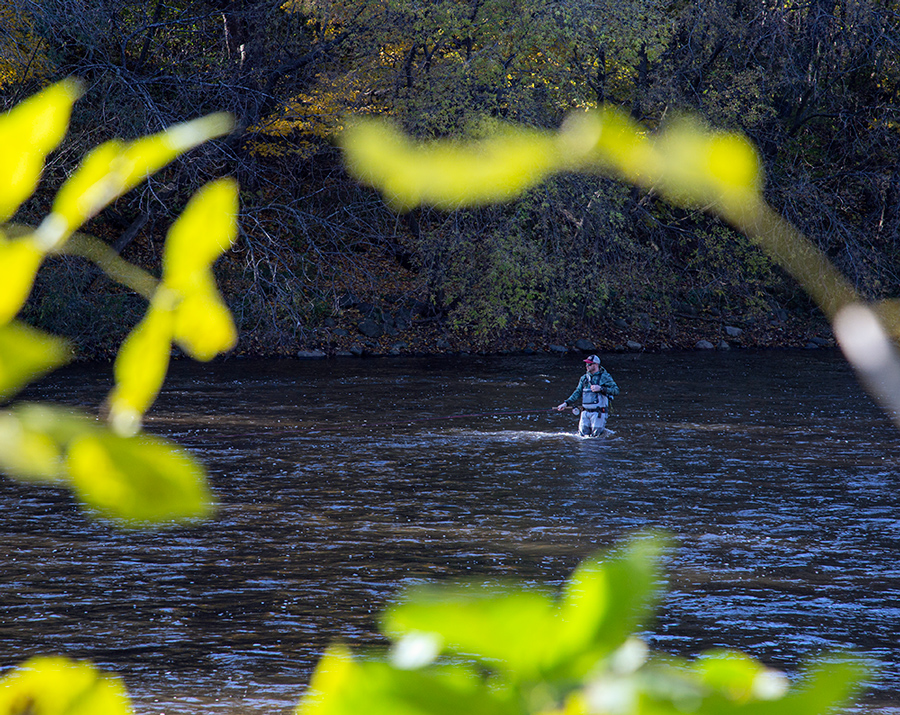
At Hubbard Park, in Shorewood, we stopped to rest at one of the picnic tables before turning back. We observed many activities—kayakers loading boats onto cars, a fisherman in hip waders out in the middle of the river, and a man taking photos of his vintage muscle car in front of the twin tunnels that lead under the Oak Leaf Trail into the park.
We also reflected on Hubbard Park’s origins and transformations. It was first a beer garden, later a grand amusement park named “Wonderland” when the Milwaukee River was a lake backed up by the North Avenue Dam and a string of extravagant resorts sprang up on its shores that catered to weekenders seeking to escape the city.
When polluted waters drove all the resorts out of business and people abandoned the river trees grew up and the land along the bluffs gradually returned to the more natural state that now makes the Milwaukee River Greenway so special. And, in a nod to the circularity of history, since the water quality has improved (that’s too long a story for this blog post) and the river once again become an attraction, a beer garden has returned to Hubbard Park!
If you go: The hike we took was on just a portion of the East Bank Trail, which runs from Caesar’s Park on the south through Estabrook Park and eventually reaches Lincoln Park. The southern portions are accessible. North of Cambridge Woods they are not. See Milwaukee River Greenway.
For more information about Urban Wilderness Explorers, go to the Meetup website.
Eddee Daniel is Project Director of A Wealth of Nature and currently serves as Artist in Residence in the Milwaukee River Greenway for the River Revitalization Foundation.