Wild and Scenic as a State of Mind: Paddling SE Wisconsin Part 2
July 30, 2025 | Topics: Spotlight, Stories
By Eddee Daniel
What does it mean for a river to be “wild and scenic?” According to the official designation, established by Congress in 1968 with the Wild and Scenic Rivers Act, it can mean one of three distinct, sometimes overlapping, things. The most rigorous designation is “Wild.” In order to be classified as wild a river must be undammed and largely “inaccessible except by trail, with watersheds or shorelines essentially primitive and waters unpolluted.” Because so many rivers in the United States have been dammed, provided with road access, and otherwise compromised, this is a rare designation. No rivers in Wisconsin qualify.
The second classification, Scenic, is essentially the same as the first, except that these rivers are accessible in places by roads. The third classification is Recreational, which is broader. These rivers can be accessible by road or railroad, may have some development along their shorelines, and may have been dammed in the past. Two rivers in Wisconsin share both of these classifications. The closest to Milwaukee is the Wolf River, which is well over two hours’ drive north in the Menominee Indian Reservation. (The other is the St. Croix, in the far northwest corner of the state.)
What is a paddler to do who wishes to have a wild and scenic river encounter closer to home? The good news is that, in my experience, it doesn’t take a Wild and Scenic River designation in order to feel as if you are paddling a wild and scenic river. You can do it right here in Southeastern Wisconsin. The two largest rivers in this corner of the state are overall also my two favorite ones to paddle. They are the Fox River and the Milwaukee River. Each has multiple easy-to-handle segments and many stretches that not only are definitely scenic, but also appear quite wild. While this can be considered illusory, especially compared to truly wild rivers, there is no need to diminish the appearance of wildness by complaining that it’s an illusion. I welcome it wherever possible!
I’ve written previous stories about many of my paddles on these two rivers. There are links in the captions if you want to take a deeper dive into the wild and scenic experience. According to its website, the Wild and Scenic Rivers System was created in order to protect rivers that “possess outstandingly remarkable scenic, recreational, geologic, fish and wildlife, historic, cultural or other similar values.” The Fox and Milwaukee Rivers have all of that in abundance.
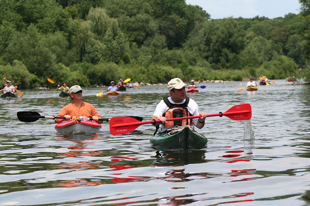
Fox River
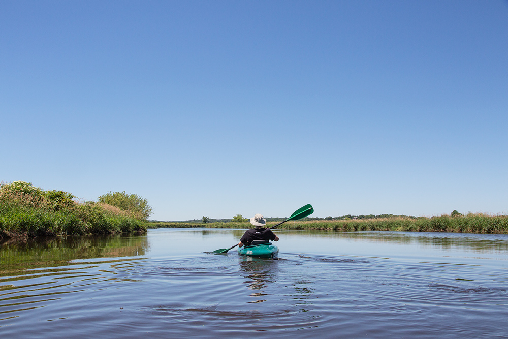
The headwaters of the Fox River are in Waukesha County; it flows south through Racine and Kenosha Counties and then into Illinois where it makes its way south to its confluence with the Illinois River at Ottawa, IL. For most of its length in Wisconsin, south of the City of Waukesha, it is broad and calm with no rapids and a steady but not overly strong current. This makes it possible to put in at any boat launch and paddle upstream and back so that you don’t have to shuttle cars. It should not be confused with the more well-known river that flows north to empty into Green Bay. For more information go to the Fabulous Fox Water Trail website.
Fox River Park, Waukesha
I have paddled in both directions from the boat launch in Fox River Park. Heading upstream you are in the Fox River Parkway until you get quite close to downtown Waukesha. If you have two cars to shuttle, heading downstream will take you through Vernon State Wildlife Area. This 4,300-acre property is mostly wetlands, but also includes some upland and wooded areas. Along the river, though, there are few trees and almost no shade. Paddling steadily with the slow current it took five hours to get from Fox River Park to the take-out point on Hwy ES/National Avenue in Mukwonago.
Story link: Kayaking the Fox River in Waukesha County
Big Bend Village Park
Here too I’ve paddled in both directions. Either direction takes you through one of the most remote-seeming sections of the river. Going south, downstream, is another long stretch that ends up going past a few riverside houses just before reaching Tichigan Wildlife Area.
Story link: Fox River Idyll
Tichigan Wildlife Area
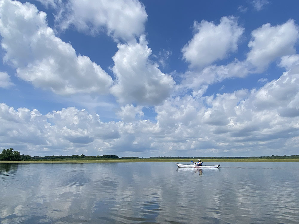
The boat launch is at the north end of this 1,562-acre property at the point where the Fox River enters and then becomes a lake impounded by a dam in the Village of Waterford. If you paddle upstream you can get a taste of the remoteness of the stretch as described above without shuttling cars. If you paddle south, by contrast, you will have a lake experience instead of a river one. Within the Wildlife Area you remain surrounded by nature, but beyond that the long, sinuous lake is largely surrounded by houses and other developments in the villages of Tichigan and Waterford.
Points South
South of Tichigan Lake I have much more limited experience. I put in at Riverside Park in Burlington once and paddled upstream for a while, but I didn’t go far. However, the Fabulous Fox Water Trail map shows quite a few boat launches downstream of the dam in Waterford. There is another dam in Rochester at Case Eagle Park. After that the Fox is dam-free all the way to Illinois.
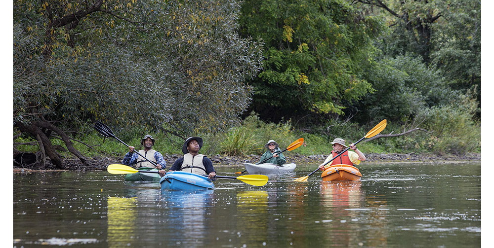
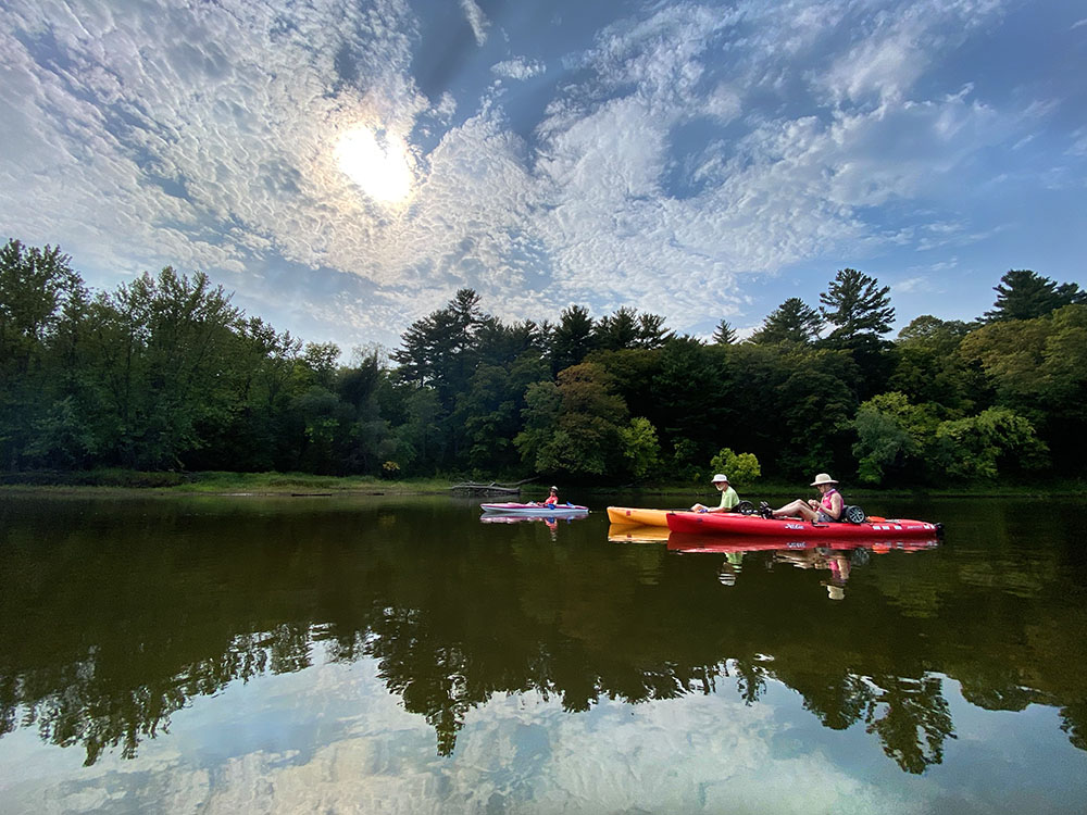
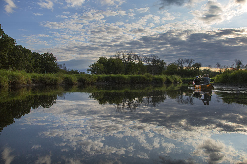
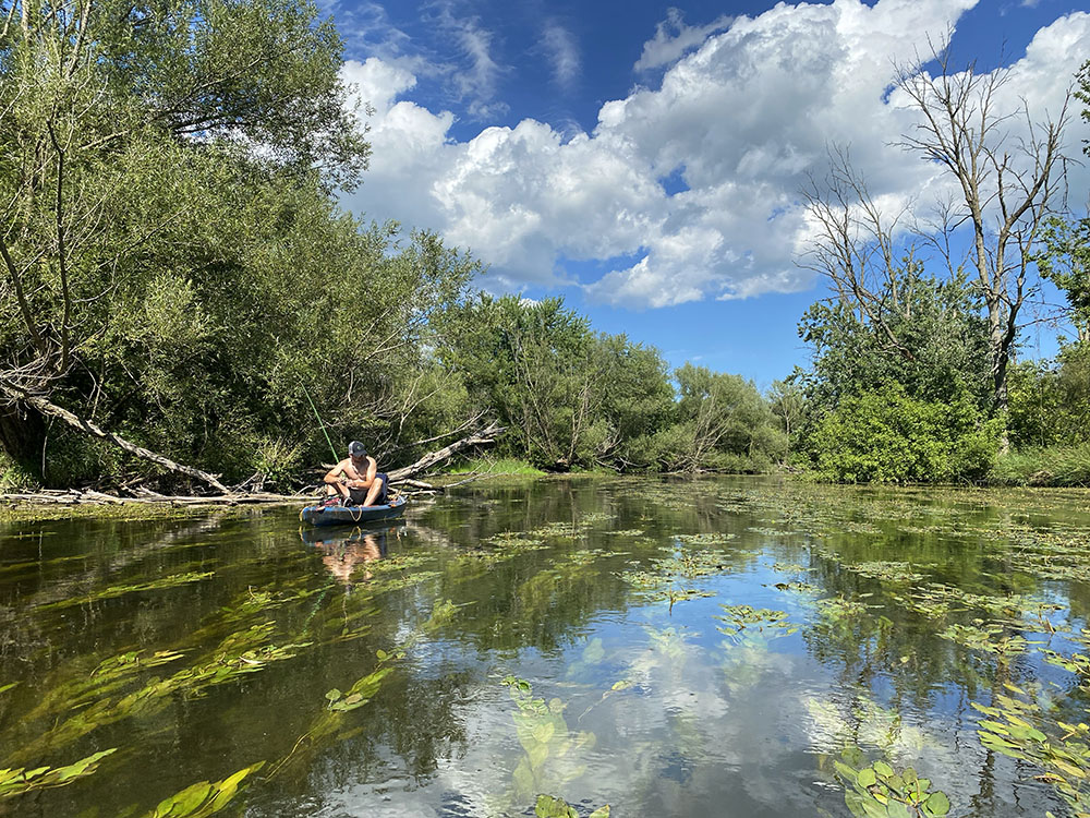
The Milwaukee River
I love paddling our namesake river. It is a more complex river, with several important tributaries and many potential launch sites. The headwaters are in Fond du Lac County, north of Campbellsport, and it meanders for 104 miles until it reaches downtown Milwaukee and Lake Michigan. Many stretches can be paddled, although much of it is shallow and therefore can be challenging when the water level is low. When the water level is high it can be a lot of work to paddle against the current for any distance, so shuttling is a better strategy. I’ve paddled most of it downstream from the City of West Bend, one stretch at a time. There are too many places to put in and take out to cover them all, so I’ll be sharing highlights. For a much more complete picture, check out the Milwaukee Urban Water Trail.
Story link: Explore the Milwaukee Urban Water Trail
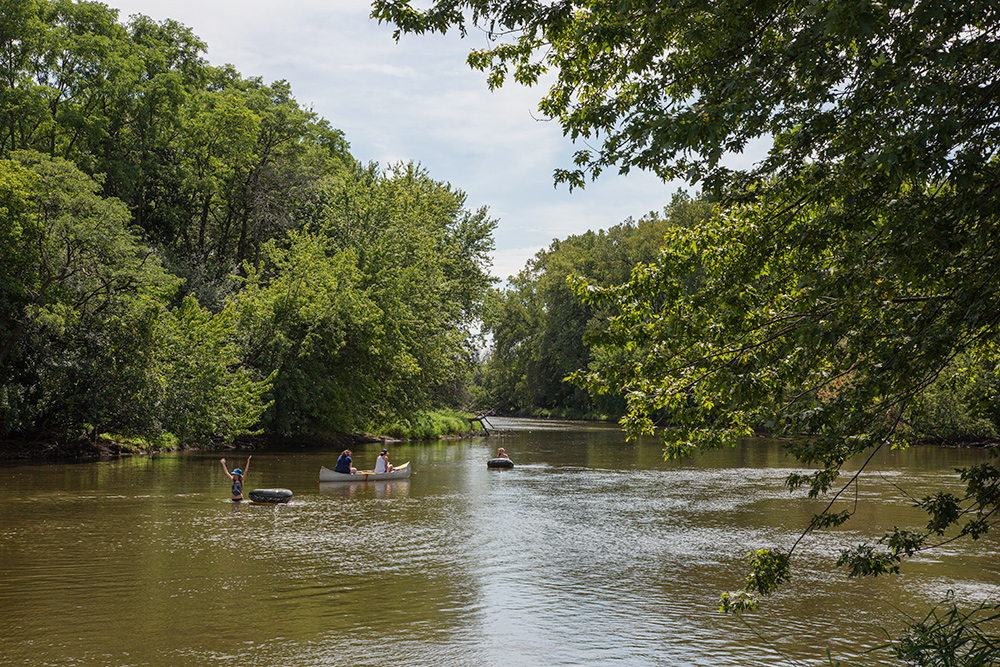
West Bend to Grafton
Beginning in Riverside Park, near downtown West Bend, it is surprising how quickly the city disappears and you are immersed in nature. The river passes right alongside the West Bend Airport runways, but otherwise the few developments along the banks are largely hidden by riparian vegetation. There is an occasional riverfront house, but mostly it is rural and wild … or wild-ish. Remember, appearances matter.
Except when passing the riverside villages of Newburg, Waubeka and Saukville, the situation remains much the same for the 18 miles from West Bend to Grafton. You will pass by, or through, a number of parks along the way, including Quaas Creek, Riveredge Nature Center, Waubedonia, Hawthorne Hills, Tendick, and the Blue Heron Wildlife Sanctuary, as well as quite a few preserves owned and maintained by Restoring Lands (formerly known as Ozaukee Washington Land Trust). The dam at Grafton is essentially a dead end, with no convenient way to portage.
Story link: Kayaking the Milwaukee River in the wilds of West Bend
Grafton to Glendale
Downstream from Grafton the river environs become more suburban and less rural. And yet, until you reach Milwaukee where the riverbanks are more peppered with residential development, the experience on the water isn’t much different than in the rural reaches upstream. The dam at Thiensville is easily portaged and the long, narrow impoundment above it is always an option when the water levels are otherwise low. Except for the absence of current, it is still more of a river experience than lake. In Glendale you reach the Kletzsch Park Dam, which is also easily portaged.
Story link: Kayaking a Surprising Suburban Wilderness
The Milwaukee River Greenway
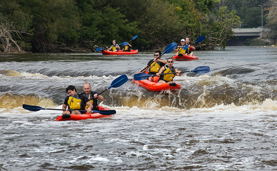
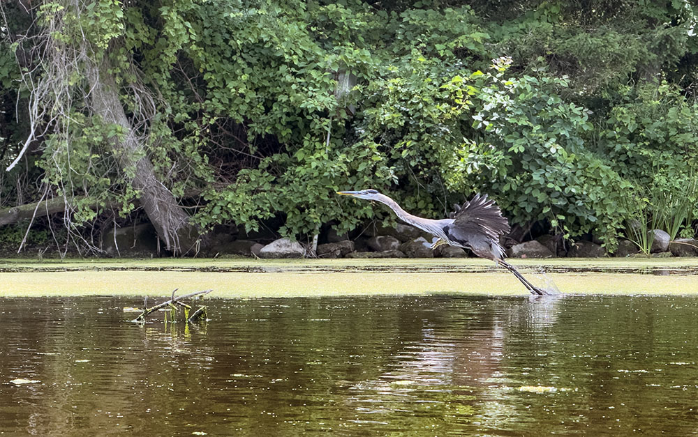
Regular readers of this blog know that I love the Greenway, Milwaukee’s premier urban wilderness. But I especially love kayaking down it! Because of the zoning restrictions imposed when the Greenway was established few tall building rise above the tree lines on the river bluffs, making it feel at times as if you’ve been transported to a Wild and Scenic River up north, instead of being surrounded by the City of Milwaukee. It’s almost magical. There is also a bit of excitement, with natural rapids at Estabrook Park and manufactured rapids at North Avenue. Unless you’re a daredevil (which I’ve witnessed), you also have to portage around the Estabrook Falls (see story link below).
I usually put in at Lincoln Park, but you can start up at Kletzsch for a longer adventure. There is a take-out boat launch at Turtle Park at the south end of the Greenway. If you don’t want to shuttle, you can also tool around the oxbows at Lincoln Park. (The featured photo at the top is from Lincoln Park.)
Story links:
Fun and adventure on the Milwaukee River at Estabrook Falls
An Historic Return to the Milwaukee River and Indigenous Roots
The Estuary
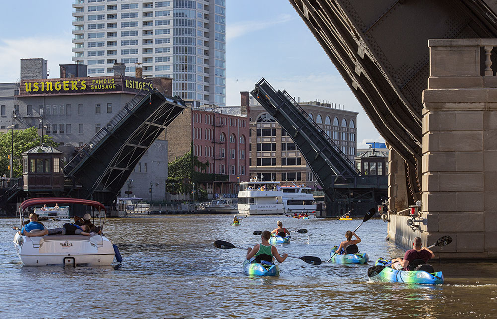
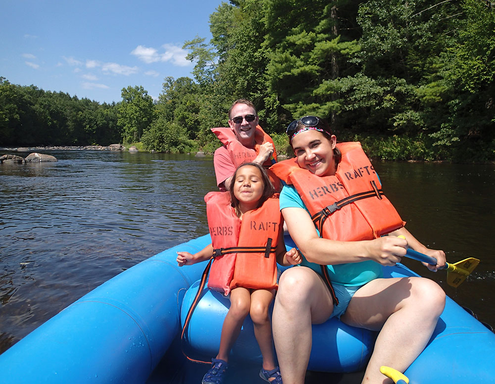
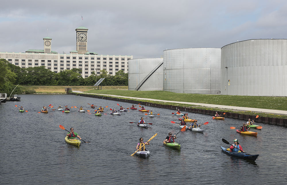
You can forget all about “wild and scenic” at this point—or even much of nature at all. Totally urban. However, the estuary has become very popular for paddling. It extends from the Greenway, through the Inner Harbor, to Baran Park on the Kinnickinnic River, and to Three Bridges Park on the Menomonee River (see Part 1 of this story for that river). You don’t even need your own kayak as there are places to rent one. Beware of motorboat traffic and, in the Inner Harbor, Great Lakes shipping and cruise ships. Hardy stalwarts can venture out into the Outer Harbor and Lake Michigan, of course. See the Milwaukee Urban Water Trail map for more information and places to launch.
Related stories:
Paddling SE Wisconsin: Adventure Awaits! (Part 1)
Downtown Milwaukee’s river of kayaks
Kayaking Wild and Scenic Rivers!
Useful Link: For boat launches, portages and water conditions on the Menomonee, Milwaukee and Kinnickinnic Rivers and along Lake Michigan: Milwaukee Urban Water Trail .
Eddee Daniel is a board member of Preserve Our Parks.
About Preserve Our Parks
Preserve Our Parks, Inc. is an independent nonprofit organization dedicated to the preservation of parks and green spaces. Our mission: To advocate for and promote Milwaukee area parks and open spaces and to strive to protect the tenets of Wisconsin’s Public Trust Doctrine.
For more than 25 years, we have been a leader in advocating for the protection of Milwaukee County park lands, halting many proposals to develop, privatize, or sell local parkland and lakefront spaces. More information about POP, including past accomplishments, is available at www.preserveourparks.org.