Route of the Badger: Cycling (and multi-use) Trails in SE Wisconsin
September 10, 2024 | Topics: Places, Spotlight
By Eddee Daniel
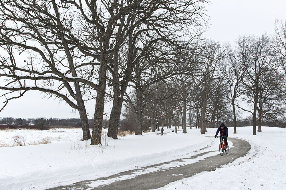
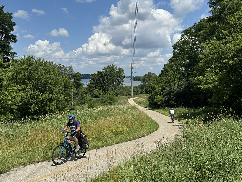
I start nearly every morning—in good weather—by hopping on my bike and heading out on the Oak Leaf Trail for some exercise. I feel extremely fortunate to have this excellent trail so close to home. More than that, since I live next to Hoyt Park in Wauwatosa, I can take the trail in three different directions to vary my morning routine. And if I want to go farther than my regular morning practice I have several choices other than continuing along the Oak Leaf Trail in any of those directions.
Within a few miles of home the Oak Leaf Trail intersects first with the Hank Aaron State Trail and then the New Berlin Recreation Trail. Although I’ve never done it, if I were really ambitious I could continue on the New Berlin Trail to where it connects with the Glacial Drumlin Trail. That would allow me to bike mostly off-road from my home nearly to Madison!
But wait! That’s just the beginning. At other points in its 135-mile circuit of Milwaukee County the Oak Leaf Trail intersects with numerous other trails that form a growing network of cycling and multi-use trails that lead away from Milwaukee in every direction. This interconnected trail system, which currently comprises over 340 miles of existing trails in southeast Wisconsin, is known as the Route of the Badger!
This didn’t happen by accident. The Route of the Badger is the result of years of visioning, planning, fundraising, and implementation by numerous organizations, agencies, municipalities and other layers of government.
In development since 2014, the Route of the Badger was conceived by the Rails to Trails Conservancy (RTC), a Washington-based national organization dedicated to “building a nation connected by trails, reimagining public spaces to create safe ways to be active outdoors.”

An initial analysis of the Milwaukee-Waukesha-West Allis-Racine metropolitan area revealed that 90 percent of the population lived within three miles of a trail. Plans were developed for making small investments in trail infrastructure to connect these existing trails—thereby creating benefits greater than the sum of their parts related to health, economic development, tourism, conservation, walkability and bikeability.
The Route of the Badger offers a vision of healthy, thriving communities in Southeast Wisconsin centered around a world-class, 700-mile-plus regional trail system that connects people across towns and counties, providing endless transformational opportunities for physical activity, tourism, connections to nature, recreation and stronger businesses along the route.
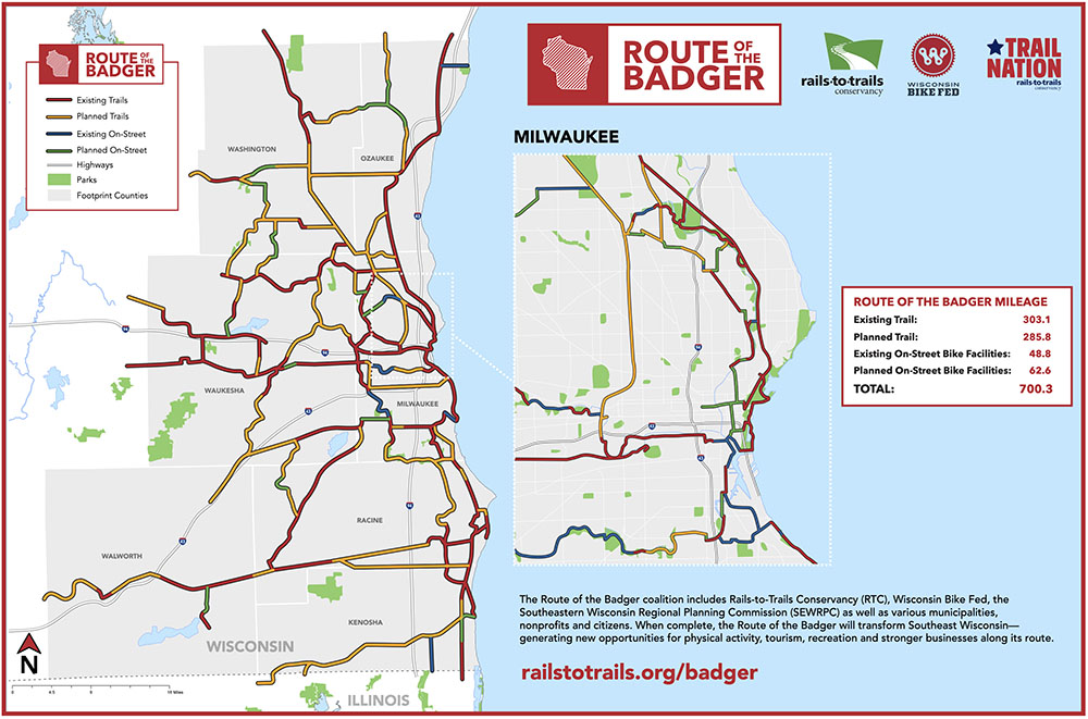
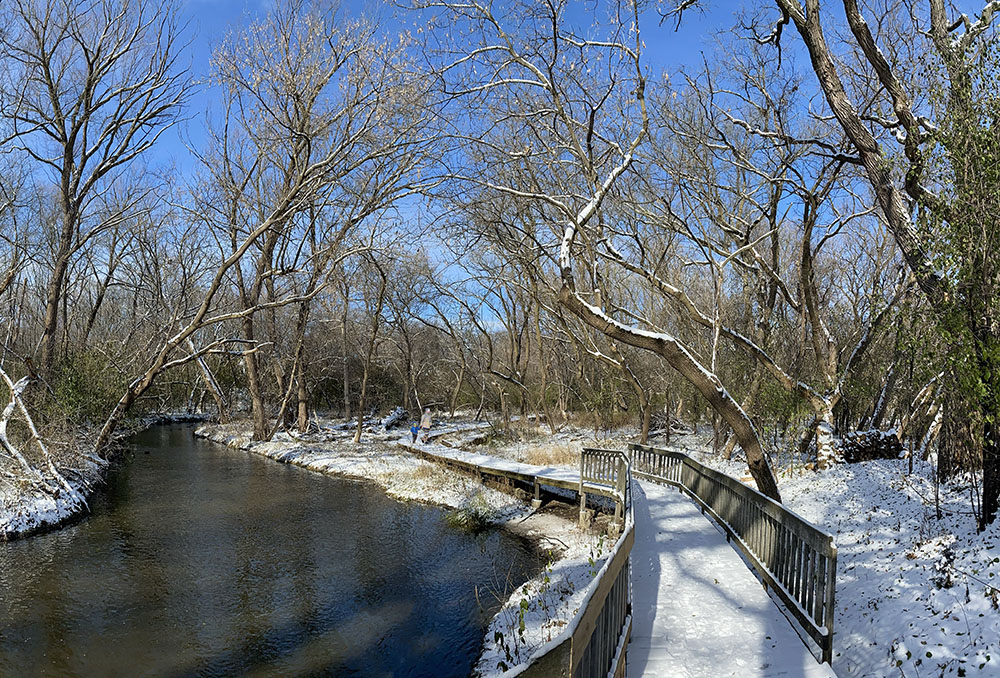
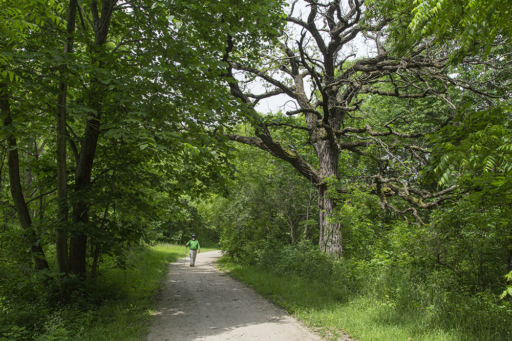
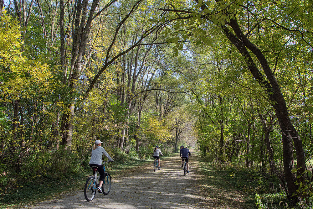
The Route of the Badger is still being planned. However, you can already enjoy cycling on many existing north-south segments, east-west segments and looping corridors. Here is a partial guide, illustrated by photos of the ones I’ve been on. The links in the titles will take you to individual websites for more information. (You can also find maps of them on the Rails-to-Trails website.) The Route of the Badger online interactive map is the best way to see the interconnectivity of the network. It allows you to zoom in on each segment.
Ozaukee County
This 30-mile trail spans the entire length of Ozaukee County. Along the way it takes users through a great variety of environments, from vibrant urban locales to quaint small towns to farmland, woodlands, wetlands and the shores of Lake Michigan. It passes through the historic downtowns of Cedarburg, Grafton and Port Washington. Trail users can also take shorter excursions of five, ten or fifteen miles between smaller communities like Mequon, Thiensville and Belgium. It connects with the Oak Leaf Trail on the south and the Sheboygan Interurban on the north.
Washington County
A 25-mile trail extending from the historic city of West Bend into the scenic countryside and glacial landscape of the Kettle Moraine State Forest – Northern Unit. Built on a former railroad corridor, the history of the trail is remembered in the title “Eisenbahn,” a German word for railroad. The trail passes through the communities of West Bend, Kewaskum and Campbellsport, ending in Eden at the village park. Washington and Fond du Lac counties maintain and manage the trail.
Waukesha County
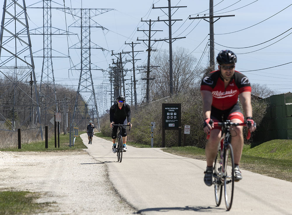
A seven-mile lineal recreation trail located on the Wisconsin Electric Power Company right-of-way in the City of New Berlin. It extends from the Oak Leaf Trail in Greenfield Park to Lincoln Avenue in Waukesha where, after a short on-road section, it connects with both the Glacial Drumlin Trail and the Fox River Trail.
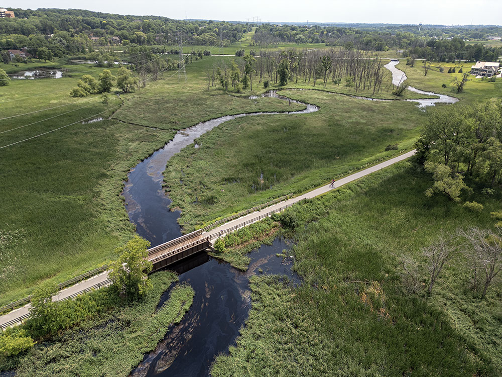
Running between Wisconsin’s two largest urban areas, this trail stretches for 52 miles through farmlands and glacial topography. The trail travels through ten small towns from Waukesha to Cottage Grove. The trail is on an abandoned rail corridor, except for a 1.5-mile section northeast of Jefferson, which uses public roads as the trail route. The eastern terminus connects with the Fox River Trail and, after a short on-road section, with the New Berlin Recreational Trail.
Two disconnected sections of this trail have been completed. One 7-mile section is located entirely within the City of Waukesha. It starts in Frame Park in downtown Waukesha, runs through the Fox River Parkway south to Fox River Park. At W. College Ave. it connects with the Glacial Drumlin Trail. In Frame Park the trail creates a loop along both sides of the river.
Another 3-mile section of the Fox River Trail in the City of Brookfield is part of the Brookfield Greenway Trail System.
Brookfield Greenway Trail System
This is a city-wide trail system in Brookfield and Elm Grove that only partially overlaps with the Route of the Badger. It is currently made up of numerous short, discontinuous trails with individual names. The city plans to connect them in the future. The ones that coincide with the Route of the Badger include a 3-mile section of the Fox River Trail and a half-mile section in Mound Zion Park. The Grove Trail in Elm Grove connects, with a short on-sidewalk section, with the Oak Leaf Trail.
This 16-mile paved route begins on the west in North Lake and travels east through rural forests, marshes, and fields. The landscape becomes increasingly suburban as it passes through Merton, Sussex, Lannon, and Lisbon on its way to Menominee Falls. Along the way it runs near Merton Fireman’s Park, Lisbon Community Park, Sussex Village Park, Madeline Park, Menomonee Park, Lannon Village Park, and Mill Pond Park. The trail includes numerous road crossings, several with heavy traffic.
The 15-mile paved trail runs between Pewaukee and Oconomowoc, passing through Delafield and Summit. True to the name, it runs by several scenic lakes: Pewaukee, Nagawicka, and the Upper Nemahbin. In some places the trail traverses rolling terrain, including one formidable hill; in others it cuts through flat marshland. The landscape is a mix of rural and urban, with farm fields, forests, and suburban neighborhoods. A 2-mile section coincides with the Ice Age National Scenic Trail. In Delafield it traces the edges of Naga-Waukee Park and Frog Hollow Preserve. Two trails intersect with it, linking it to the Glacial Drumlin Trail: 1-mile long Cushing Park Road Recreation Trail and 2.3-mile Meadowbrook Trail.
Bark River Greenway Trail
This 4-mile trail following the Bark River, largely urban/suburban in character, runs through the middle of Hartland. It links a number of separate parks, including Hartbrook Park, Bark River Park, Nixon Park, Penbrook Park and Hartland Marsh Preserve. Much of it coincides with the Ice Age National Scenic Trail. There are plans to extend it north and south and eventually connect the Bugline Trail with the Lake Country Trail.
Racine County
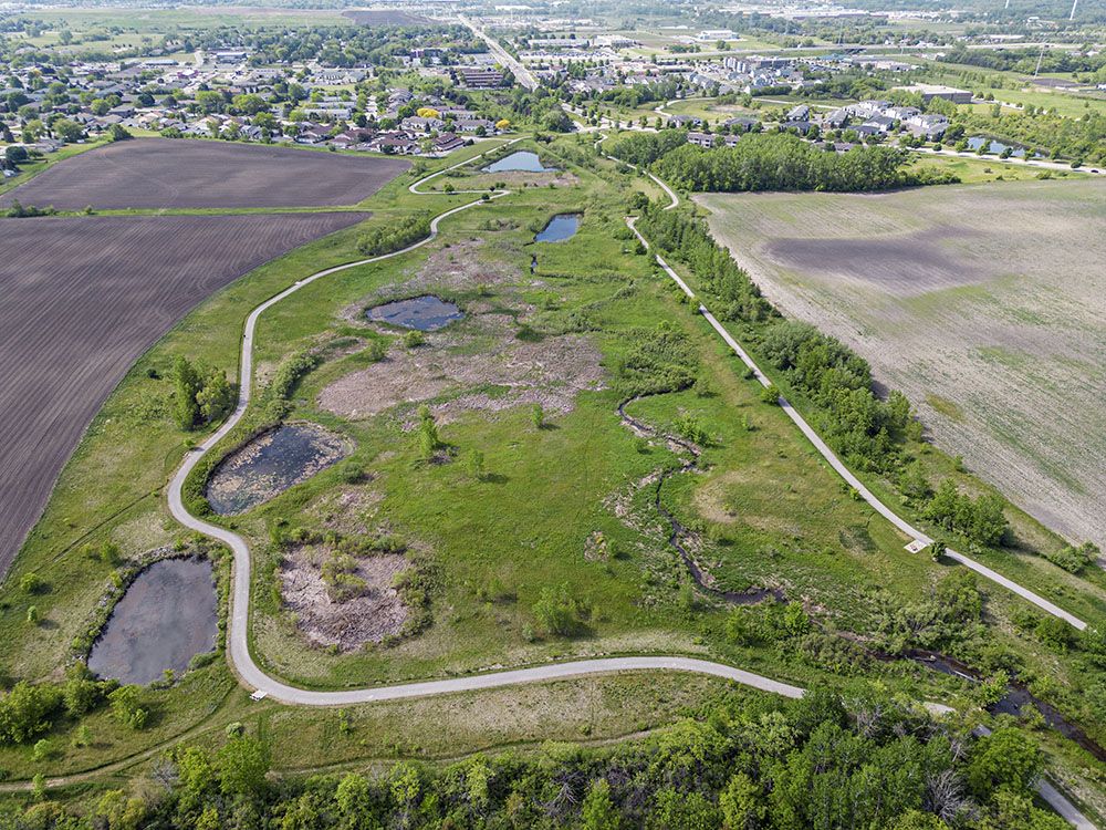
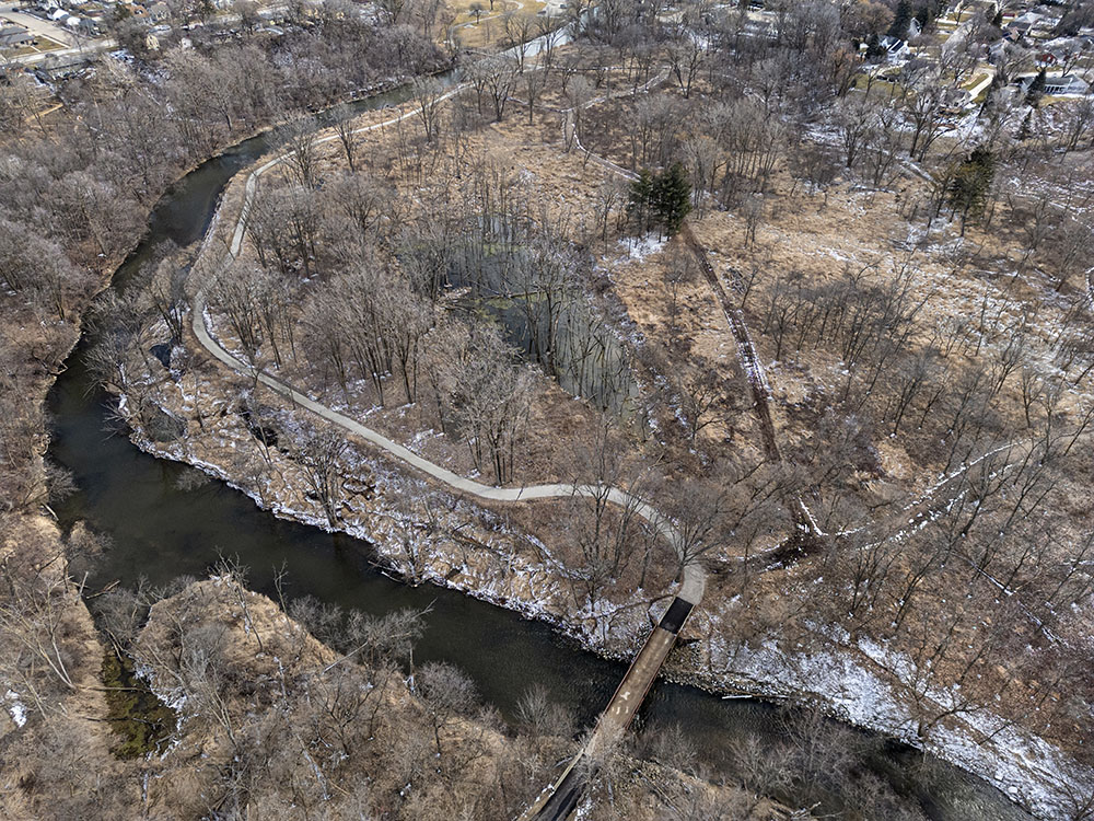
A 7-mile paved trail within the 339-acre Pike River Corridor in the Village of Mount Pleasant. The corridor has been the subject of ecologically based watershed restoration and management. At two places along the route the trail divides and loops around picturesque wetlands and ponds.
Most of the 19-mile trail is located in western Racine County, with four miles in Waukesha County. The trail travels southwest from Muskego to Burlington, paralleling Highway 36 for 15 of these miles. In many places, the busy four-lane highway is seen or heard from the path. The trail connects a number of separate parks, including Richard J. Meyer Park, Case Eagle Park, Saller Woods, Riverside Park, and ending in Bushnell Park, where it connects with the White River State Trail. Most of the trail is paved, but some sections are gravel.
A 4-mile trail along the Root River linking Colonial Park, Lincoln Park and Island Park before ending up at the Main Street Bridge in downtown Racine, just shy of Lake Michigan. It connects with the Racine – Sturtevant, MRK and North Shore trails.
Walworth County
This 19-mile trail follows a former rail corridor between Elkhorn in Walworth County and Dover in Racine County, with a short gap in Burlington. The trail passes by numerous bridges, scenic vistas, quaint towns, farmlands and wetlands. The trail is operated by Walworth and Racine counties.
Milwaukee County
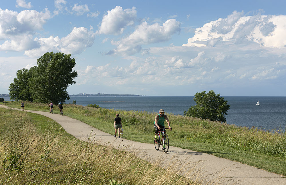
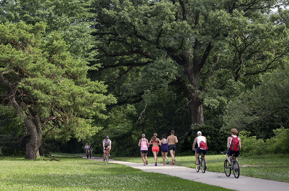
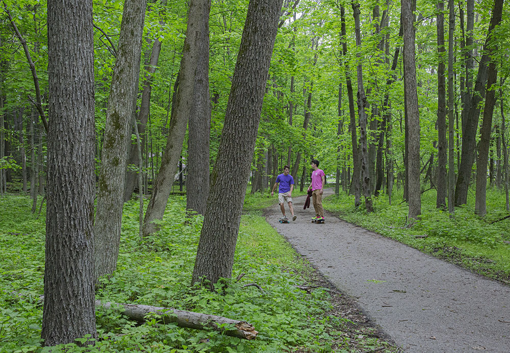
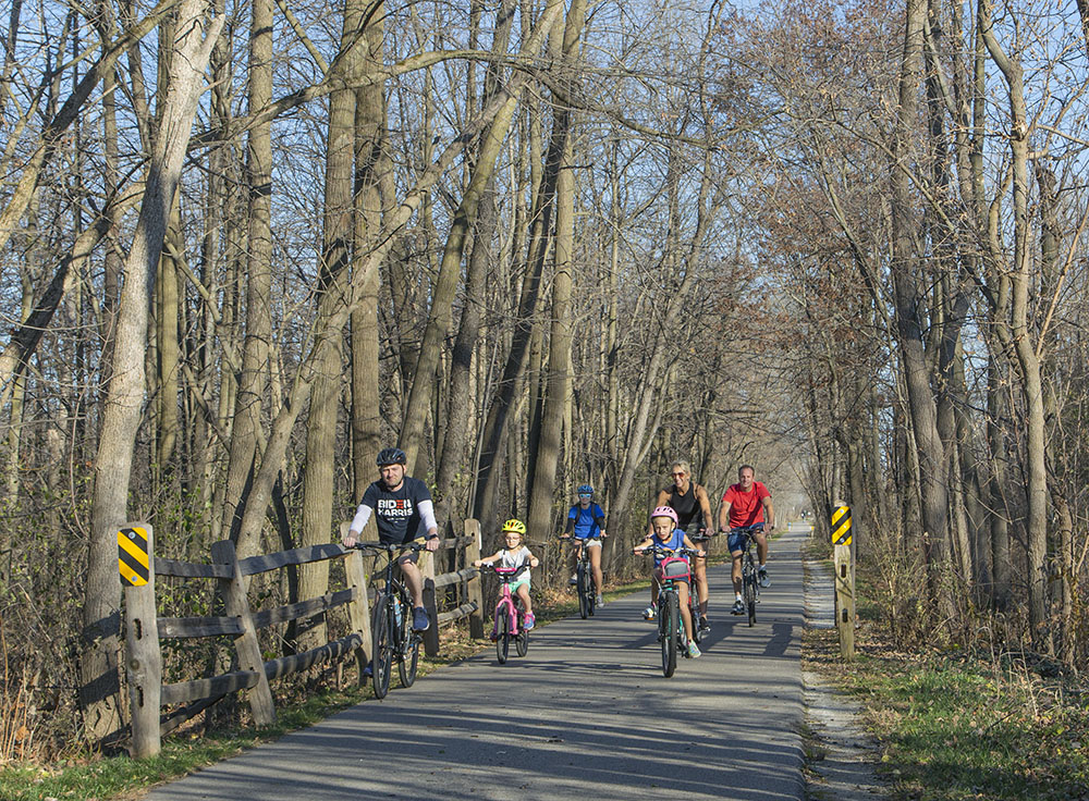
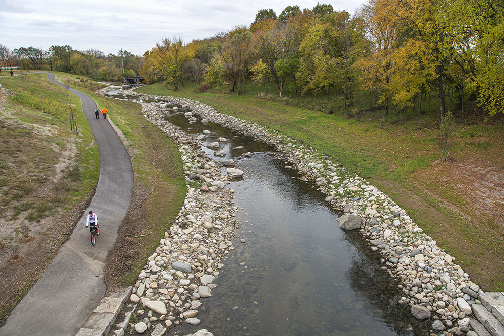
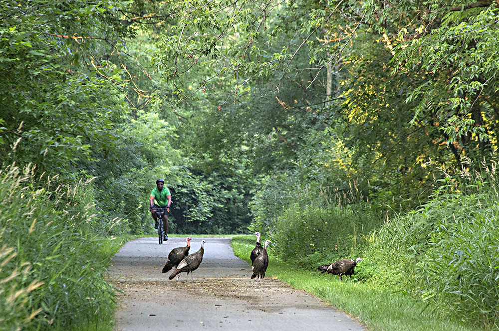
Over 135 miles of multi-use trail encircle Milwaukee County, along with two cross-county segments that create north side and south side loops. The trail system is mostly asphalt and off-road, however portions of the trail are on Milwaukee County parkways, shared with traffic, and some connecting sections use municipal streets. The overall trail is broken up into a number of segments, or “lines,” to differentiate them. A long section of the South Shore Line runs along the Lake Michigan shoreline through the “String of Pearls” series of parks. Other lines run through the parkways that follow five Milwaukee County waterways—the Milwaukee, Menomonee, Kinnickinnic and Root Rivers, and Oak Creek.
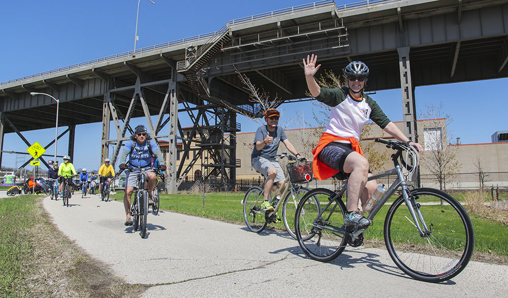
The only urban State Trail in Wisconsin, this 14-mile trail is a continuous east-to-west connection between Lakeshore State Park/Summerfest Grounds and the Milwaukee/Waukesha county line. It connects with the Oak Leaf Trail at both ends. A major portion of the trail runs through the revitalized Menomonee Valley where it passes by American Family Field, Potawatomi Bingo & Casino, the Harley Davidson Museum, the Domes, and Three Bridges Park, among other attractions. It provides an experience of diverse environments ranging from intensively urban, to river views, prairie and wooded surroundings, as well as the Lake Michigan shoreline and Milwaukee’s Lakefront.
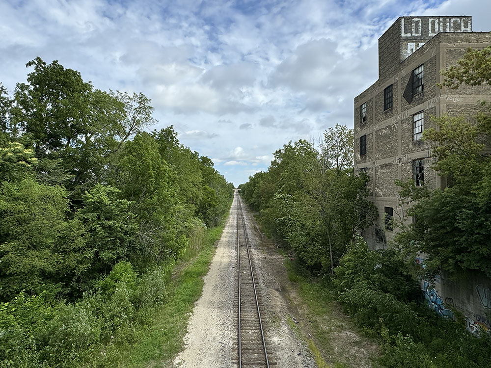
30th Street Greenway Corridor
This is a work in progress. A recent study found that neighborhoods experiencing inequality in Milwaukee—those where a concentration of the population lives under the poverty line, is unemployed, does not have a high school degree, does not own a vehicle and is either African American or Hispanic—disproportionately lack access to biking and walking facilities.
The 30th Street Greenway Corridor trail project—traveling through some of the poorest neighborhoods in Milwaukee—would help address many disparities by providing increased opportunities for public transit, active transportation and recreation, and help support economic development along the route.
In the planning phases for many years, a 7.2-mile trail would be developed along an active segment of north-south rail line beginning near the Hank Aaron State Trail and ending at Havenwoods State Forest.
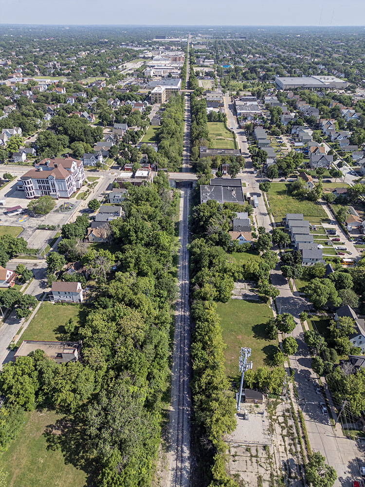
The 30th Street Greenway Corridor is just one of many places in southeast Wisconsin where the Route of the Badger plans to expand in coming years. The vision is to eventually link up all the various trails into one interconnected network. This map gives an overview but to see the planned network in detail go to the online interactive Route of the Badger map.
For more information about the Route of the Badger go to the RTC website.
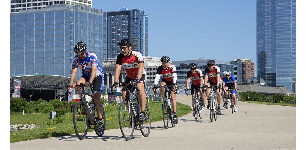
Note: The featured image at the top of the page shows a group of the Spokesmen cycling club riding through Lakeshore State Park in downtown Milwaukee, which is the east trailhead of the Hank Aaron State Trail.
Eddee Daniel is a board member of Preserve Our Parks.
2 thoughts on "Route of the Badger: Cycling (and multi-use) Trails in SE Wisconsin "
Comments are closed.
reat stuff, Eddee! Now if I were just 20 years youner Id ride tem all next week! 🙂
Jon
– sorry for te keyboard malfunctions ere! (letters betw. F and I dont produce – ?)
Great information. I love cycling and look forward to trying some new trails.