String of Pearls: Milwaukee County’s south shore parks
September 17, 2018 | Topics: Spotlight
Cupertino, South Shore, Bay View, Sheridan, Warnimont, Grant, Oak Creek Parkway
By, Patricia Jursik
Photography by Eddee Daniel
The grand design of the Milwaukee County Park System has been called the “emerald necklace” because the original planners wanted a ring of interconnected parks and parkways along the rivers all around Milwaukee County. It is also fitting to designate the wonderful string of connected parks along the south shore of Lake Michigan a “string of pearls.”
The “string of pearls,” reflecting the steely blue water of Lake Michigan, preserves a long stretch of lake shore for parks, beaches, picnic areas and the Oak Leaf Trail. This series of parks situated along Lake Michigan on the south side of Milwaukee County is the longest contiguous shoreline within the park system. In contrast to the Bradford/McKinley lakefront, which has about two miles of dedicated trail, the south shore has about 12 miles of dedicated trail.
The south shore parks begin in Bay View at Cupertino Park and end in South Milwaukee at Grant Park and the Oak Creek Parkway. (A discontinuous but significant lakeshore park, in development by the City of Oak Creek, will end at Bender Park. When completed, it will increase the south shore trail to over 15 miles.)
Having bicycled all 120 or so miles of the Oak Leaf Trail, I can testify that the finest ride—or you can walk—is through this “string of pearls.” Here is a guide to the parks:
Cupertino Park (map)
Cupertino is south of the Coast Guard Station at the south end of the Hoan Bridge. Just a short ride along Lake Michigan down from the bluff level onto the beach level, this trail leads to a public parking lot at South Shore Park marina and boat launch.

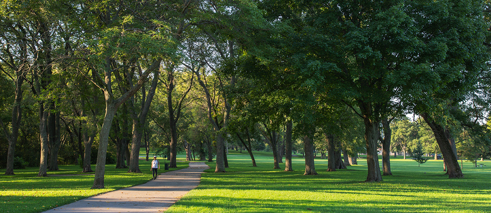
South Shore Park
South Shore Park (map)
The marked bike trail continues through the South Shore Park parking area, leading to a trail along the beach. Continuing south to green parkland, the trail passes the Terrace, a beer garden which also offers grilled sandwiches and burgers.
At this point, just south of a play area near the Terrace, the rider is offered an enticing choice: continue along the beach level or climb the hill and ride along the top of the bluff. Each choice has its advantages. If this is your first ride, I’d recommend the beach route. It is a spectacular ride at water’s edge through South Shore Park, then continues uninterrupted along Bay View Park.
Choosing the bluff trail offers elevated panoramic views of the lake. However, the dedicated trail is interrupted for about two blocks. Between Texas and Oklahoma Avenues the rider must use Superior Street until reaching Bay View Park, where the dedicated trail resumes along the bluff. (If doing a round trip, ride south in one direction and north in the other.)
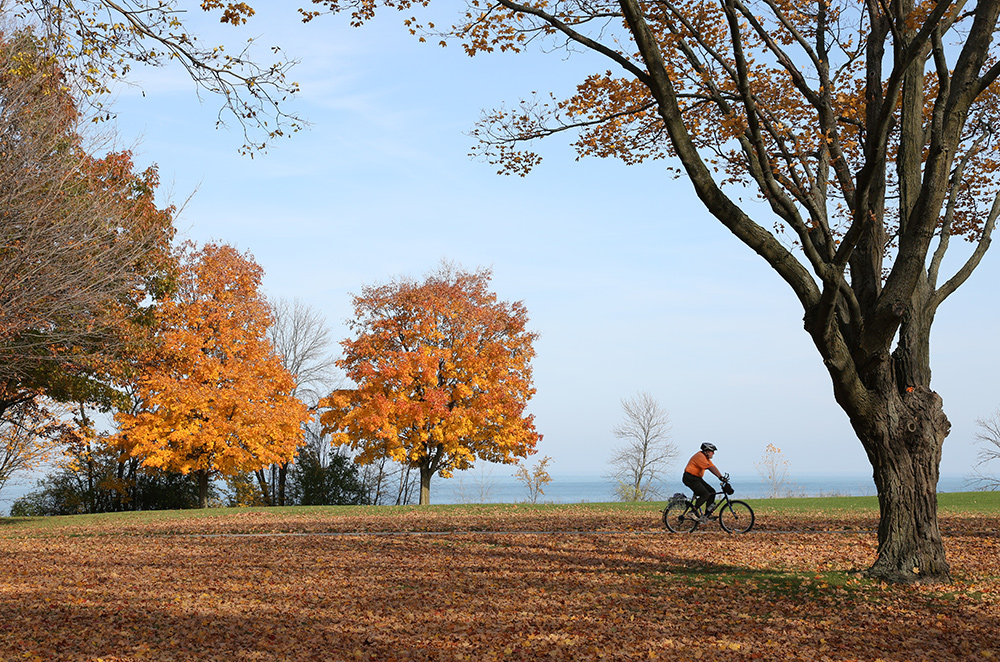
Cyclist on Oak Leaf Trail, Bay View Park
Bay View Park (map)
In Bay View Park the beach trail rises to merge with the bluff trail and enters the City of St. Francis. The Oak Leaf trail skirts around the fenced F.B.I headquarters and along Lake Drive, continuing south through a ribbon park at the top of the bluff. A WE Energies power plant that once stood here has been replaced by condominiums and apartments. Just south of Packard Avenue, watch for the trail to cut east around the condominium complex. It is easy to miss where the Oak Leaf Trail follows the ribbon park along the lake shore.

Sunrise, Sheridan Park
Sheridan Park (map)
Once into Sheridan Park, in the City of Cudahy, just beyond the last of the condominiums, be sure to stop and appreciate the view of the bay. This is perhaps the finest view of the entire bay, the Port of Milwaukee and the city skyline. Several park benches allow for leisurely viewing.
Sheridan Park is one of the venerable parks in the Milwaukee County Park System. Well over 100 years old, Sheridan was developed by the Civilian Conservation Corps during the Great Depression. At the Layton Avenue entrance to the park stands a statue of Patrick Cudahy, who founded the City of Cudahy and was instrumental in setting aside land for Sheridan and Grant Parks. Due to this enlightened planning in the early 1900s, these parks are treasures to this day. Patrick Cudahy, once a Park Superintendent, is credited with the leadership that allowed preservation of park land for the workers in his “company town.”
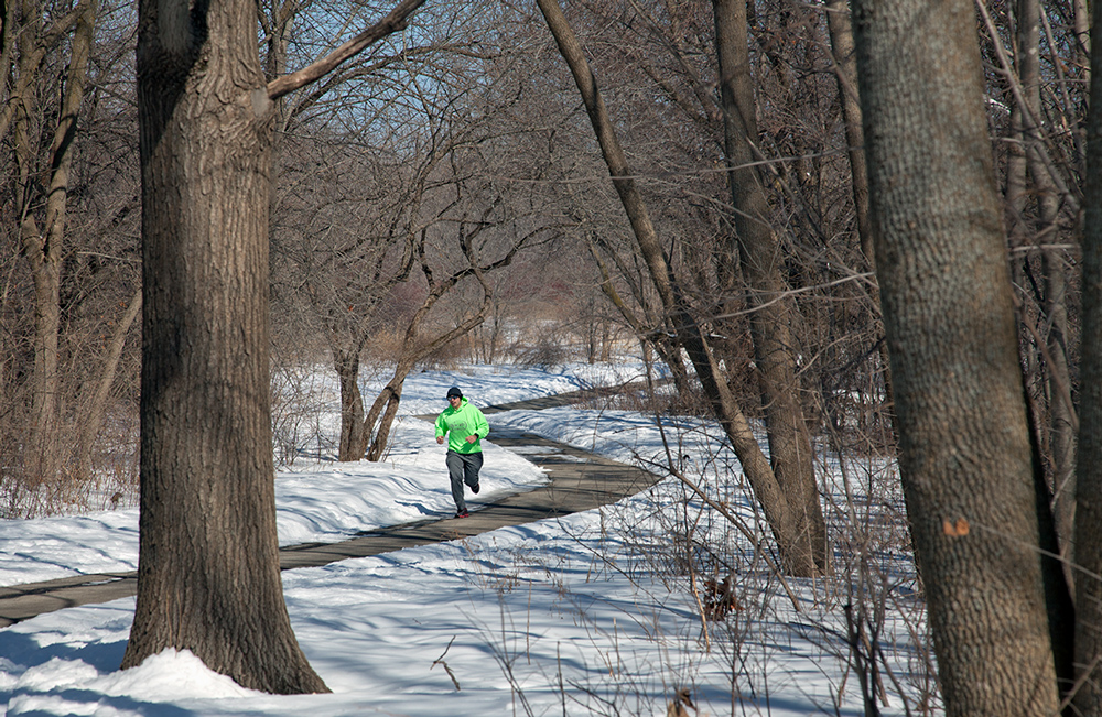
Jogger on Oak Leaf Trail, Warnimont Park
Warnimont Park (map)
Warnimont once was comprised of small farms and woodlands. In the 1940s and 50s, the Parks Department purchased the private homes. The owners were allowed to live out their lives, but then the land reverted to the public park. Unique ravines, woodlands, and pre-settlement fens were preserved.
In contrast to Sheridan Park, where the trail runs through sprawling lawns and picnic areas, in Warnimont the trail mostly runs through woodlands, meadows and along wooded ravines. It is a very popular destination for birders, especially during the migration seasons. At the north end of the park is an 18-hole, par 3 golf course and archery range. At the south end, a short connector trail allows access from the Oak Leaf Trail to the Kelly Senior Center.
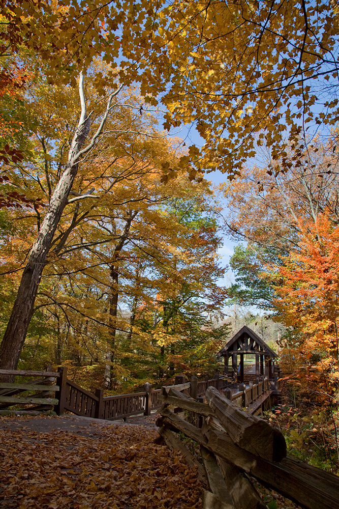
Seven Bridges Trail, Grant Park
Grant Park (map)
Continuing south, the Oak Leaf Trail skirts around Lake Shore Tower Apartments at College Avenue, before entering Grant Park. Grant, the second largest park in the system, is one of Milwaukee County’s truly great parks. The trail continues through woodlands, follows ravines and runs along the bluff overlooking Lake Michigan. The famous Seven Bridges Trail is another of the historic Civilian Conservation Corps projects. Strictly for walking, its many stairs and many bridge crossings—more than seven—lead down a narrow ravine to a beautiful beach. This is a unique destination and can be a stop along a leisurely ride or a separate visit.
Grant Park, established in 1910, is another historic park. The terrain is varied, allowing visitors to view the lake, the ravines, and woodlands, as well as an 18-hole golf course. At the south end of the park is a grand club house, the Fowle family homestead. The earliest settlers of the City of South Milwaukee, this family established a grist mill along the Oak Creek that can still be visited at the Mill Pond Falls. The old farmhouse is now the club house and offers refreshments and grilled sandwiches. Riders can also visit Grant Park Beach via a serpentine road at the very south end of the park, where you also will find Ferch’s ice cream shop and grill.
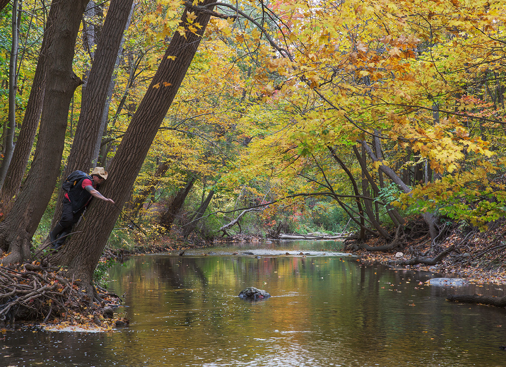
Fisherman, Oak Creek Parkway
Oak Creek Parkway (map)
After Grant Park, the Oak Leaf Trail leaves the lakeshore and follows Oak Creek Parkway to the west. Along this parkway there is a lovely waterfall and Mill Pond. The rider may continue west along a beautiful wooded parkway, but the segregated Oak Leaf Trail ends in Grant Park. As indicated above, the City of Oak Creek, south of the City of South Milwaukee, will one day provide another ribbon trail along the lake into Bender Park. This will add yet another pearl to our lovely “string of pearls” along the south shore of Lake Michigan. Enjoy the ride!
Patricia Jursik is a former Milwaukee County Supervisor and current Preserve Our Parks board member.
Eddee Daniel is a Preserve Our Parks board member and project director for A Wealth of Nature.