

Root River Parkway in Franklin
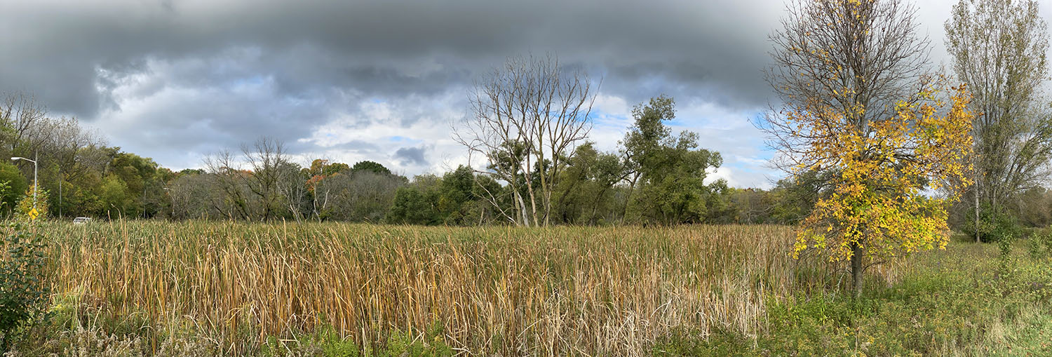
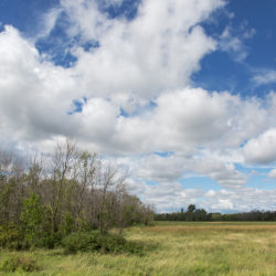
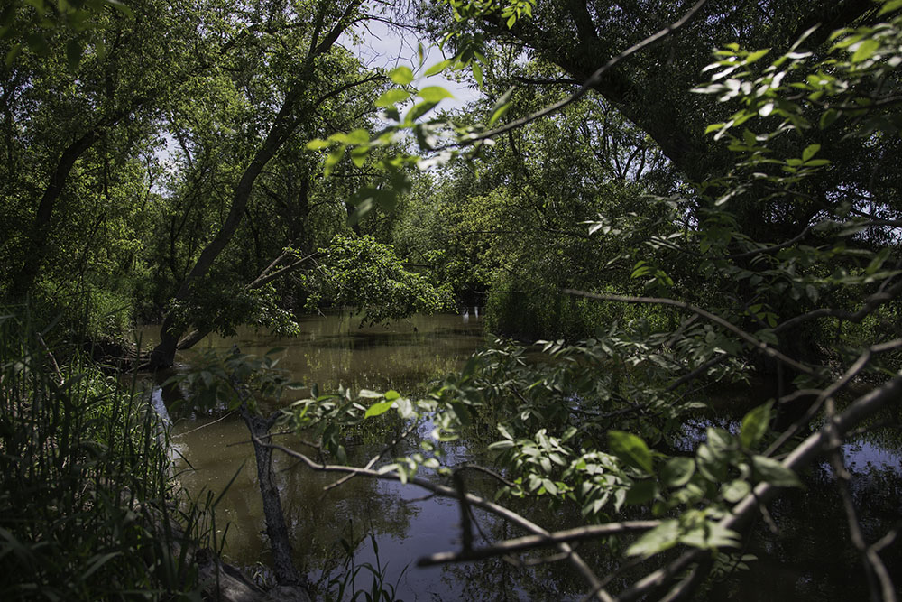
Wetland panorama on Root River Parkway in Greenfield
One of Milwaukee County’s premier parkways, the approximately 15-mile long stretch of greenway follows the Root River in three sections. The northwest section runs from Greenfield Park in West Allis, through Greenfield and Greendale, to Franklin. The south section is located entirely within the City of Franklin. The southeast section is located along the Milwaukee County line in the City of Oak Creek.
A long segment of the Oak Leaf Trail follows the parkway from Greenfield Park to Ryan Road, connecting the northwest and south sections of the parkway. A short segment of the Oak Leaf Trail runs west through agricultural fields from the Oak Creek Parkway to Howell Avenue.
Seven-acre Anderson Lake (an old quarry), located between Loomis Road and Rawson Avenue, is accessible from the Oak Leaf Trail. The rest of the trail traverses a diverse array of natural areas from upland forest to a variety of wetlands, grasslands and meadows.
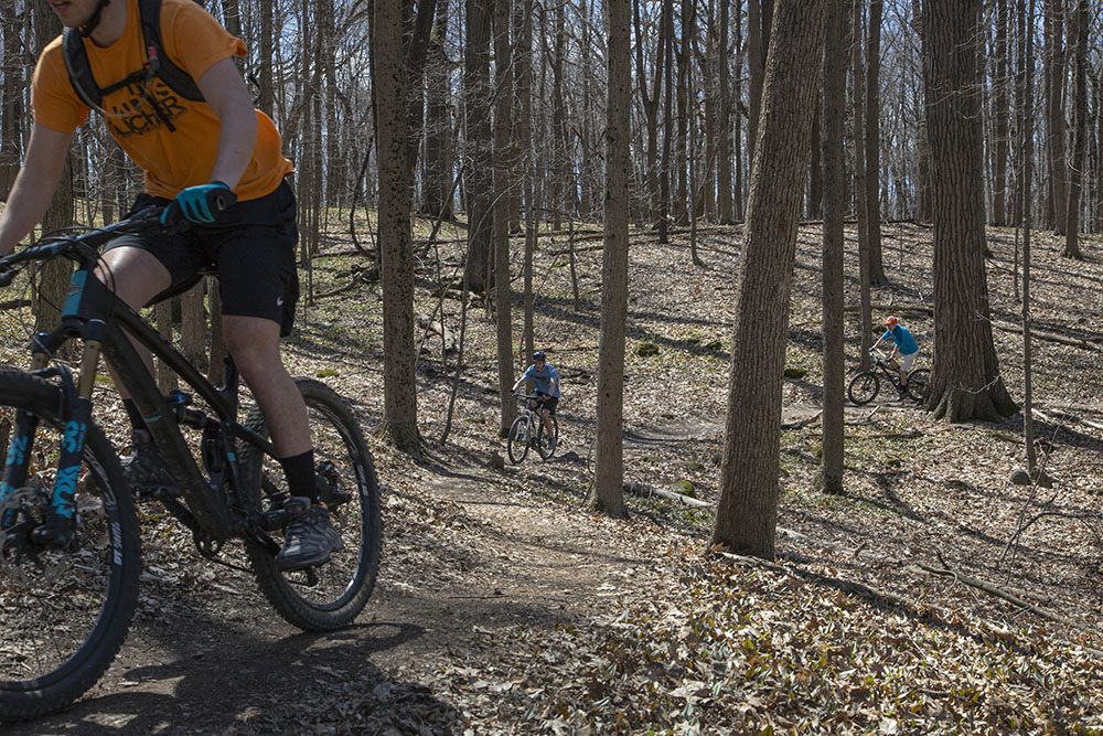
Mangan Woods, which contains some of the largest old-growth hardwoods in the Milwaukee County Park System, is nestled in a corner of the parkway between Whitnall Park and The Rock Sports Complex. In addition to hiking trails, Mangan contains the Kegel Alpha Mountain Bike Trail. It also is home to a number of rare plant and wildlife species and identified as an eBird hotspot. See also our Mangan Woods page.
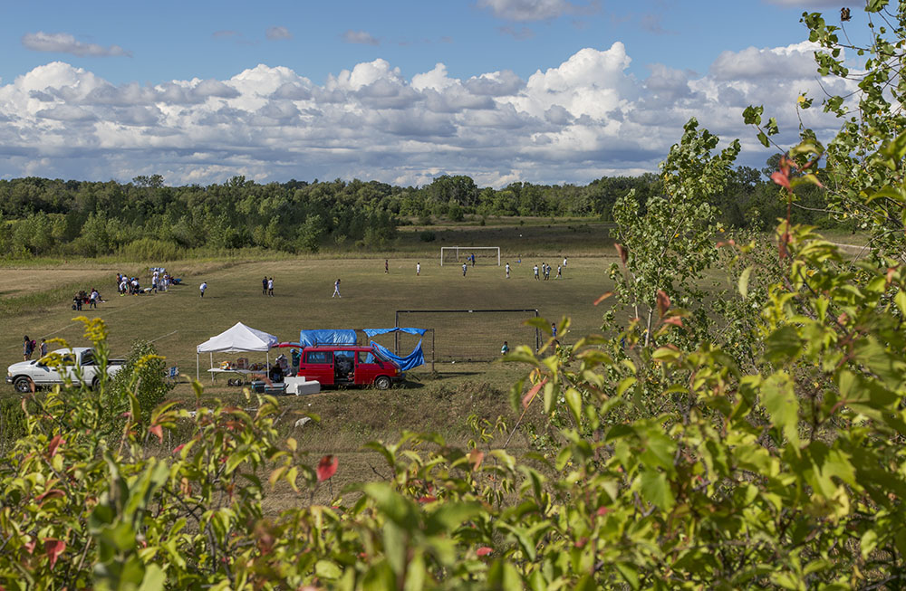
The Milwaukee County Sports Complex is located in the Root River Parkway off of Ryan Road in Franklin. The sports complex includes a 55,000-square-foot fieldhouse. Indoors there are courts for pickleball, volleyball, soccer, and basketball, open to the public October through April. There are rentable spaces year-round for meetings, large-scale events and exhibitions. Outside are athletic fields for rugby, football, lacrosse and soccer, as well as a disc golf course.
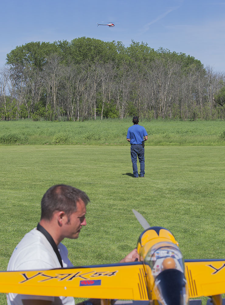
At the southern end of the Root River Parkway in Franklin there is a field used by the Rainbow Aero Modelers Society for flying model aircraft. Access is from W. Oakwood Road.
Mangan Woods maps:
For a Milwaukee County Parks hiking trail map click here.
For a MTB Project mountain bike trail map click here.
Story links:
Where is Milwaukee’s Remotest Point?
Mangan Woods: A surprising hidden gem shaped by the glaciers
Root River Parkway: Recreating Wilderness!
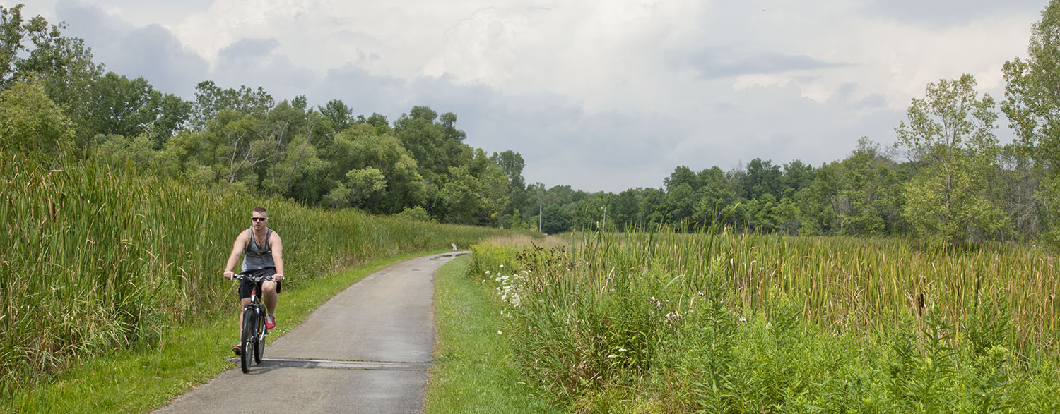
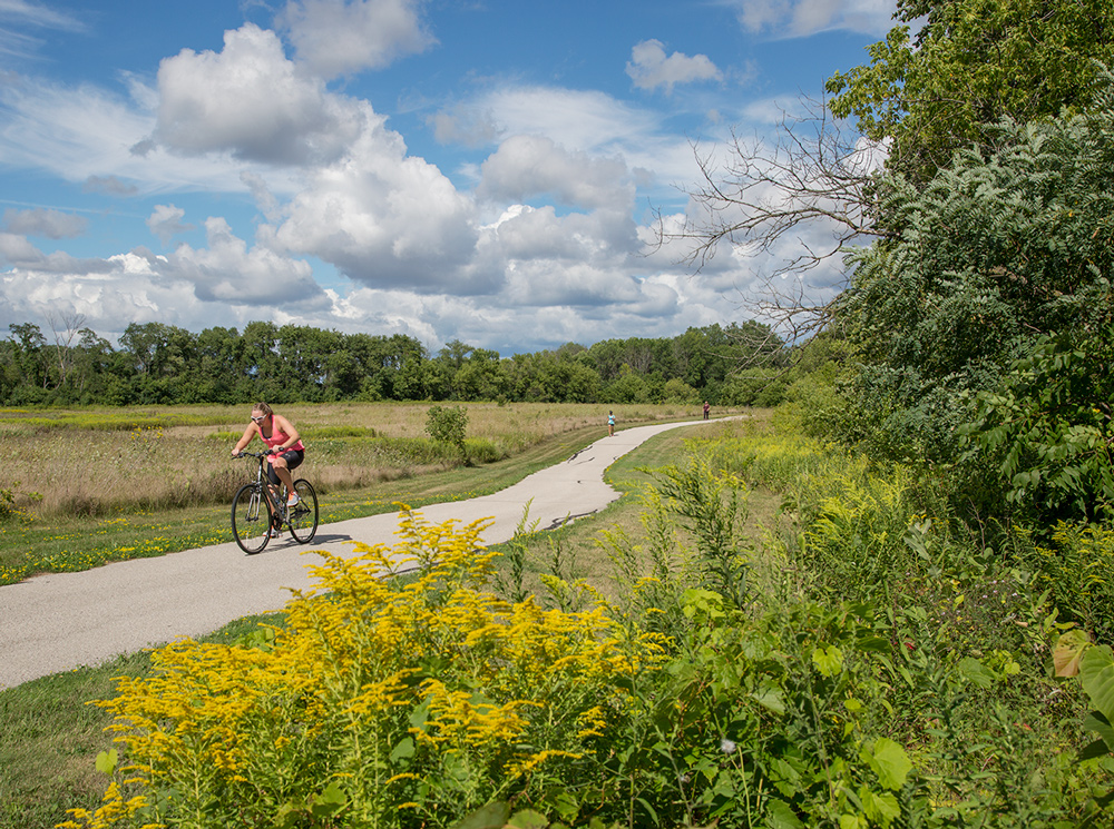
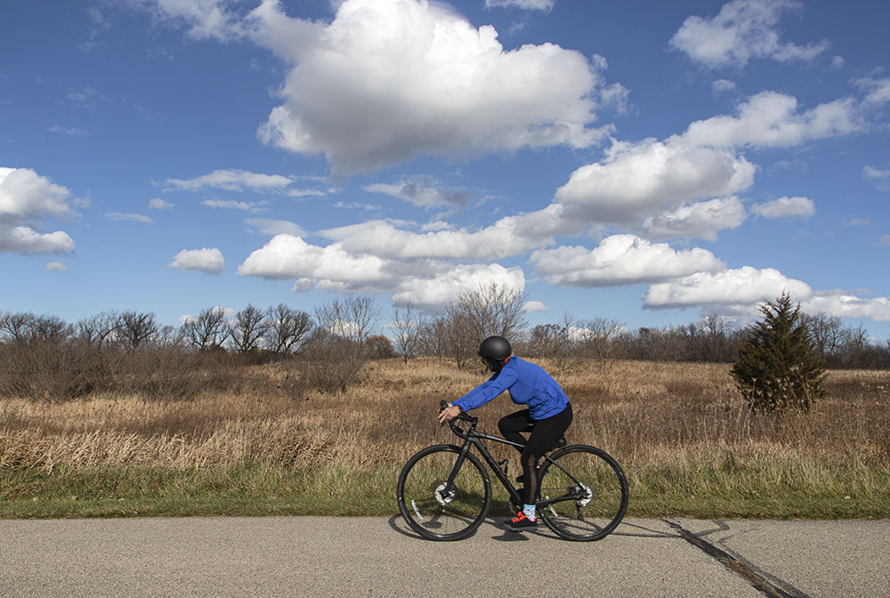
A cyclist on the Oak Leaf Trail in Greenfield
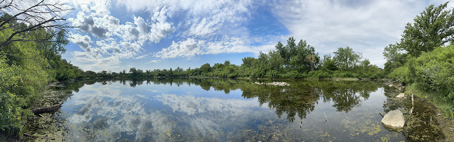
Anderson Lake Panorama
Gallery (click to enlarge)
-
- Oak Leaf Trail in Franklin
-
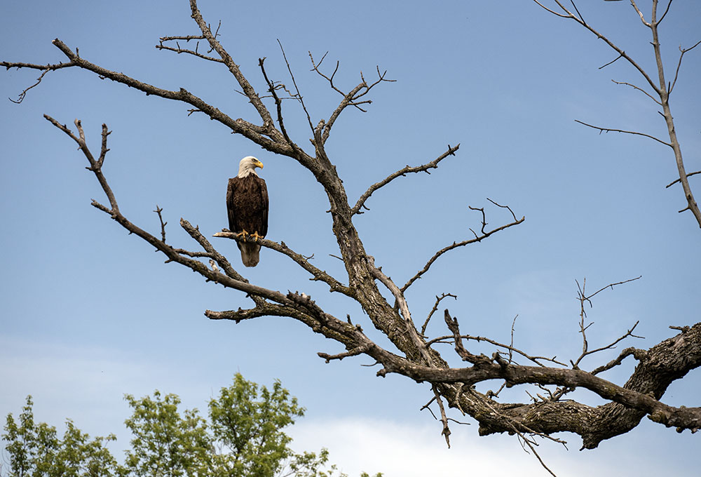
- Bald eagle near the County Line in Franklin
-
- South Section near county line

-
- South Section near County Sports Complex

-
- Oak Leaf Trail in Franklin
-

- Red Trillium, Mangan Woods

-
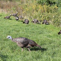
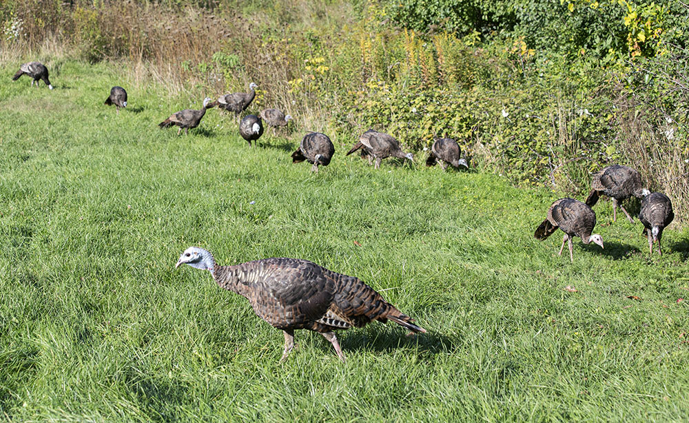
- A cool dozen wild turkeys
-
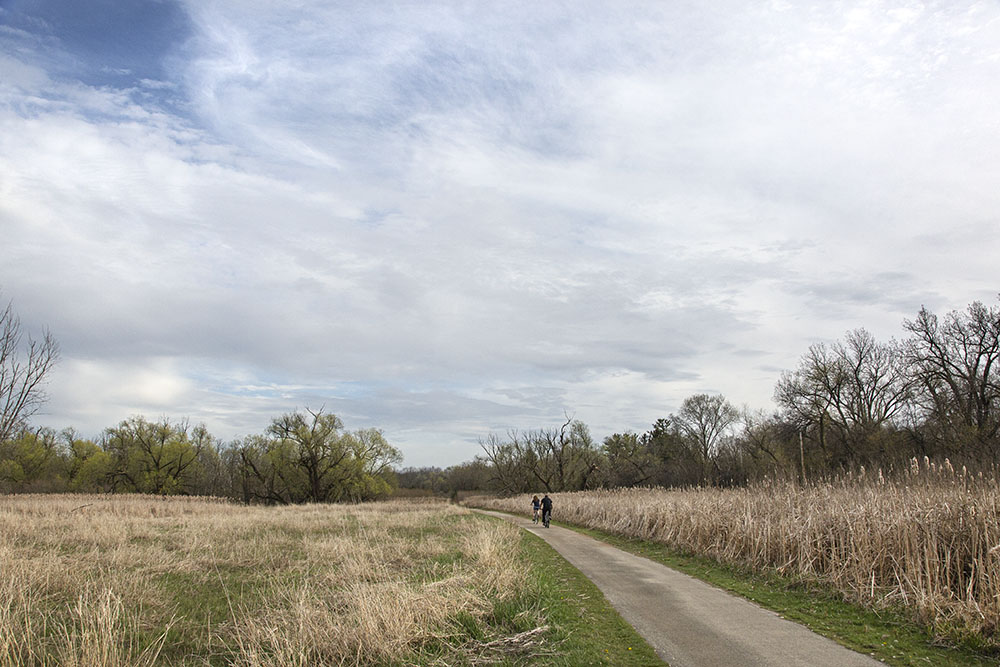
- Oak Leaf Trail in Greenfield
-
- South Section near Whitnall Park

-
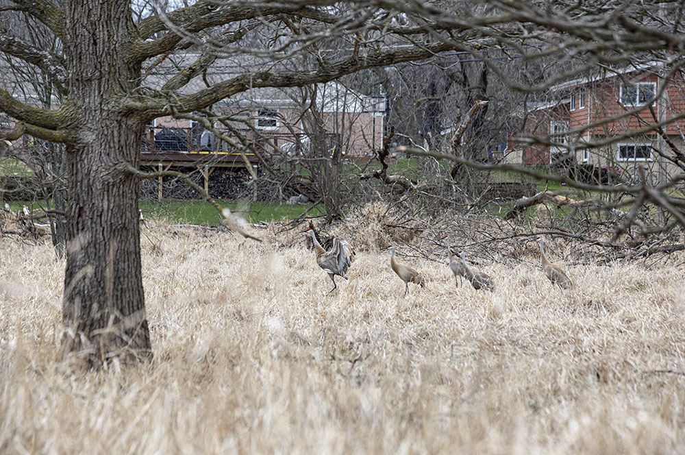
- A family of sandhill cranes
-
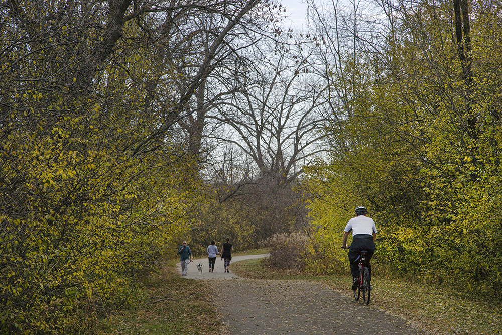
- Oak Leaf Trail in Franklin
-

- Greenfield wilderness
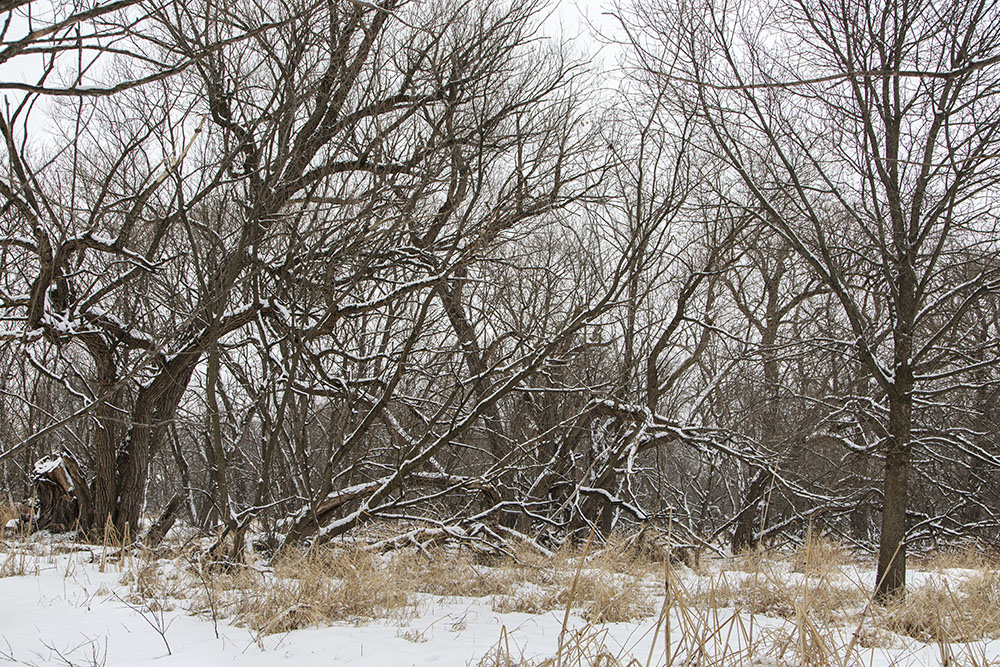
-

- Oak Leaf Trail in Greenfield

-
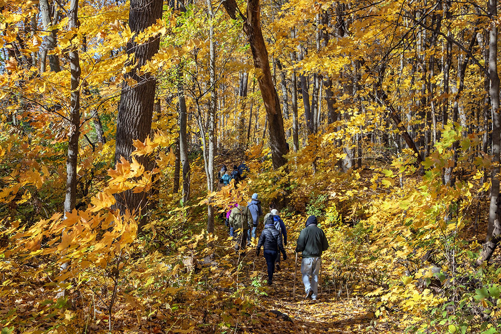
- Hiking in autumn, Mangan Woods
-
- Kegel Alpha Mountain Bike Trail
-
- Near Racine Co Line in Franklin
-
- Sports Complex in Franklin
-
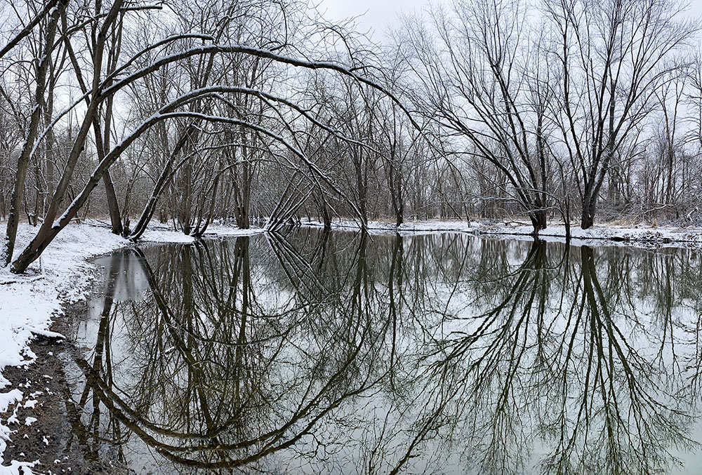
- Near Racine Co line in Oak Creek
-
- Model Airplane field in Franklin
-
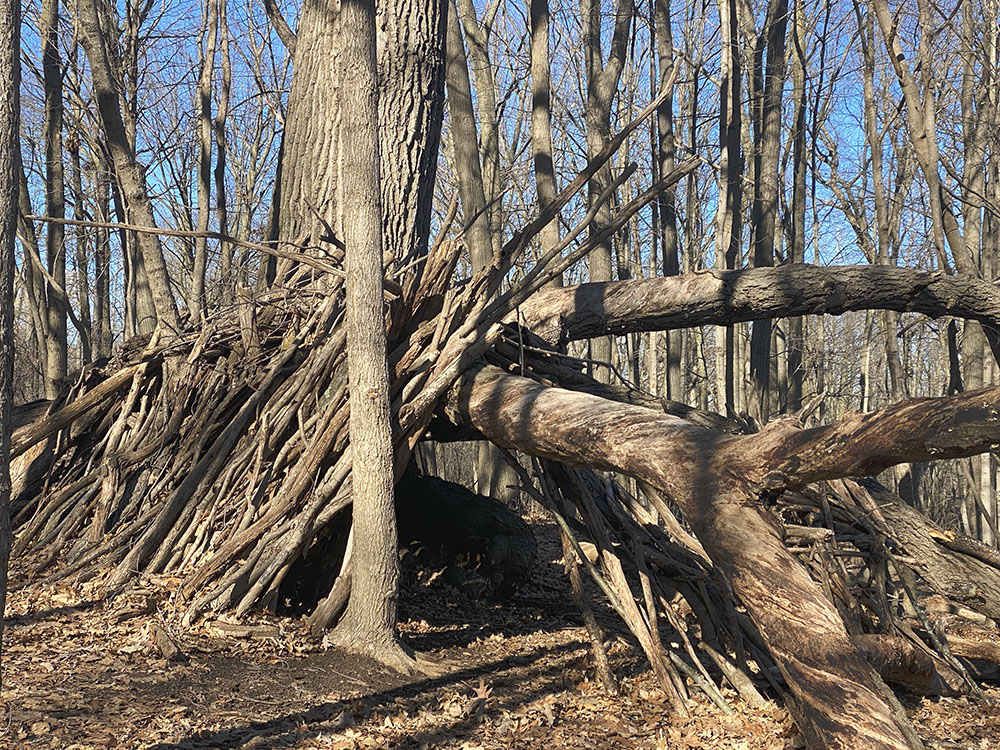
- Stick fort in Greendale
-
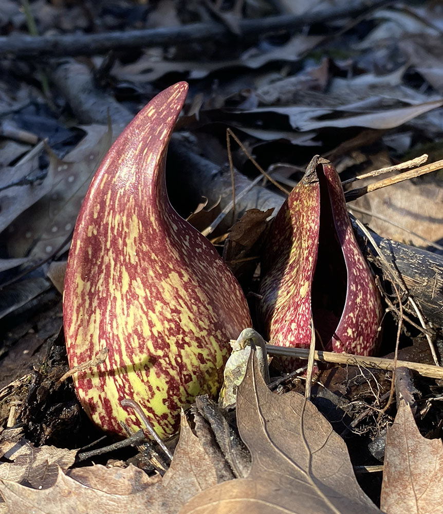
- Skunk Cabbage in Greendale
-
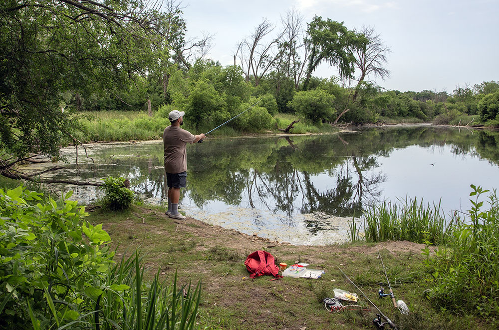
- Fishing the Parkway Pond
-
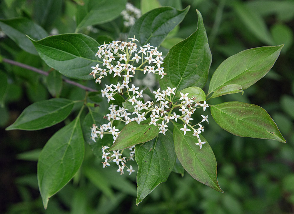
- Grey dogwood blossoms
-
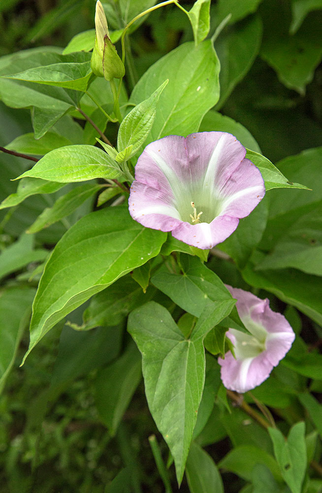
- Hedge bindweed in bloom
-
- Frozen creek 1

-
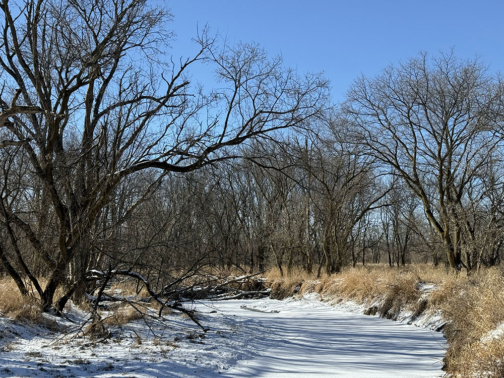
- Frozen creek 2
-
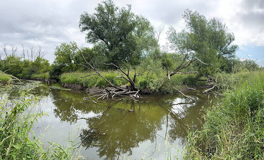
- Oxbow
-
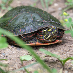
- Painted turtle

-
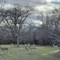
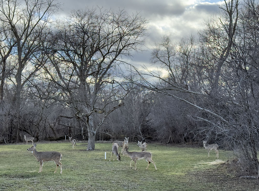
- Nine nonchalant deer
-
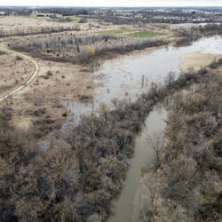
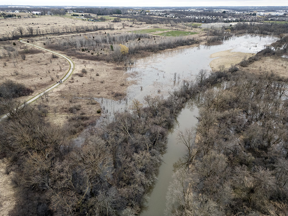
- Spring flooding near Sports Complex
-
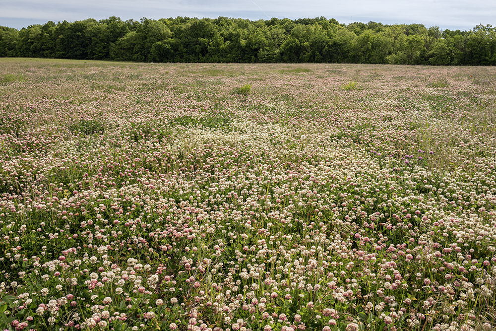
- Former farm field being restored to prairie
-
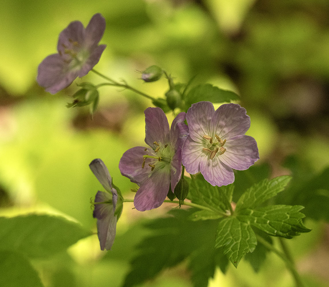
- Wild geraniums
-
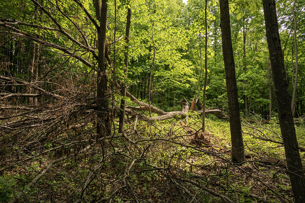
- Fallen giant in county line forest
-
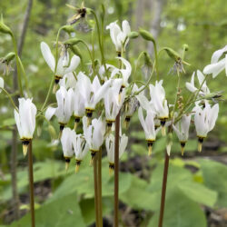
- Shoot star blossoms
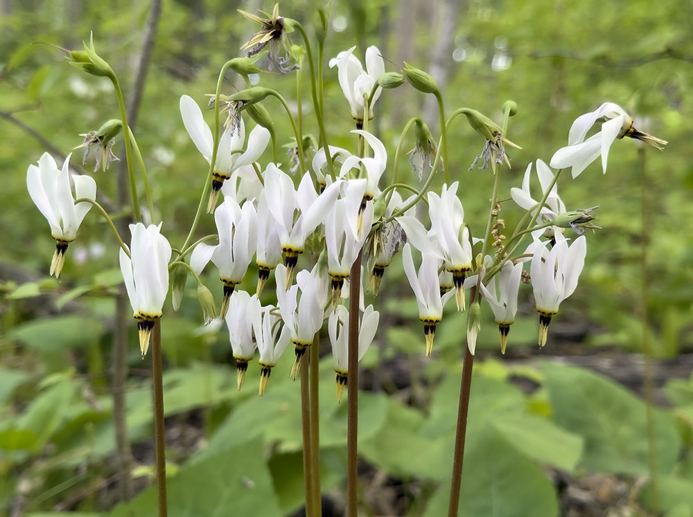
-
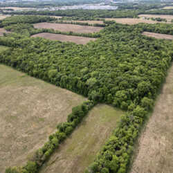
- Patchwork forest. Some of Root River Parkway remains agricultural
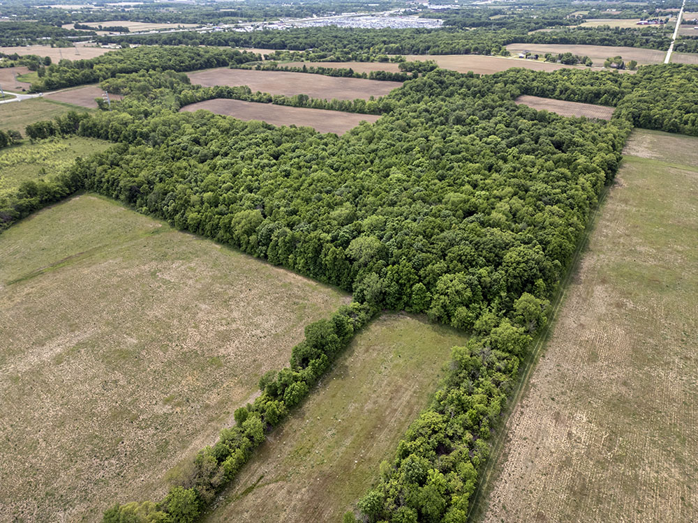
-
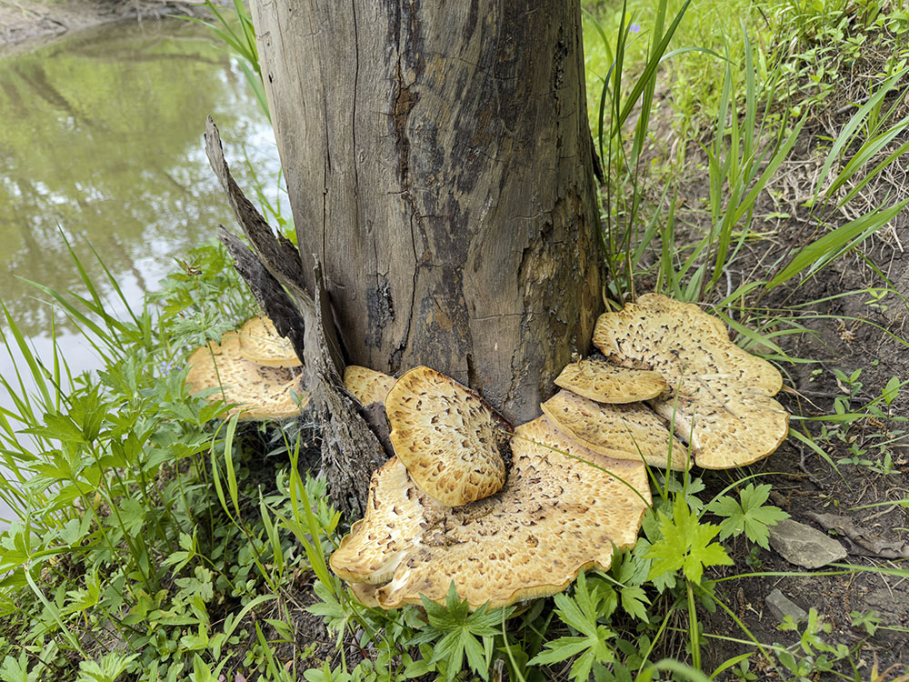
- Large pheasant back mushrooms
-
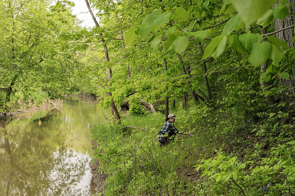
- Park naturalist at Root River near county line
-
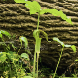
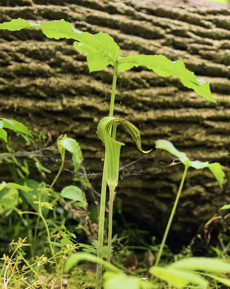
- Jack in the pulpit
-
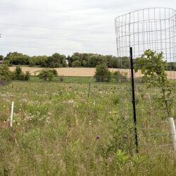
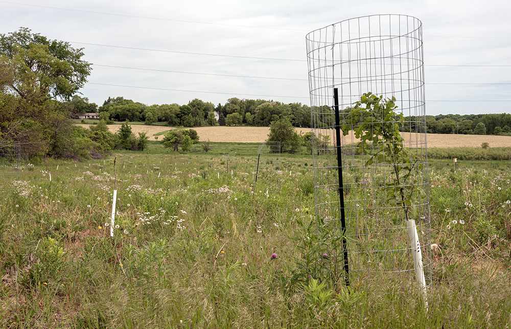
- Future forest being restored from farm field
-
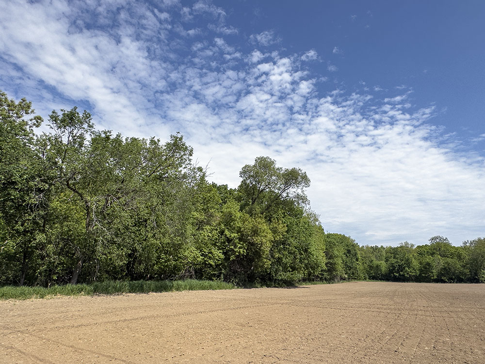
- Edge of forest and farm field at county line
-
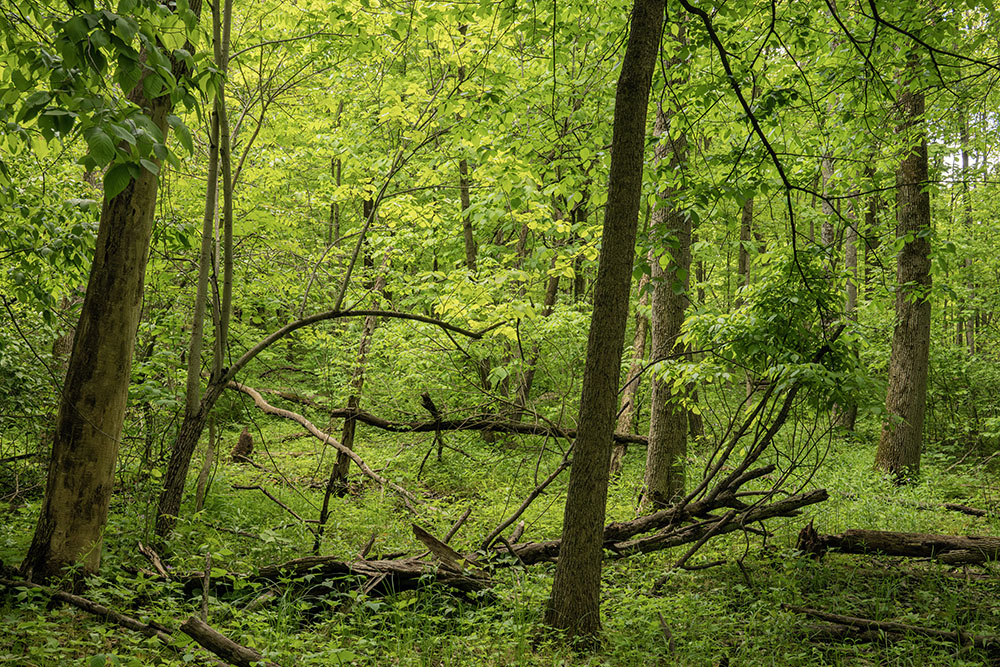
- Forest primeval
Address
6000 W Ryan Rd53132, Franklin, wi, US