Touring restoration sites on the Milwaukee River in Ozaukee County
January 6, 2020 | Topics: Events, Places
Ozaukee County Planning and Parks Department, with an introduction and photography by Eddee Daniel
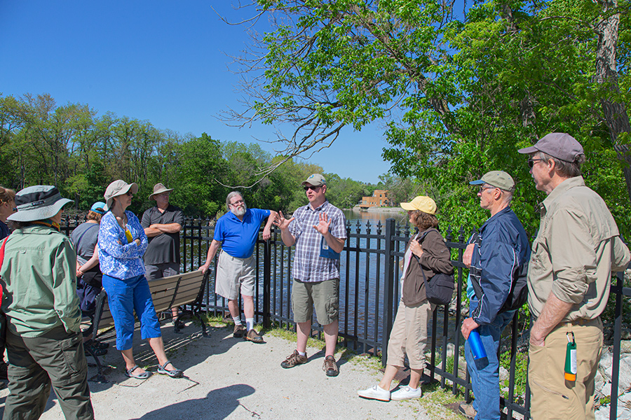
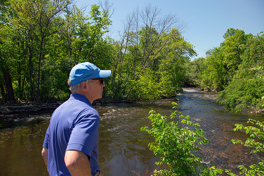
Despite the current controversy surrounding a fish passage proposal for the Kletzsch Park Dam, the concept of a fish passage is itself not controversial. In fact, numerous successful restoration projects have been completed on the Milwaukee River both upstream and down from Kletzsch. On June 7, 2019, I attended a tour co-sponsored by the Natural Resources Foundation and Ozaukee County Planning and Parks Department. We visited four sites in Ozaukee County where restoration projects have either been completed or are still in progress. I want to thank the Ozaukee County Planning and Parks Department for providing the commentary to go along with my photos of the tour. ~ ED.
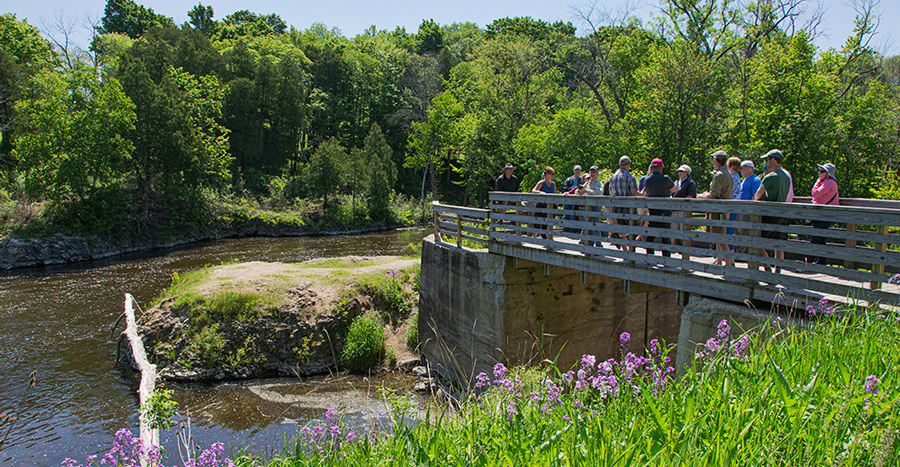
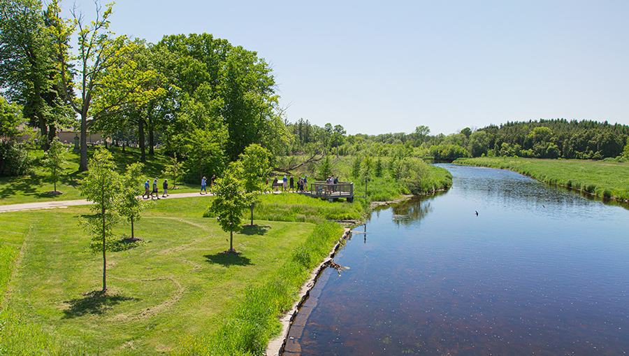
Mequon-Thiensville Fishway, Thiensville Village Park
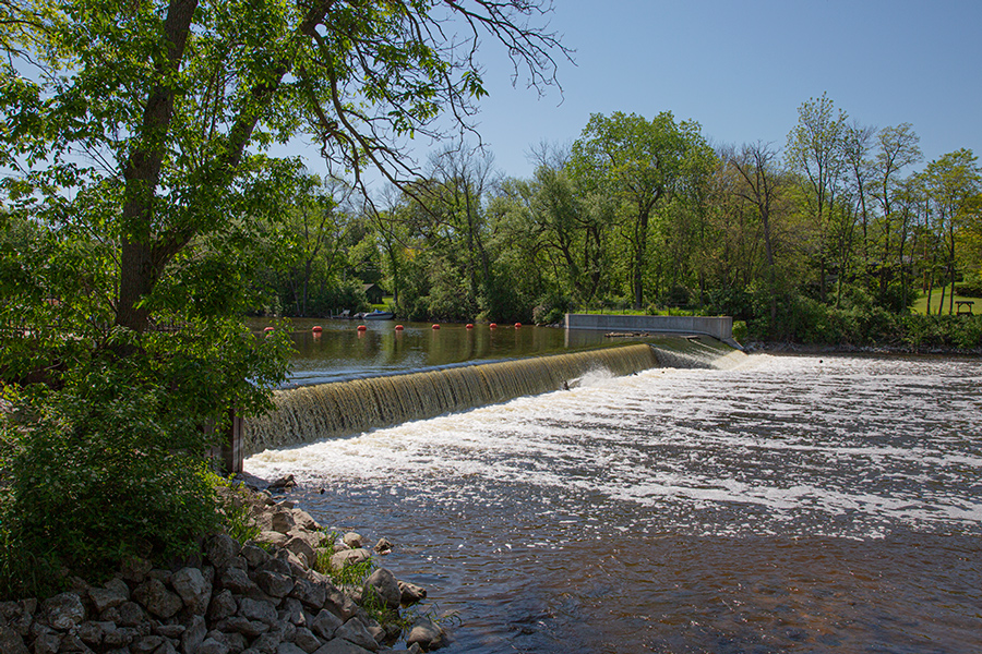
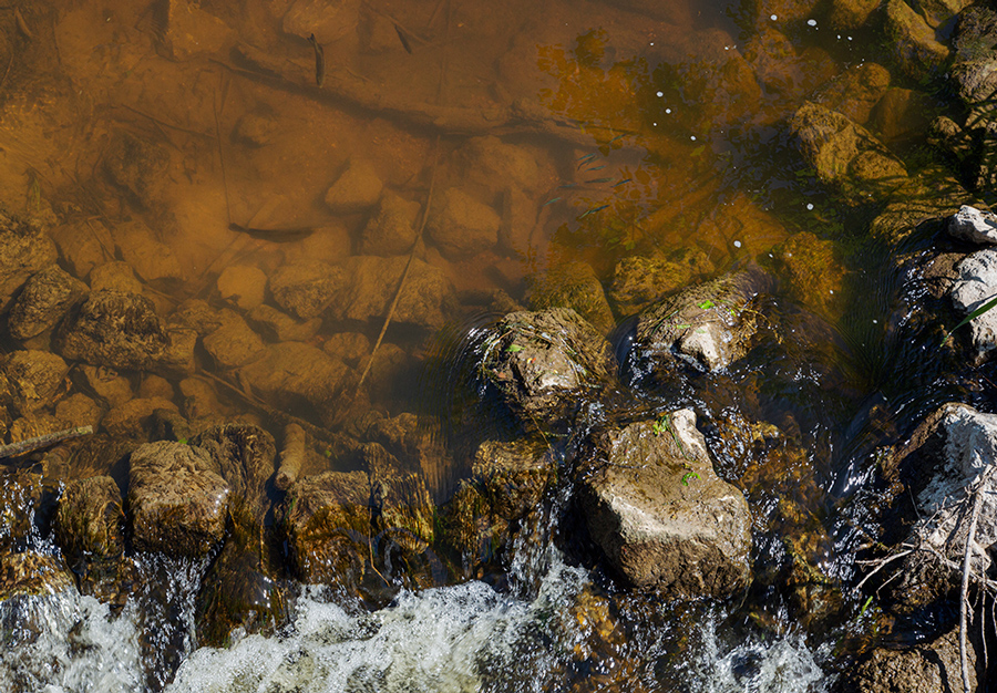
Located between Village Park and downtown Thiensville, the Mequon-Thiensville Fishway is adjacent to the scenic Rotary Riverwalk. In 2009-2010, the Ozaukee County Planning and Parks Department partnered with the City of Mequon, Village of Thiensville, WDNR, U.S. Fish and Wildlife Service (USFWS), and others to construct a nature-like fishway in the former millrace adjacent to the Mequon-Thiensville Dam. Using a series of pools (resting areas), runs, and riffles in an 800-linear-foot meandering stream channel, fish and other aquatic animals use the fishway to navigate upstream past the 6.5-foot-high dam.
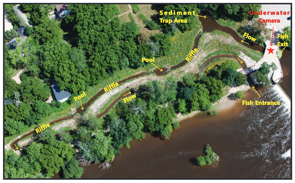
The fishway entrance is located downstream of the north dam abutment and exits immediately upstream of the dam impoundment. The fishway is located at Milwaukee River mile 20 and restored fish passage to an additional 12 miles on the mainstem Milwaukee River and several tributary streams.
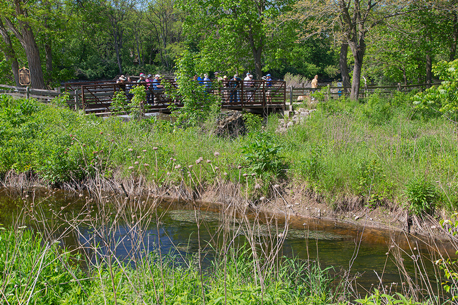
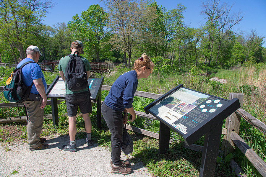
In 2011, the USFWS, Village of Thiensville, and Ozaukee County installed an underwater live streaming camera and tag readers (for fish with passive integrated transponder PIT tags). Reviewing the camera footage and tag readers has indicated the successful passage of thousands of fish from dozens of species as well as animal species such as turtles, beavers, muskrats, and river otters. Streaming live video from the fishway camera can be viewed at www.ozaukeefishway.org. An extension of the riverwalk was constructed around the fishway for visitors to enjoy the local natural setting, including views of wildlife. It also serves as a unique location for photographers and artists.
More information and images on Ozaukee County website.
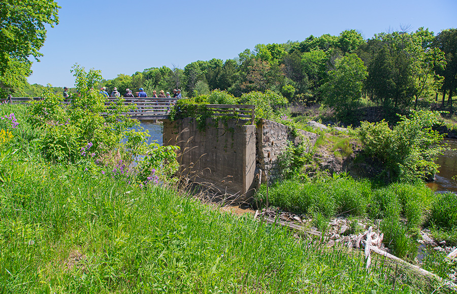
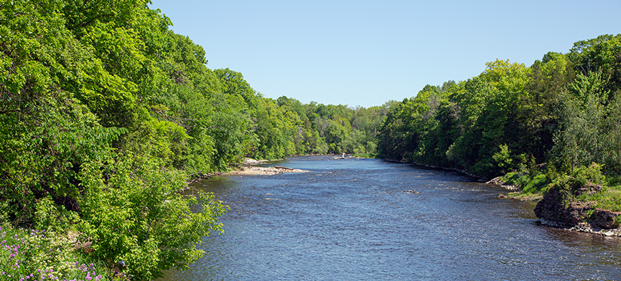
Lime Kiln Dam Removal, Lime Kiln Park
The Lime Kiln Dam on the Milwaukee River was removed in 2010 by the Ozaukee County Planning and Parks Department and Ozaukee County Highway Department in cooperation with the Village of Grafton. The dam was located at Milwaukee River mile 32 and restored access to high quality, in-stream habitat for Lake Sturgeon and other fish and wildlife. Multiple restoration activities improved both the newly connected upstream habitat and public access to the Milwaukee River. These activities included sediment and bank stabilization, native seeding and tree planting and construction of a wooden pedestrian bridge over the old raceway.
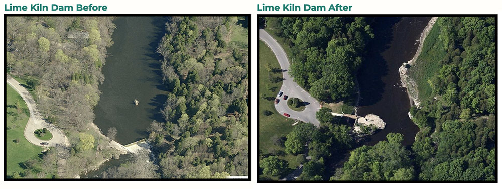
Fish community surveys by Ozaukee County have shown an improvement to the recreational fishery in this location, with a diverse array of species captured and improved numbers of greater redhorse (a Wisconsin threatened species) and smallmouth bass.
More information and images on Ozaukee County website.
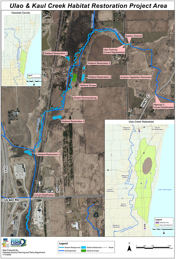
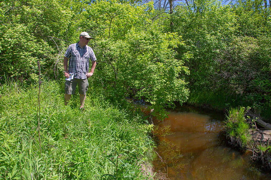
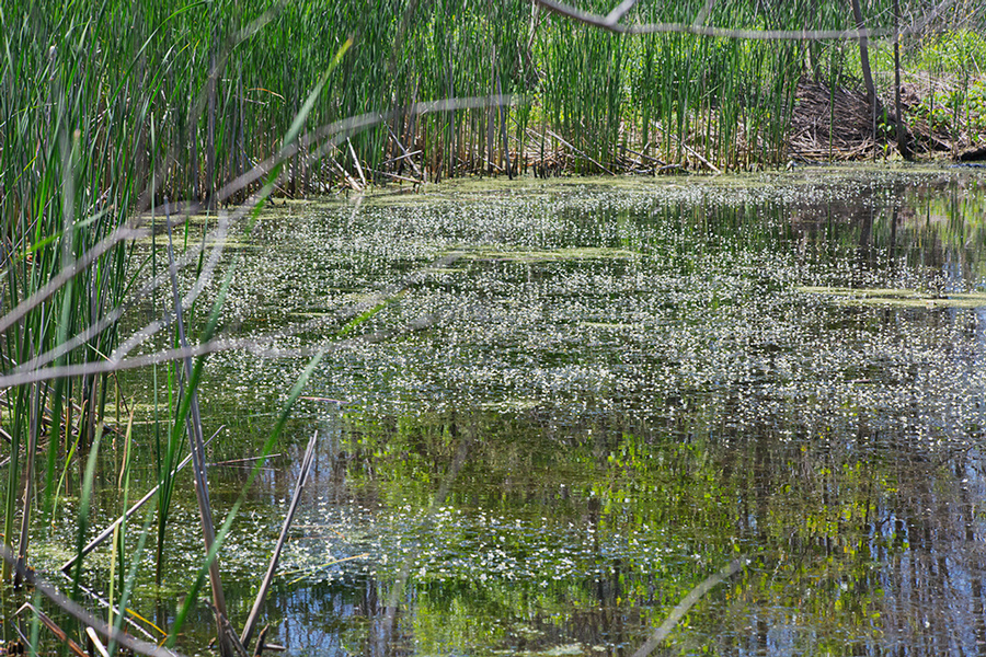
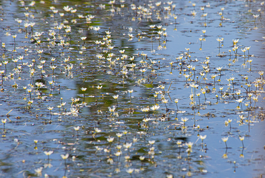
Ulao Creek Habitat Restoration Project
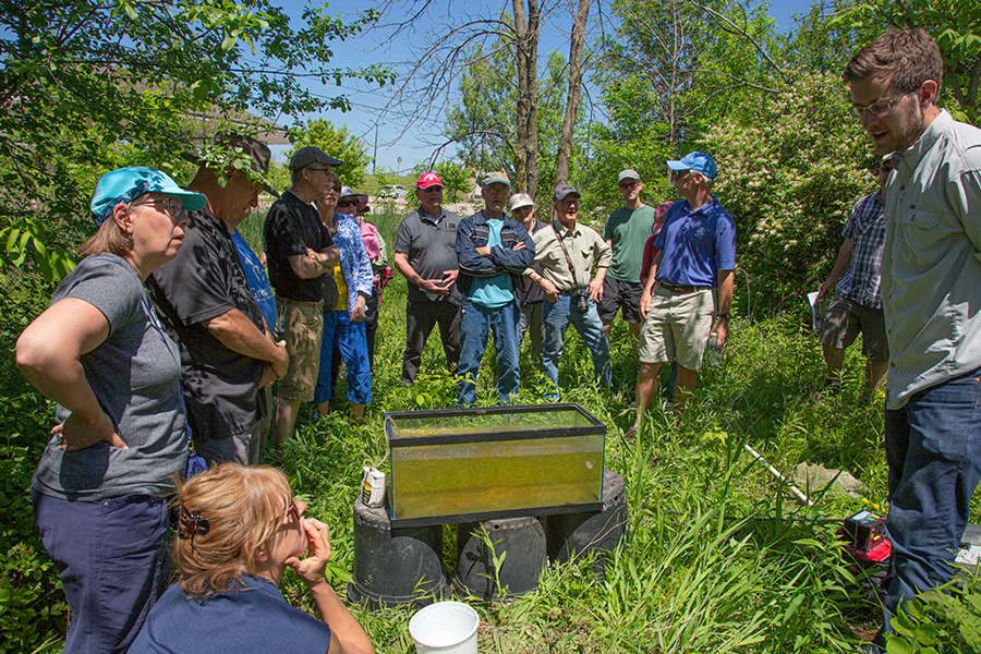
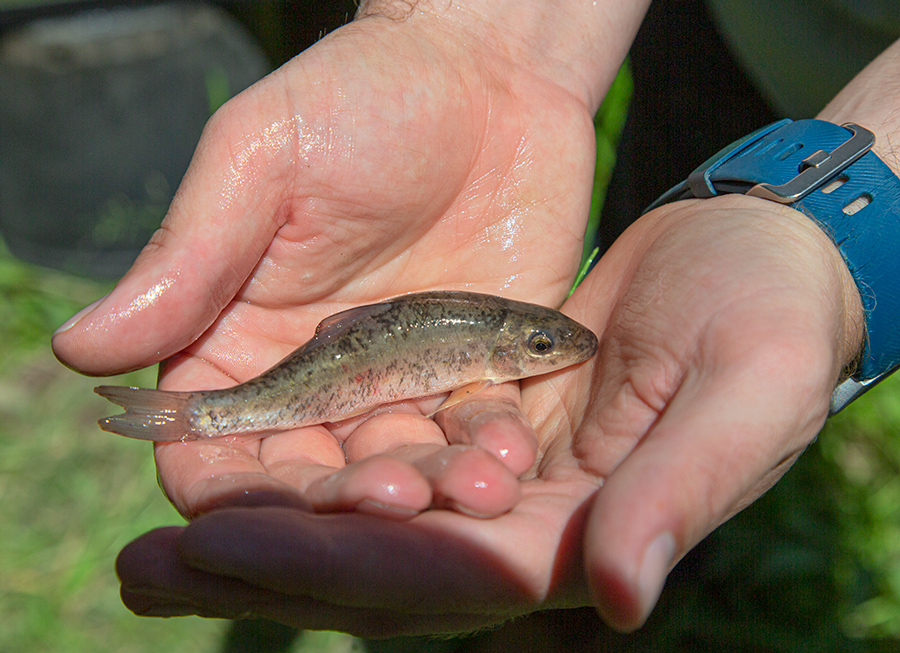
Large portions of Ulao Creek were previously dredged and artificially straightened and channelized for agricultural purposes, isolating the creek from adjacent wetlands and floodplains and providing poor instream habitat for fish. The Ozaukee County Planning and Parks Department partnered with the Ulao Creek Partnership, multiple landowners and other stakeholders beginning in 2014 to complete a large-scale fish and wildlife restoration project that included channel re-meandering, installation of fish and wildlife habitat structures, creation and enhancement of wetlands, floodplain reconnection, invasive vegetation management removal, and native seeding and tree planting. The numerous ephemeral and intermittent tributaries along with the restored wetlands and floodplains has successfully served as breeding grounds for native fish, such as the northern pike, and migratory waterfowl.
More information and images on Ozaukee County website.
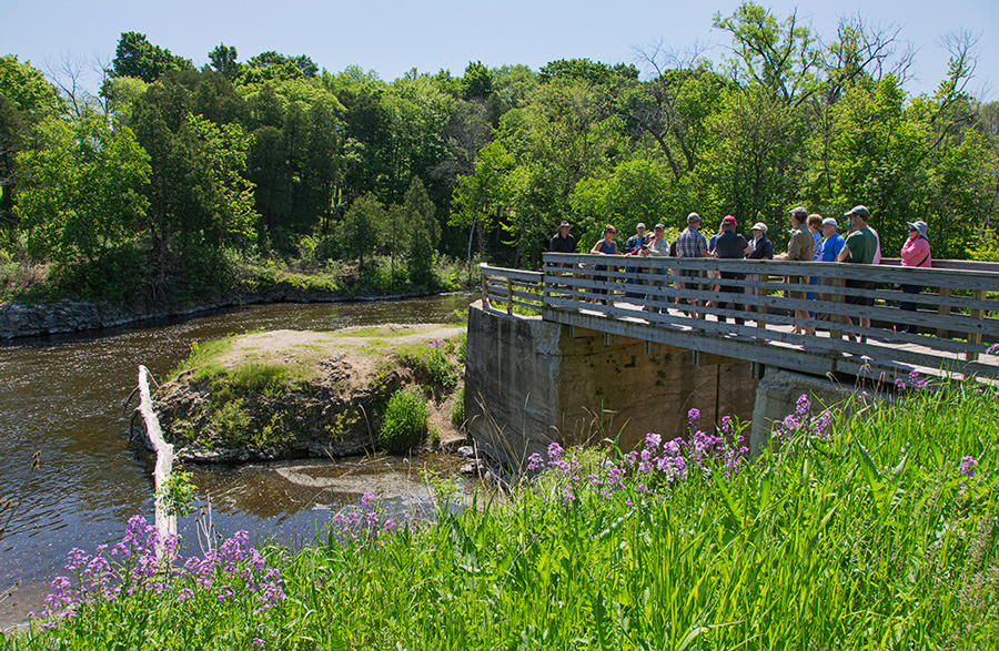
Newburg Dam Removal
In 2012, the Ozaukee County Planning and Parks Department partnered with the Village of Newburg to remove the Newburg Dam, located on the Milwaukee River south of Main Street. The dam removal and river restoration project reconnected 37 mainstream river miles from the Bridge Street Dam in Grafton to the Barton Dam in West Bend and restored access to a total of 46 miles of instream habitat in the Milwaukee River and tributary streams.
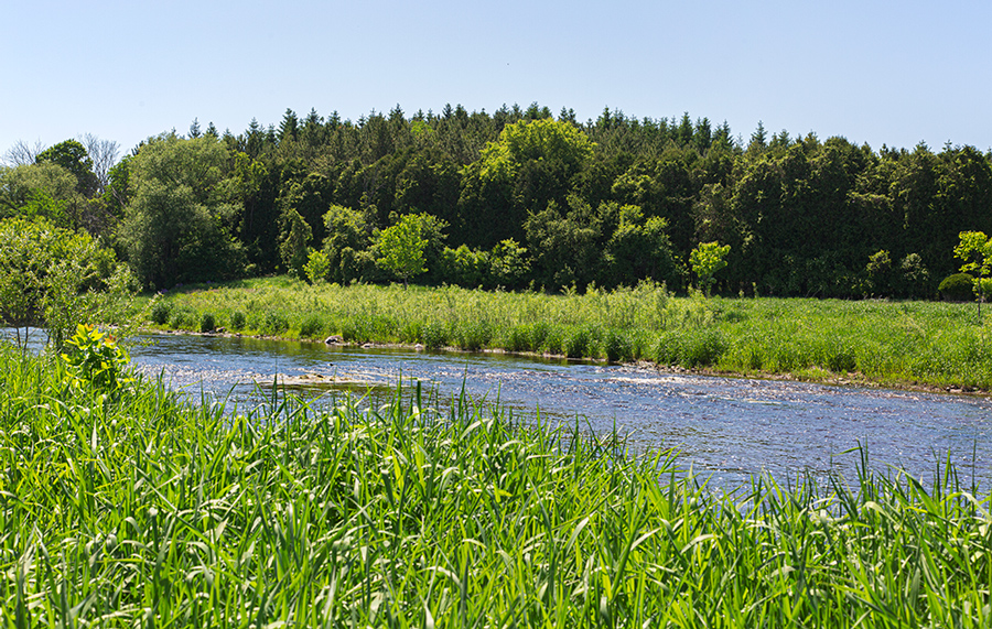
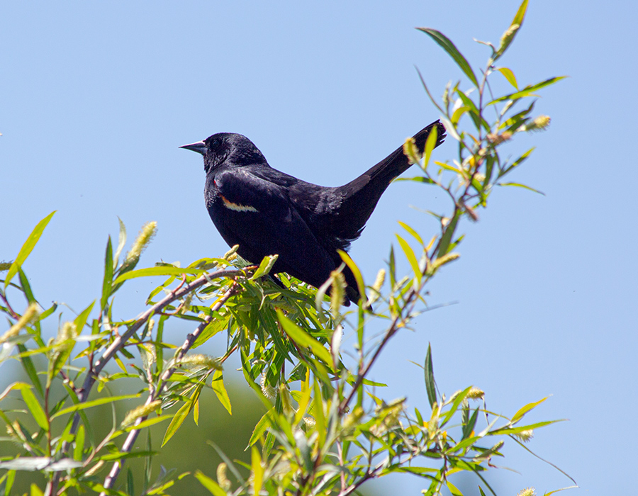
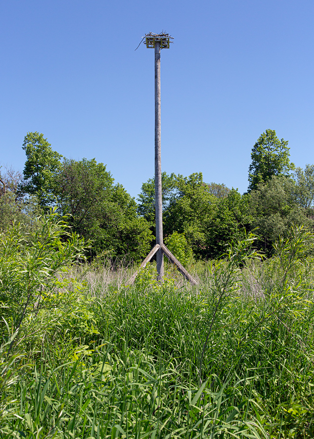
Removal of the dam improved the local fisheries, by allowing passage to previously inaccessible reaches, and restored habitat access for multiple threatened and endangered species, including the state threatened greater redhorse, which has been found immediately downstream of the former dam. Sediment behind the dam was removed to prevent excess sedimentation downstream and riverbanks were stabilized through bank armoring, native seeding and tree planting. Amenities to visitors include an observation deck, multi-use trail, and canoe/kayak launch. Fishing and birding are also popular activities at this location.
More information and images on Ozaukee County website.
The Natural Resources Foundation and Ozaukee County Planning and Parks Department are project partners of A Wealth of Nature. Eddee Daniel is the Project Director.