Little Menomonee River Parkway in Milwaukee
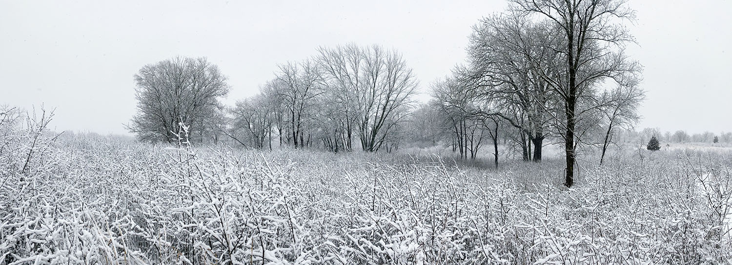
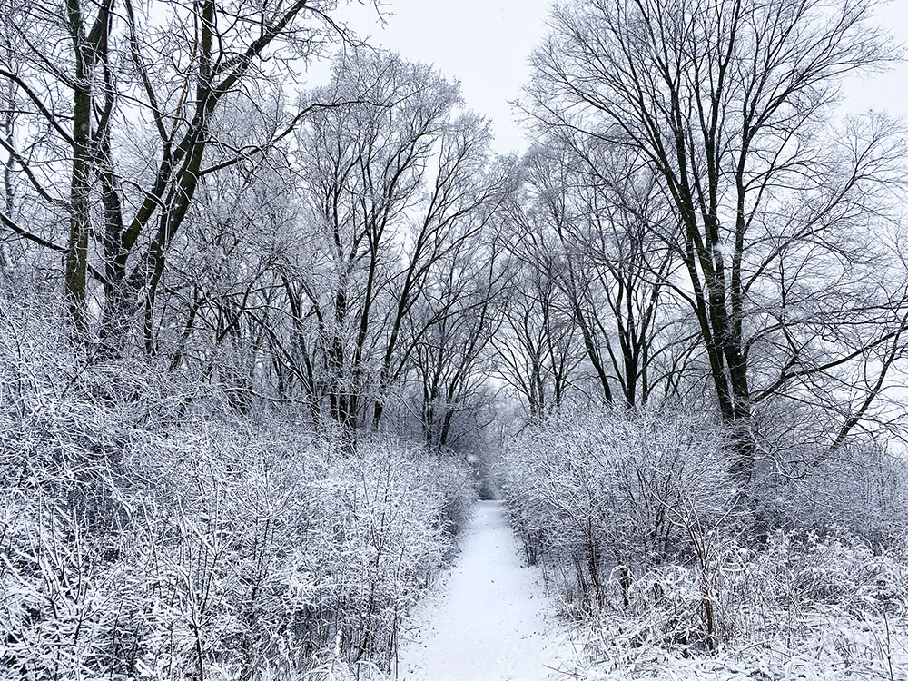
The Forked Aster Trail in winter.
With over 868 acres, the approximately 6-mile long stretch of greenway following the Little Menomonee River is the second largest property in the Milwaukee County Parks System (after the Root River Parkway). The parkway is continuous from Hampton Avenue to Bradley Road and the Oak Leaf Trail runs that length as well. North of Bradley Road are two discontinuous parcels of the Parkway with limited access. The Oak Leaf Trail connects to the Menomonee, making it one of the longest continuously green stretches of the Trail.
A segment of the Forked Aster Trail System can be found in the section between Appleton Avenue and W. Mill Road. The trail head is behind the archery range.
There is a playground at the Green Tree Road entrance to the Parkway. There are no other amenities.
Links: Forked Aster Trail map.
Little Menomonee River Parkway map.
Gallery (click to enlarge)
-

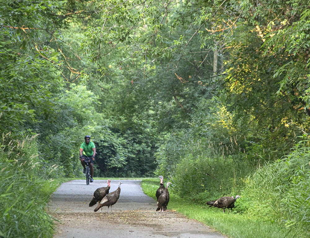
- Wild turkeys on Oak Leaf Trail
-
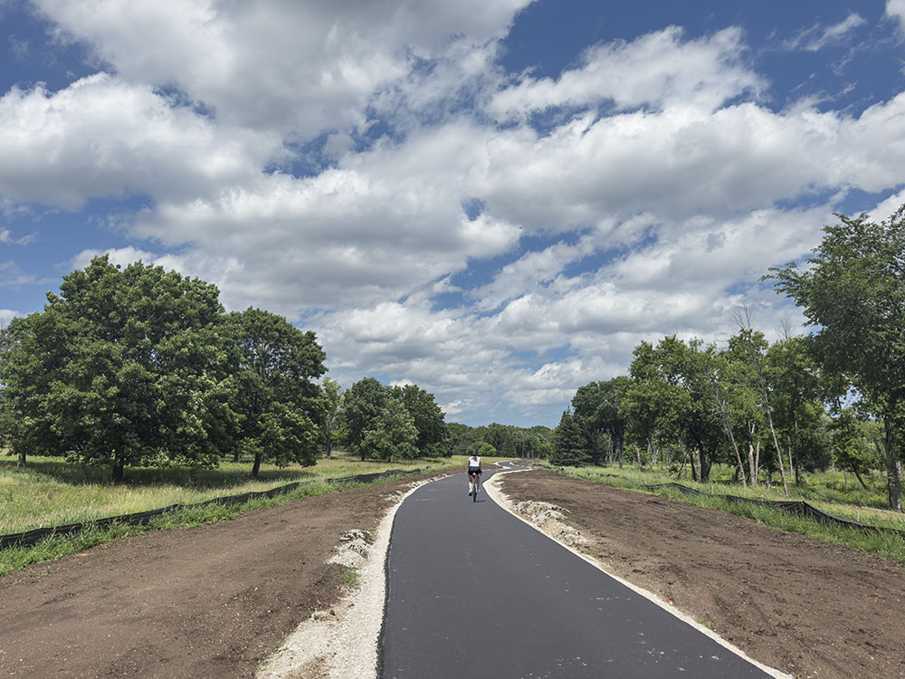
- Oak Leaf Trail newly converted from roadway
-
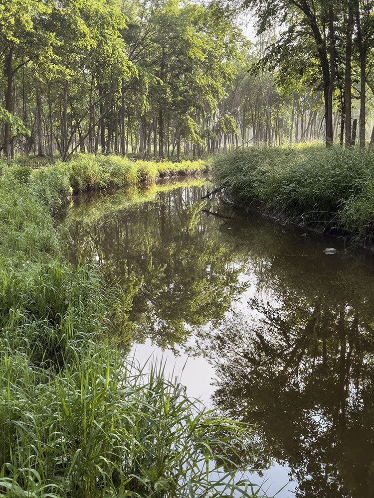
- Sunrise on the river
-
- Northern catalpa flowers

-
- The confluence of the Little Menomone and Menomonee Rivers

-
- Forked Aster Trail
-
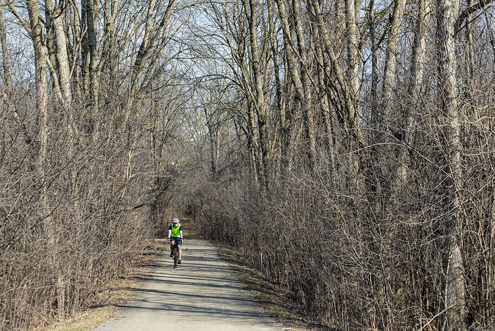
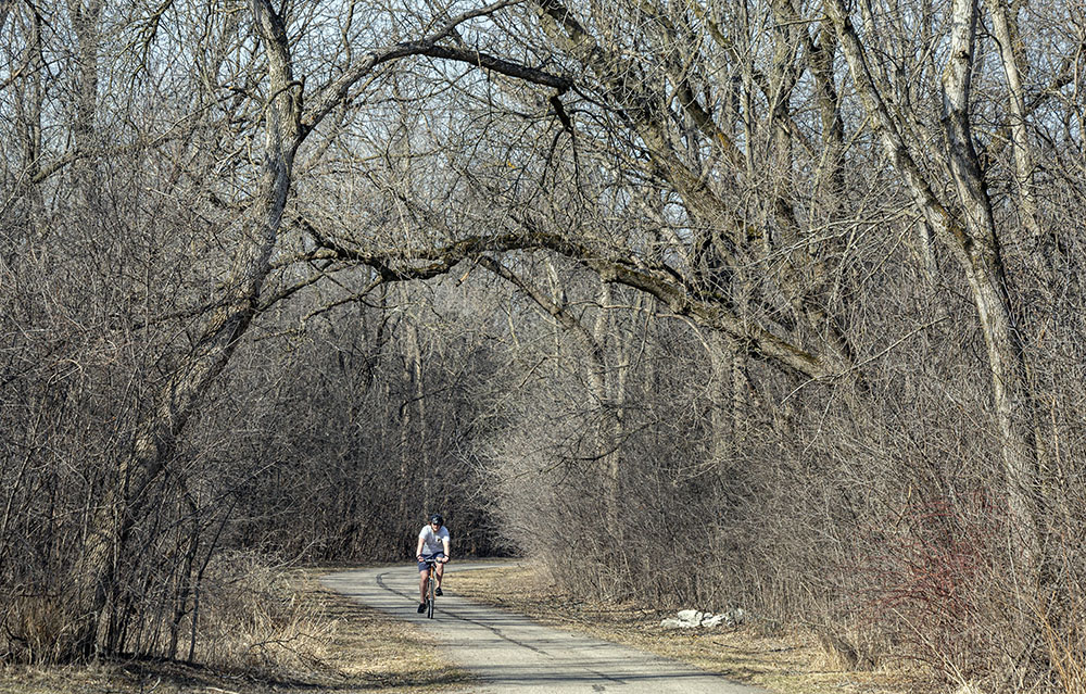
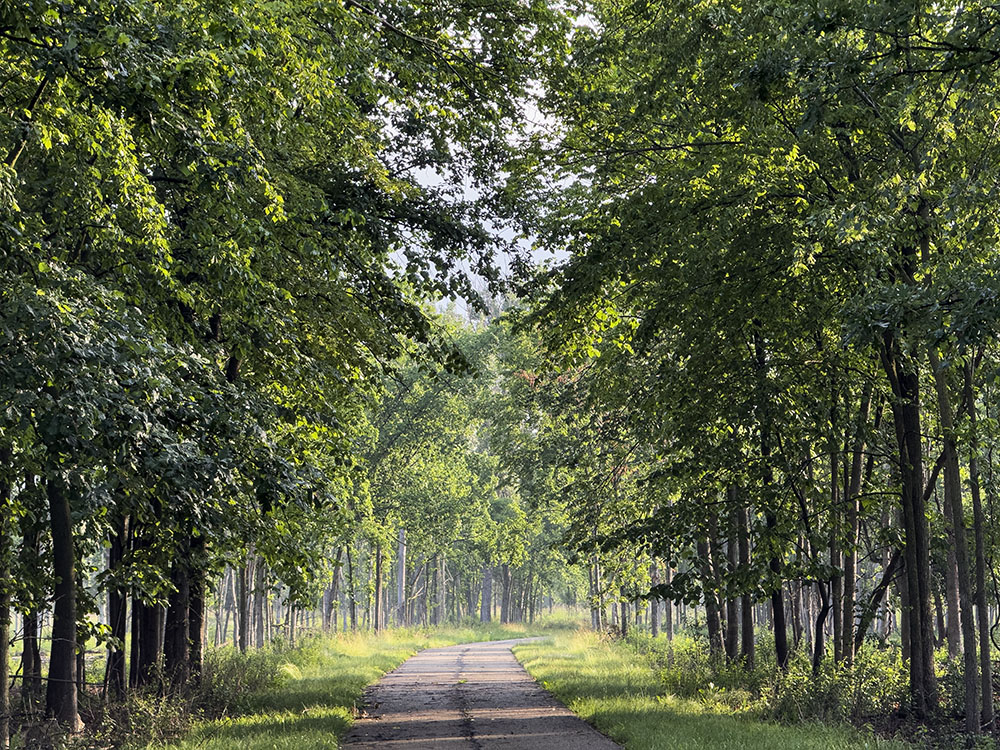
- Oak Leaf Trail
-
- Ironweed blossoms

-
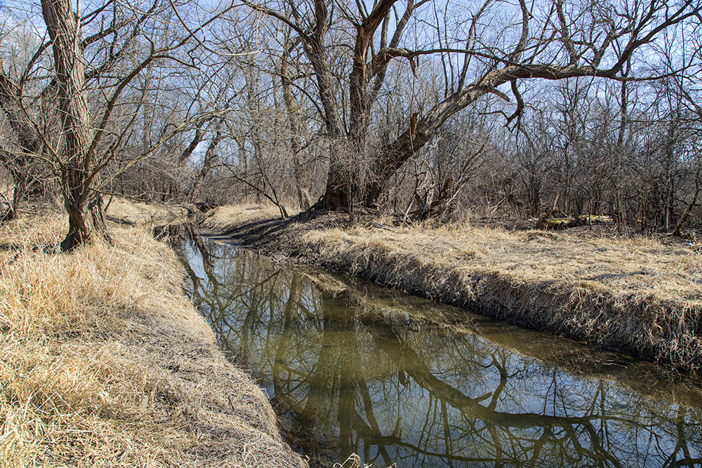
- The river at Appleton Ave

-
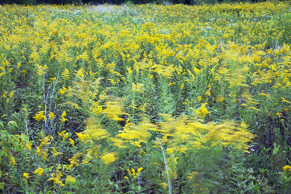
- A field of Goldenrod
-
- Oak Leaf Trail
-
- The river at Silver Spring Dr
-
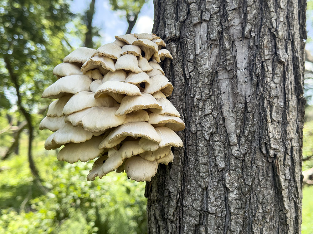
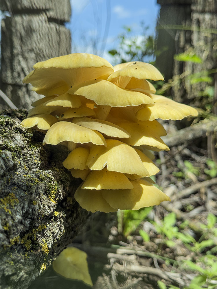
- Golden oyster mushrooms on tree trunk
-
- Raccoon carcass

-
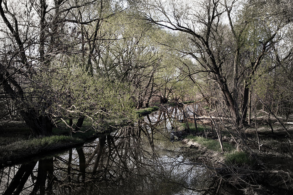
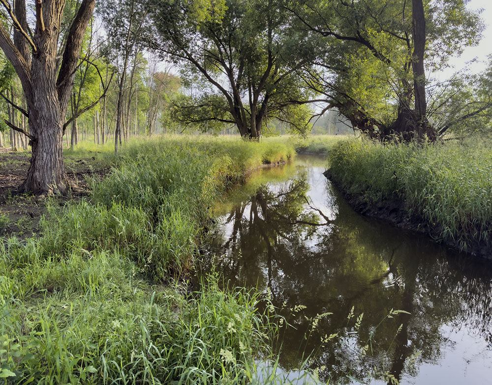
- A tributary
-
- Dawn

-
- Oak Leaf Trail in flood

-
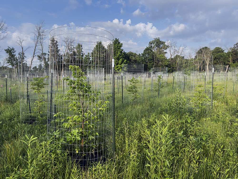
- Tree planting
-
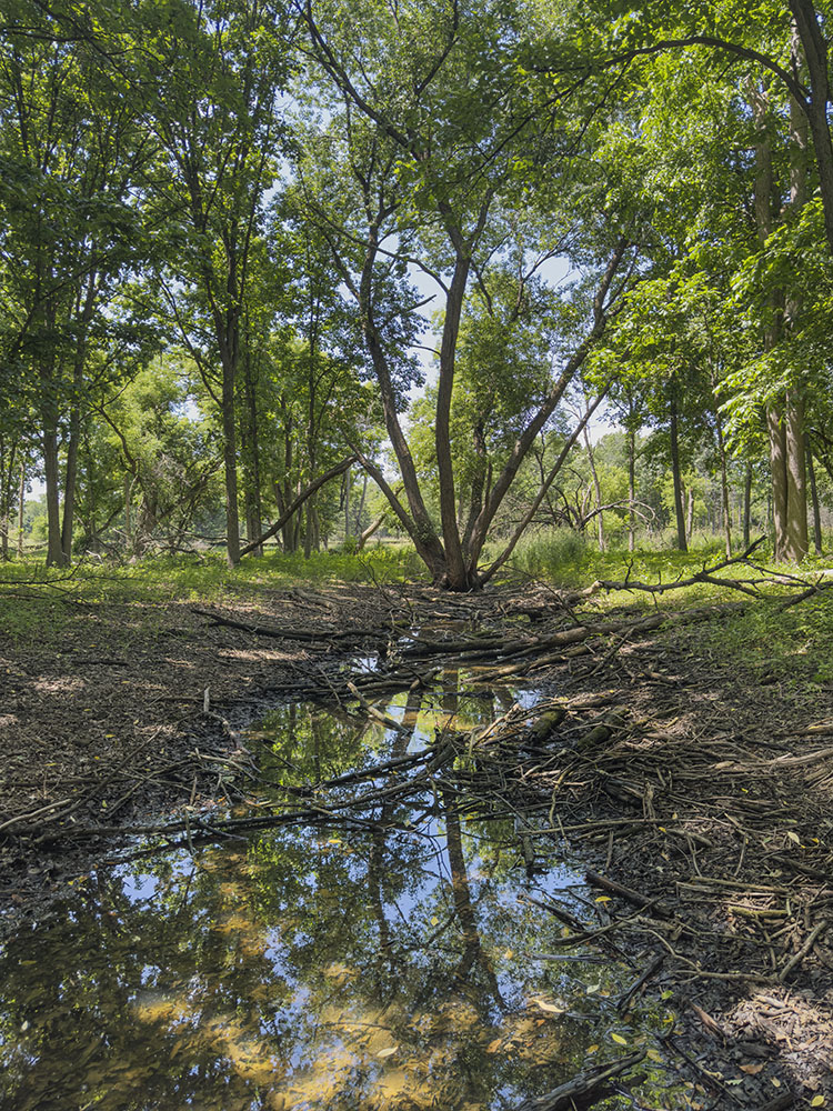
- Slough
-
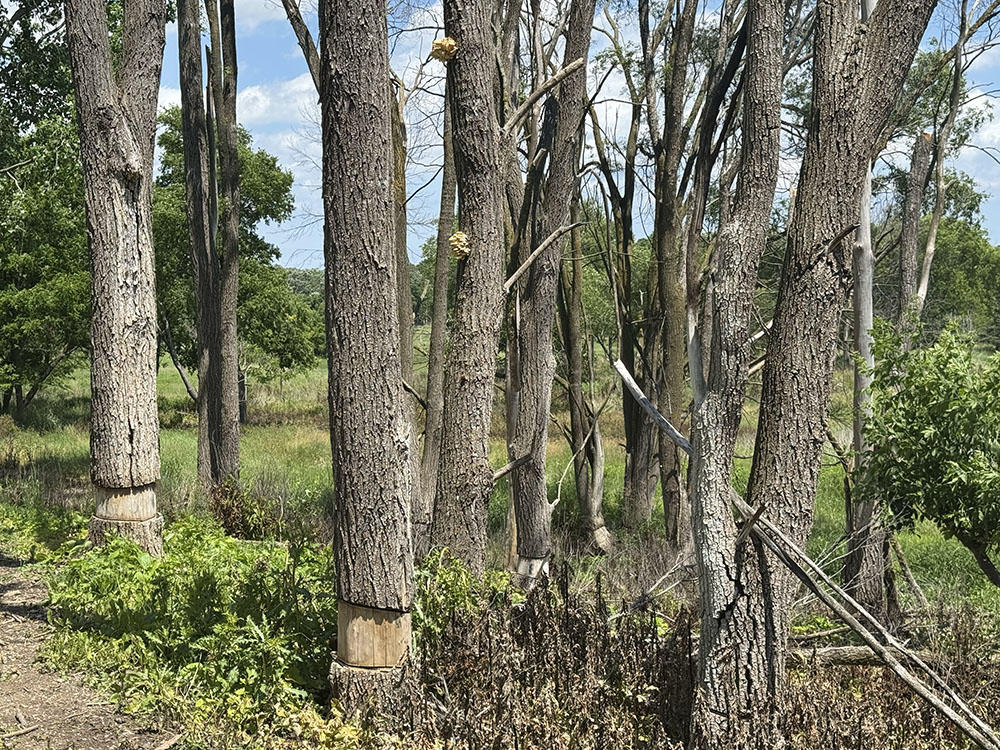
- Tree girdling
-
- Golden oyster mushrooms on log
-
- Idyll
-
- Sunrise on the Oak Leaf Trail
-
- Aerial view of Little Menomonee River
-
- Aerial view of Oak Leaf Trail
Address
9040 Good Hope Rd53224, Milwaukee, AF