

Kinnickinnic River Parkway West in Milwaukee

The entire Kinnickinnic River Parkway follows the KK River itself, which begins east of McCarty Park in West Allis and ends at Milwaukee’s Inner Harbor. The KK Line of the Oak Leaf Trail runs the entire length of it. However, the parkway is divided into three sections by Jackson and Pulaski Parks.
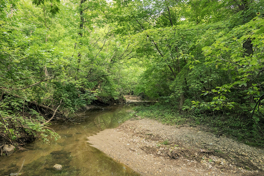
The west section, between 60th and 43rd Streets, has a distinct character that is more wooded and natural that the others. Twin segments of Milwaukee County’s Forked Aster Trail system run on both sides of the river. The Oak Leaf Trail runs along the parkway road on the north side of the greenway. A pedestrian bridge crosses the river in the middle at 51st Street.
A map of the KK River Parkway West is reproduced above.
For a map of the KK River Parkway East of Jackson Park, click here.
There are no amenities.
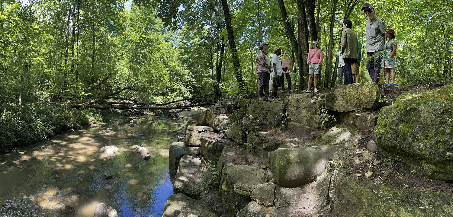
A Walk in the Park panorama
Gallery (click to enlarge)
-

- Hiking the Forked Aster Trail

-

- Footbridge at 51st St

-
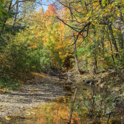
- Autumn Reflection

-

- Flying a radio-controlled helicopter

-

- Woodpecker

-

- Splashes of maple

-
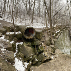
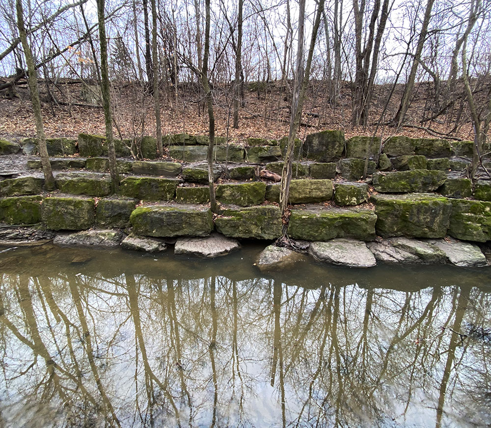
- Engineered Solution

-
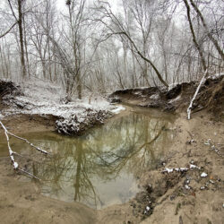
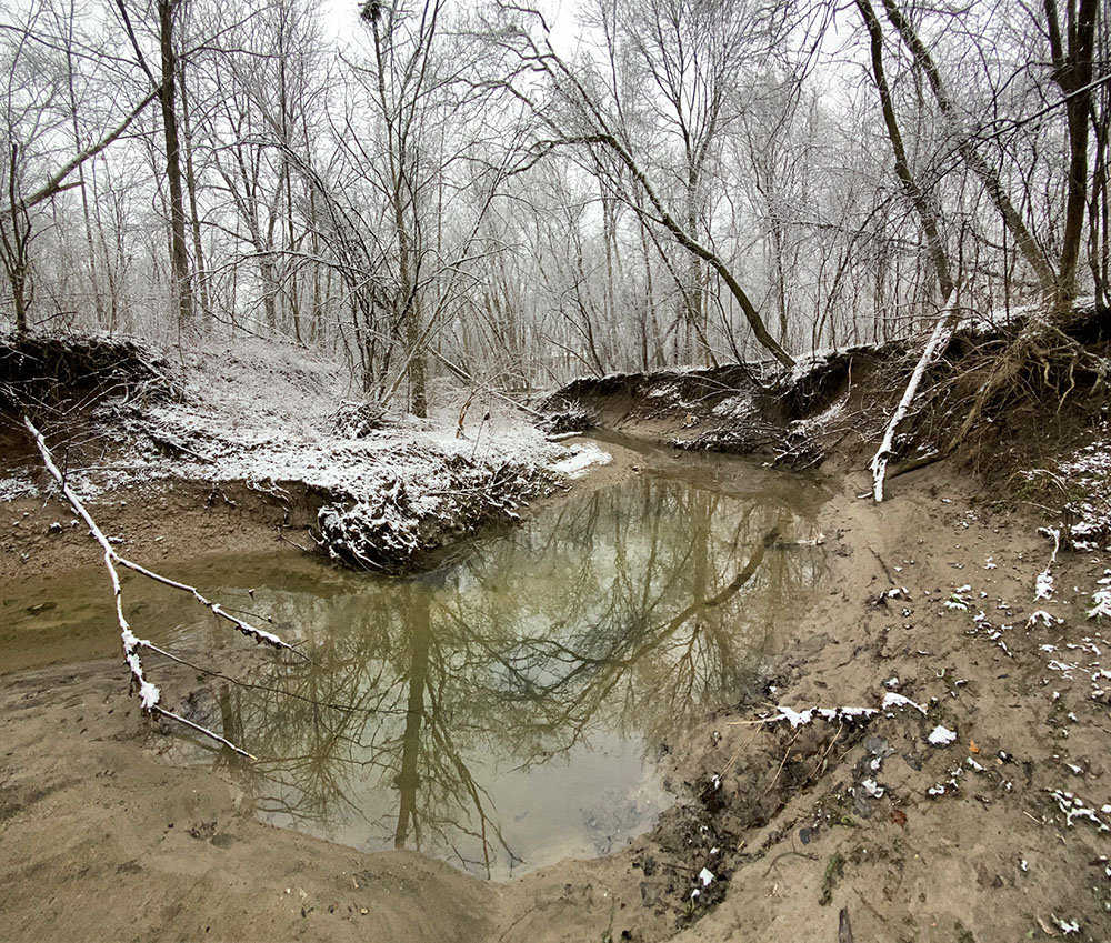
- Eroded river channel
-

- Autumn Radiance

-
- Abstract River
-
- Parkway tree in snow

-
- KK Wilderness
-
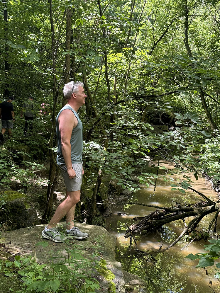
- Overlook
-
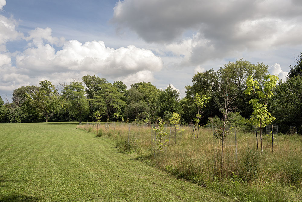
- Newly planted trees
-
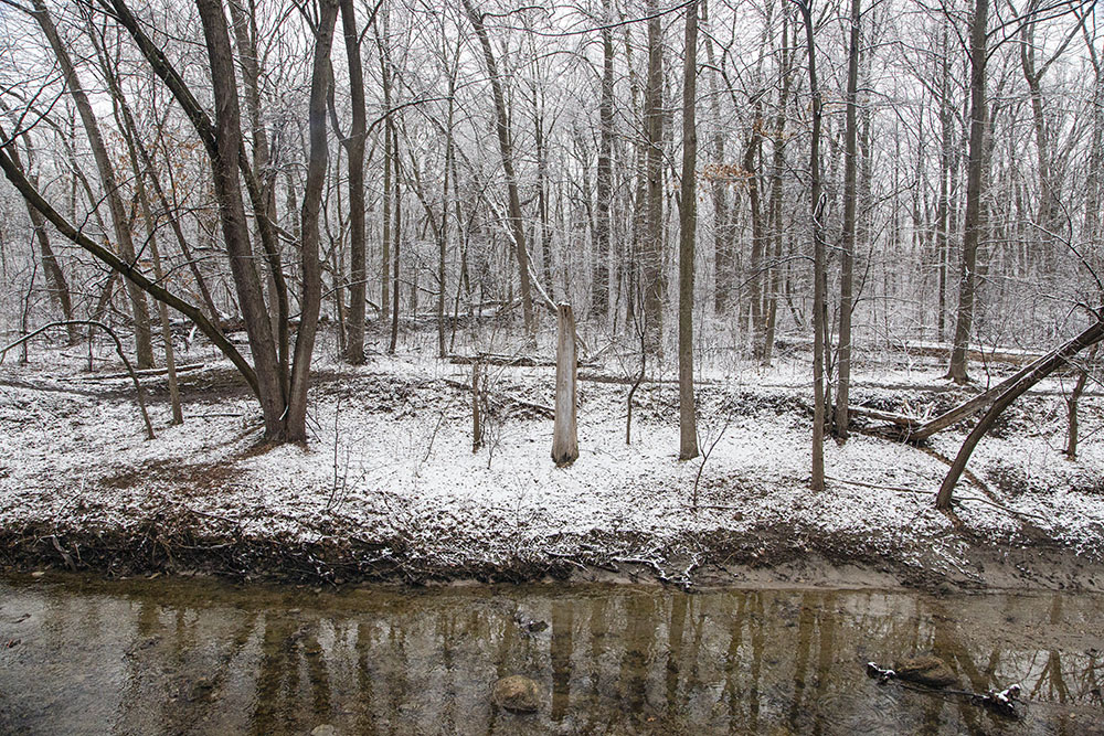
- Riparian Trail
-
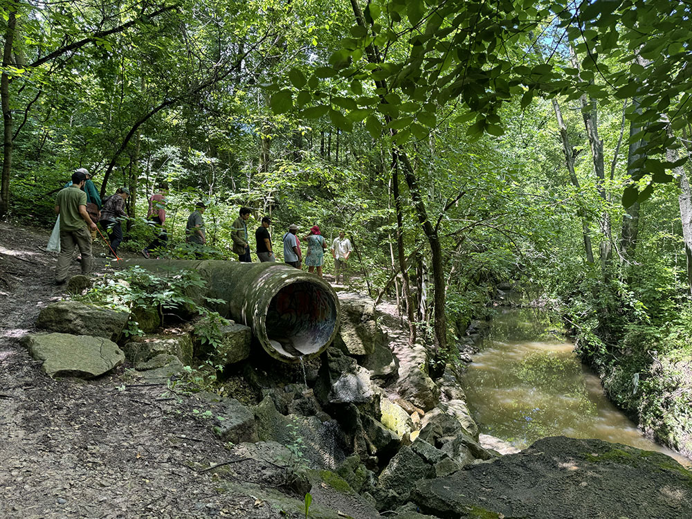
- Stormwater outflow
-

- Tepee Village

-
- Wintry scene

-
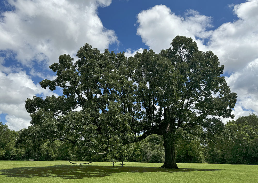
- Oak Asymmetry
Address
5100 W Jackson Park Dr53219, Milwaukee, WI, US