Island of Nature: Exploring a Blank Spot on the Map of Milwaukee
September 27, 2022 | Topics: Places, Spotlight, Stories
By Eddee Daniel
“What avail are forty freedoms without a blank spot on the map?” ~ Aldo Leopold
Part 1: Wyrick Park
I park near the dead end of North 53rd Street, next to a seemingly disused playing field behind Green Tree Preparatory Academy. The chain-link backstop at the corner of the field is missing most of its links; the grass hasn’t been mowed in a long while. Across the street in Wyrick Park I can clearly see the distinctive Forked Aster Trail sign, which is the reason I’ve come.
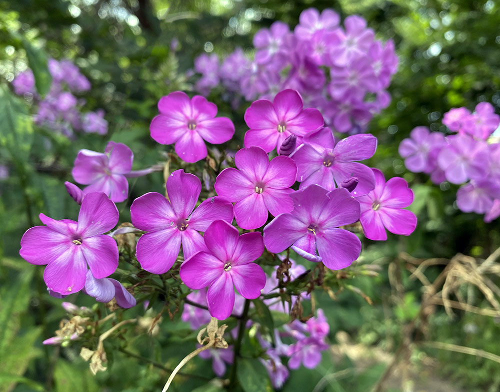
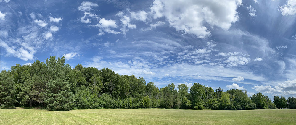
Welcoming me as I enter the woodland are several lovely patches of phlox, a native wildflower. A good omen, I think. I walk up a slight rise, then back down and just like that I’m out of the woods and facing a vast, empty lawn. There has to be more, I think. I reenter the woods and discover where the trail leads up through the middle of this sliver of forest. Once reoriented the newly trimmed trail is easy to follow.
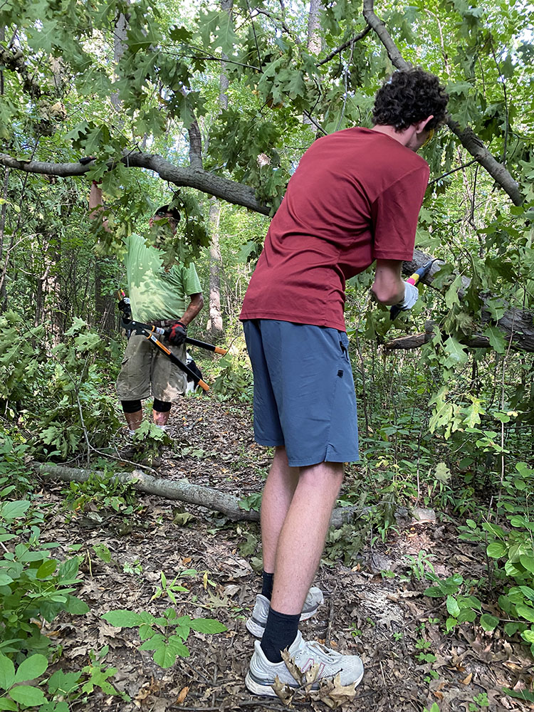
I was alerted to this trail by Jessica Wineberg, Milwaukee County Parks Trails Coordinator, who recently led a team of volunteers that cleared deadfall and brush from the trail. Surprised and a bit chagrined, I had to confess I’d never heard of Wyrick Park! (We have so many parks to choose from, it’s hard to keep up.) At 17.9 acres Wyrick is a neighborhood rather than a regional park, but I do try to explore any park with a natural area. And small though it is, this 6-acre woodlot contains at least 45 species of native plants and 44 species of native wildlife, according to Brian Russart, Milwaukee County Parks Natural Areas Supervisor.
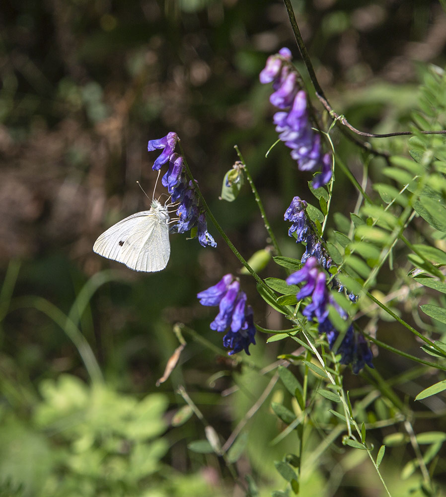
I stroll slowly, seeking some of this wealth of wildlife. A white sulphur butterfly obliges. The basswoods and oaks form a lovely, shady canopy high overhead, but much of the woodland is barricaded by a dense understory of invasive buckthorn. The county, chronically strapped for funding, must use its limited resources where they will have the most impact, such as sites that are more ecologically diverse. Russart says that the Parks are trying to partner with Friends groups to help with smaller parks like this one, but as yet Wyrick has no Friends group.
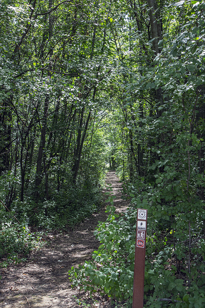
A leisurely ten-minute stroll takes me from one end of the quarter-mile long trail to the other, thinking that this must be one of the shortest segments of the Forked Aster Trail system—and how lucky the neighbors are to have it! Although I encounter no other people in my brief sojourn, the well-packed dirt trail indicates regular use. I heartily agree with Wineberg, who calls this a “unique island of publicly-owned, easily accessible nature in a sea of developed city.” She also shared a map showing that the “island” is larger than Wyrick Park. My adventure is just beginning.
Part 2: An Unnamed Woodland
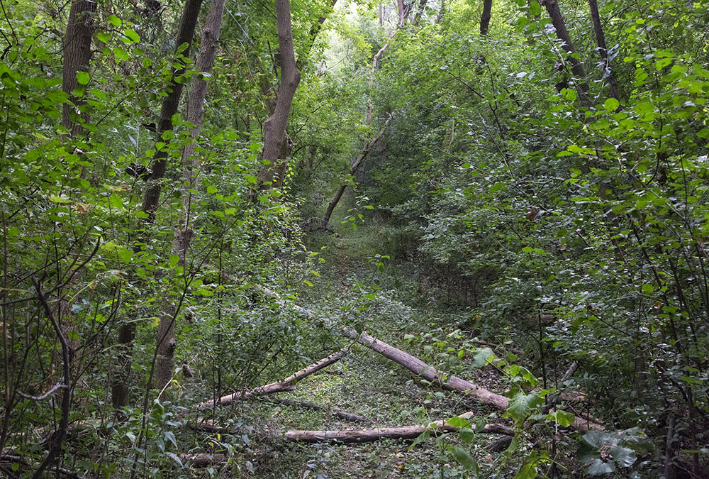
According to the map, a mysterious woodland larger than the one in the park waits at the “dead” end of 53rd Street, which may be dead to vehicles but is decidedly alive to explorers. Partially obstructed by a tree fallen into the cul-de-sac, I find an unmarked, but unmistakable path. Bright sun gives way to deep shade as I enter. The earth is soft but not quite muddy. The trail is wide but unkempt, fouled with trash. I step over the occasional log, push aside protruding branches and bristling burdock taller than I am.
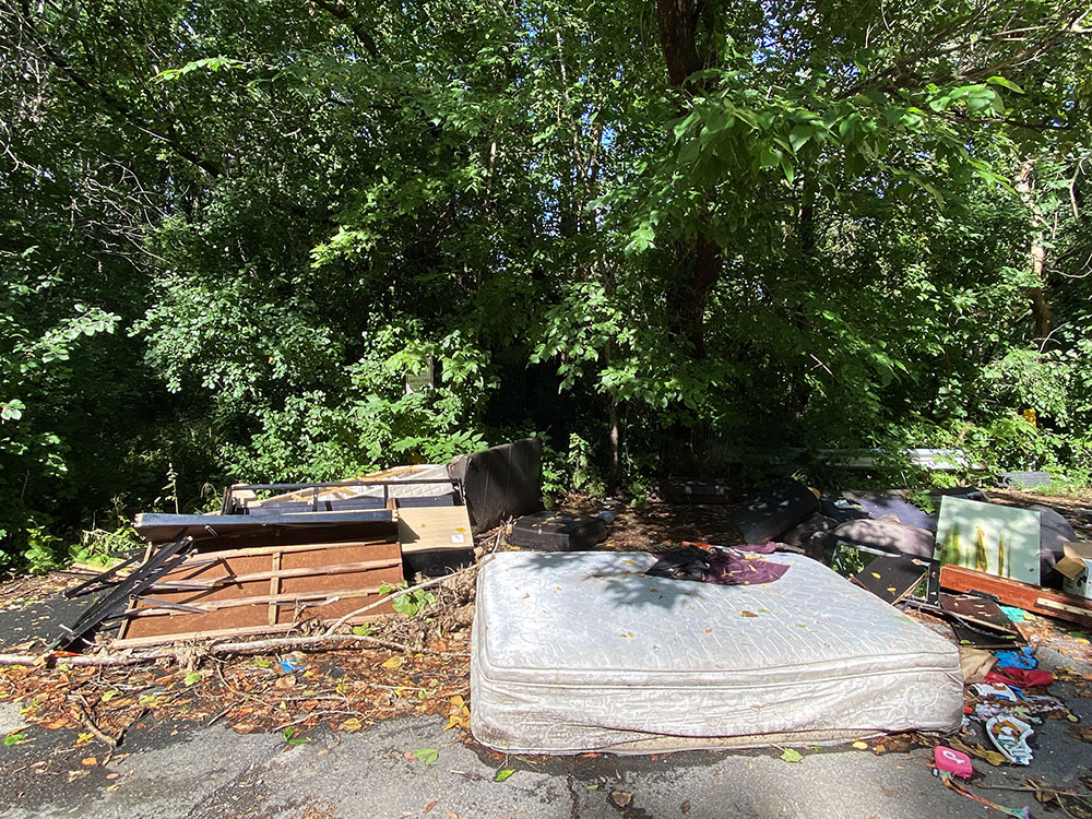
At first, the trail leads straight back to another cul-de-sac, this one at the end of a residential street. Upon emerging from the woods, I am greeted by a king-size mattress, bed frame and assorted other junk splayed out across the asphalt. Hidden in the shrubbery behind this renegade dump I find a sign that reads “landfill closed.”
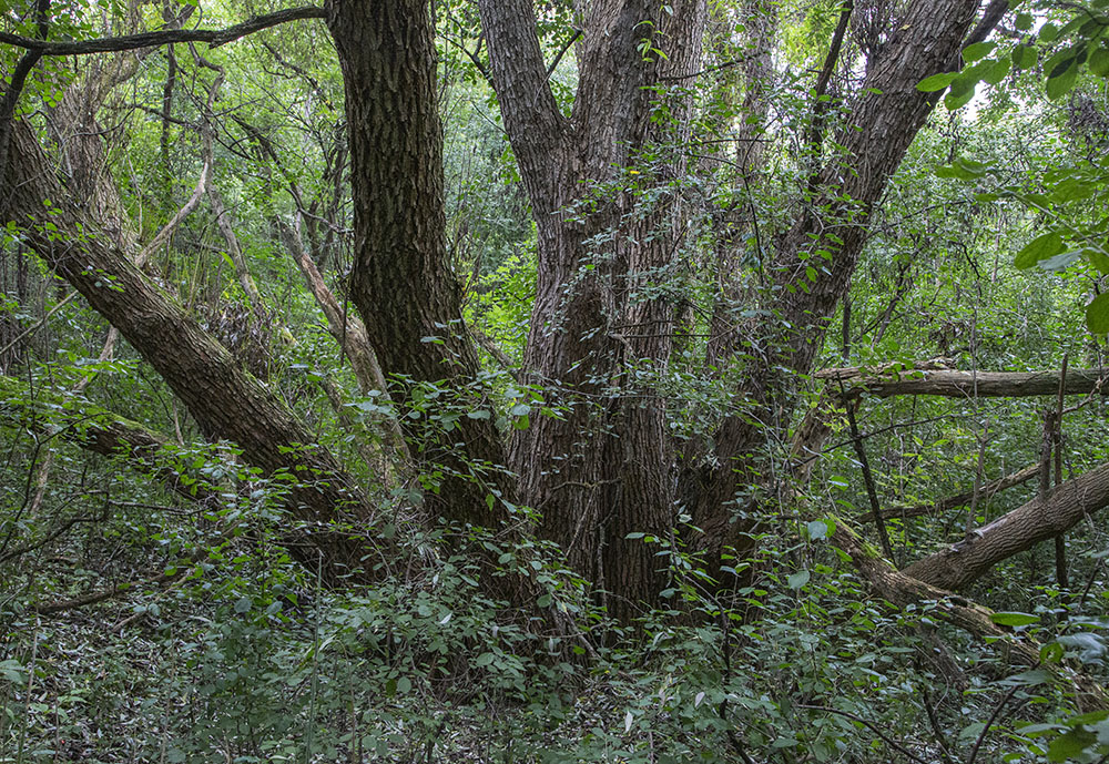
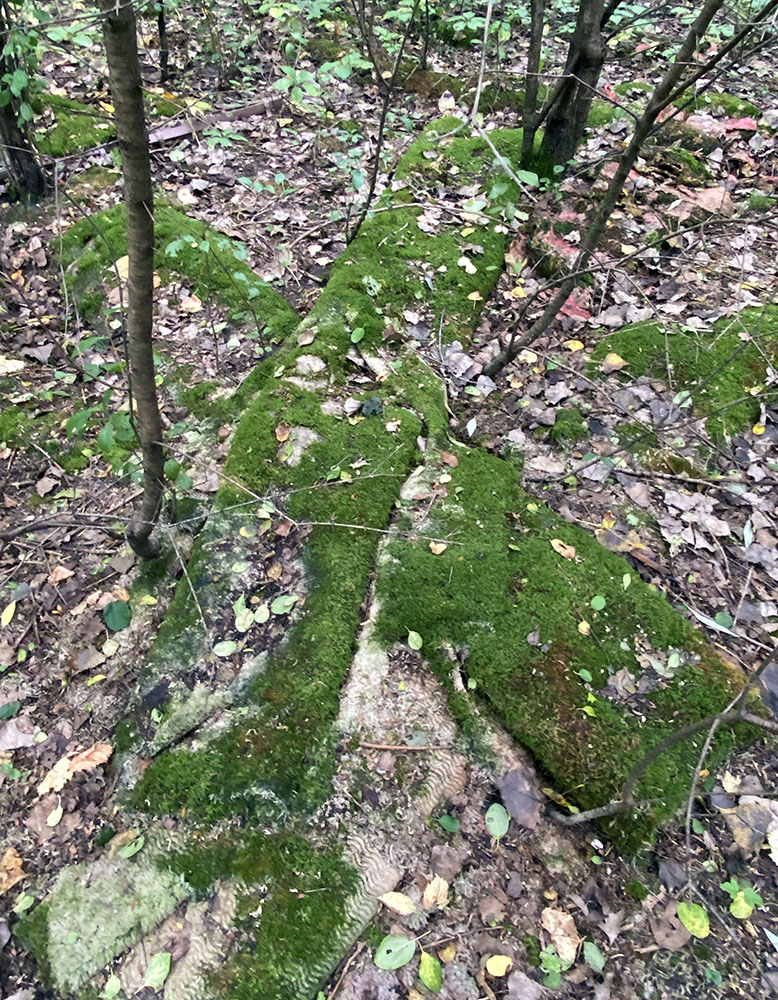
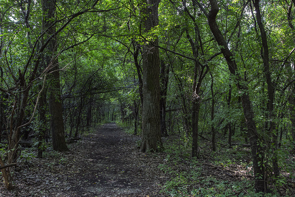
I retreat into the cool comfort of the woods, continuing along the trail that now leads east towards Lincoln Creek, my new destination. The plague of buckthorn is even more aggressive here, crowding and overarching the trail at several points. Then the trail turns south again, back towards the school. Surprisingly wide and open underneath the sheltering canopy, it seems like a tunnel leading into some dismal underworld. But a minute later it pops back out into the glare of sunshine in the open field behind the school.
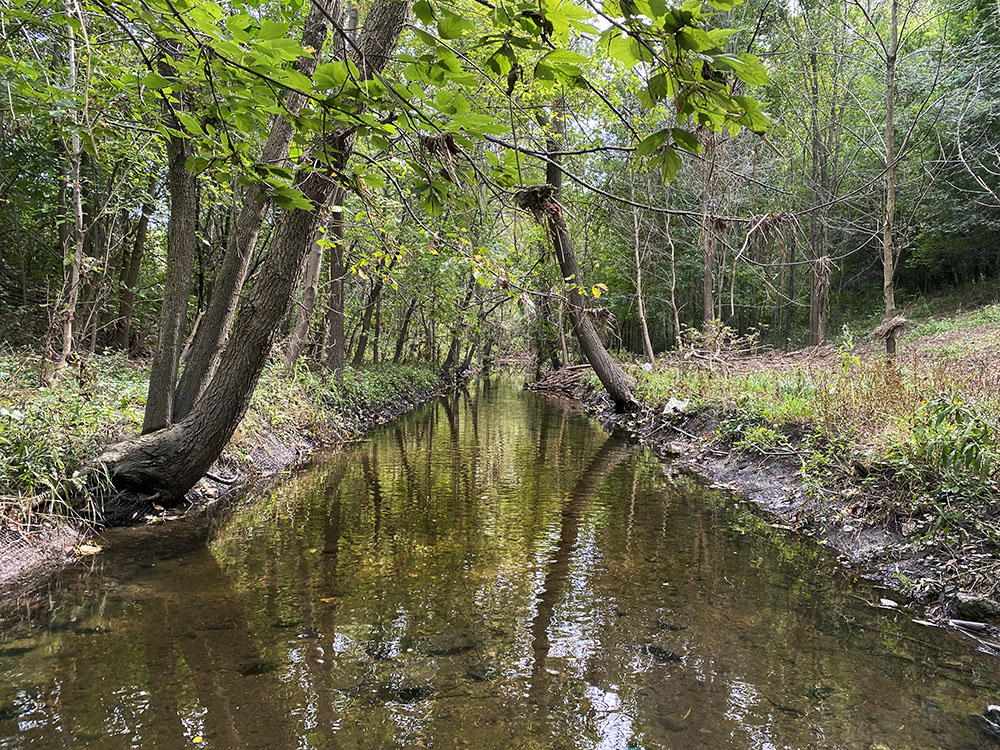
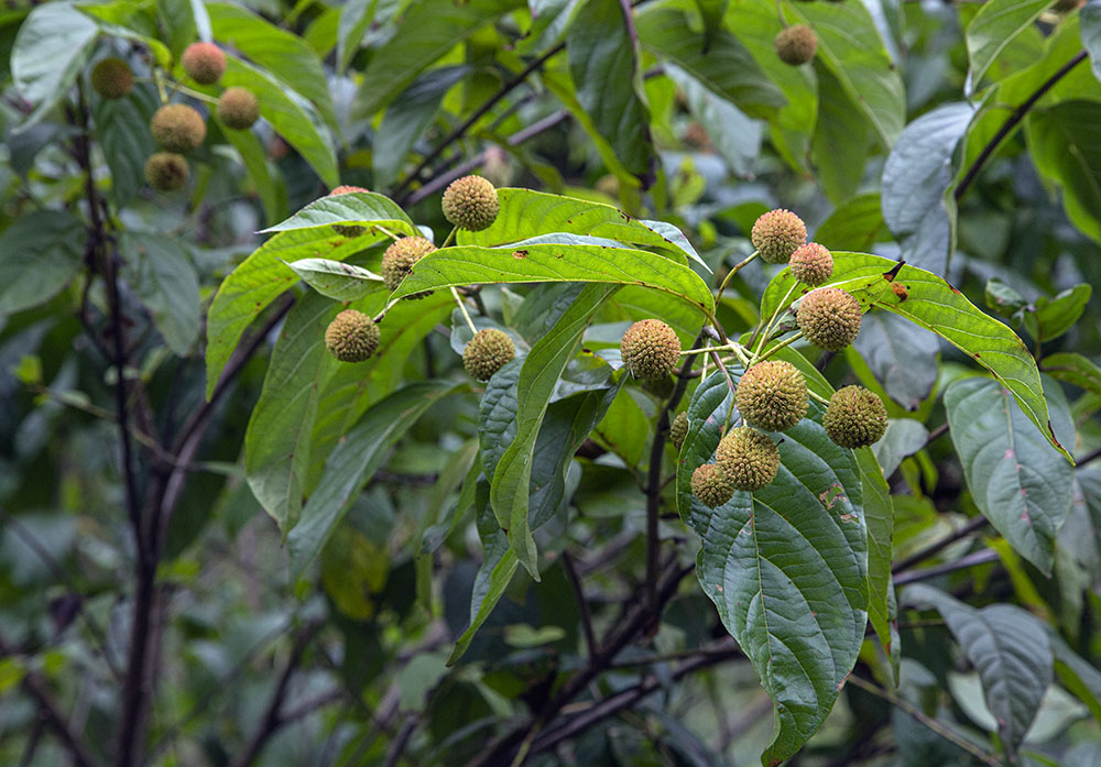
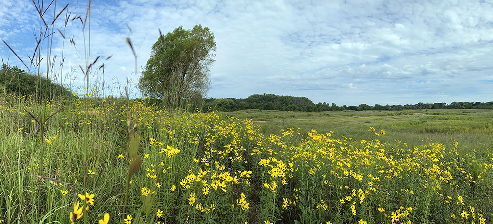
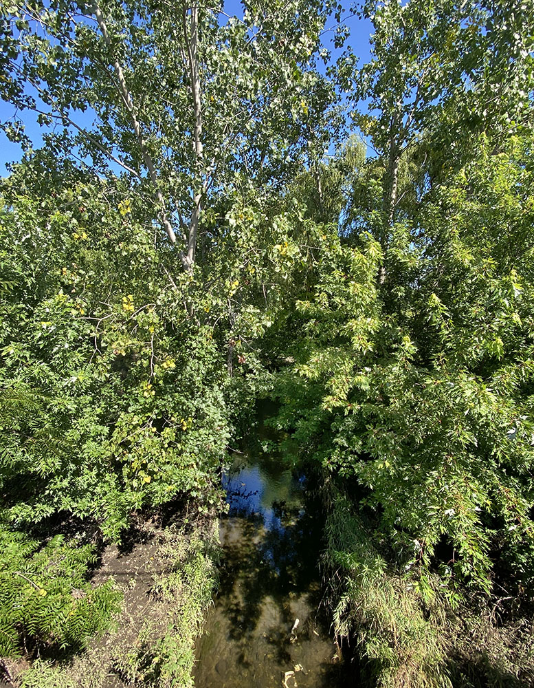
Finding the creek, which I hope to cross, proves to be more of a challenge. No trails lead down to it. Bushwhacking my way through tall stands of bright yellow sunflowers and coreopsis, I eventually find it flowing languidly through the sandbar willows along its verge. Frogs leap from the bank at my approach. Then I hear a much louder splash. Swimming away under the surface, when I reach the edge, is a large muskrat. The creek is wider and deeper than anticipated and I can see no way across to the place on the other side that I most want to explore—amazingly a “blank spot on the map” larger than Wyrick Park. Following the southward flow of the creek leads me to Green Tree Road where I cross, pausing to gaze down at the water gurgling under the bridge.
Part 3: Green Tree Basin
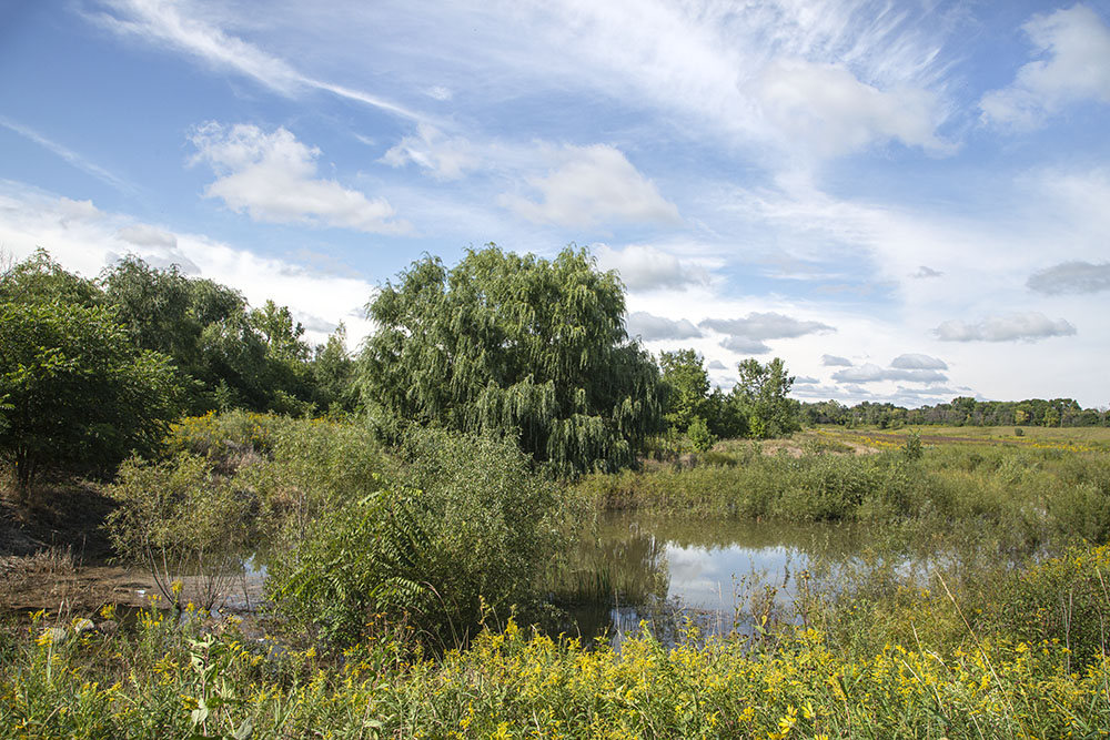
Then, finally, I turn to gaze out at acres and acres of open land; what appears from the road to be a vast sunken meadow, an enchanting sea of green stippled with millions of yellow flowers. I can find no identifying signage or trailhead. But neither is there a “private property” or “no trespassing sign”. The explorer in me is primed. There is no obvious trail, but narrow twin tracks of crushed grass—likely from an ATV—lead me along the top of a berm paralleling the creek.
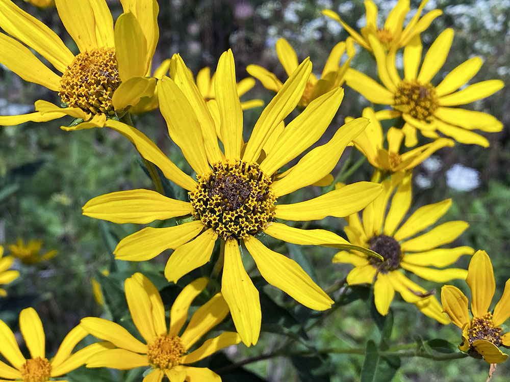
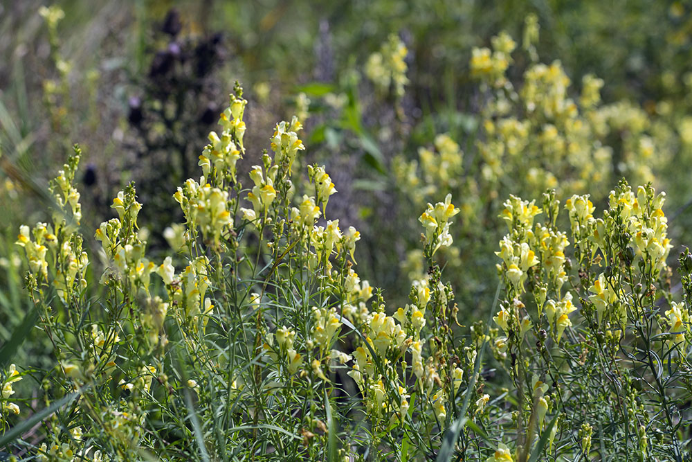
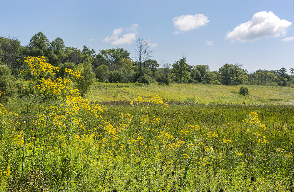
Walking in sunshine and sunflowers is bound to raise your spirits! There is a great abundance of both here. The sunflowers are accompanied by many other wildflowers, some tall and some quite low to the ground, including a species new to me: common toadflax. My walk is framed on the left by a tree line along the creek. On my right, though, there is no frame, no boundaries. The berm sweeps down, the landscape grows broader with every step, the sky more immense, the sense of boundless space more palpable. Here, surrounded by the city! And I have it all to myself!
Before long I reach a gap in the berm, walk down to the bottom of the slope. The ground here is reinforced with chain-link armor. I decide to take a short cut to the other side and begin bushwhacking—or grass-whacking—across the wide meadow. I am stymied, though, when my shoes begin to sink. Turns out the meadow is better described as a wetland and I don’t have the right footwear to wade into that. I am not surprised, however. Containing water is the whole point of this place, which isn’t natural at all, despite its resemblance to nature.
This blank spot on the (Google) map is far from a wilderness; it is a carefully engineered landscape: a flood detention basin. The berm I’ve been walking on extends all the way around in order to contain storm water; the gap where I descended is how the water flows in from Lincoln Creek. This will happen only rarely, according to Tom Chapman, project manager at MMSD, when there is at least 4-5 inches of rainfall.
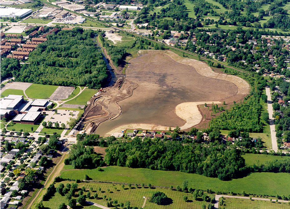
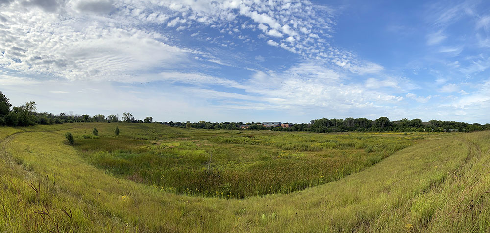
The Green Tree Basin, to use its official name, was built as part of a huge, comprehensive, and expensive effort, called the Lincoln Creek Environmental Restoration and Flood Management Project, to mitigate a long history of flooding in the 21-square-mile Lincoln Creek watershed. The folks at MMSD can regale you with terms and data about the basin, such as acre-feet of storage capacity, but what excites me is the experience of being out here, the opportunity it provides to calm everyday anxieties and invigorate my spirit. This was no accident, either. Although secondary to its utilitarian purpose, the basin is also by design a natural habitat. It was planted with native prairie and wetland vegetation and there are ongoing efforts to manage invasive species. When I reach the far end of the basin, a patch of tall phragmites reeds muscling in among the cattails illustrates what an endless job that is.
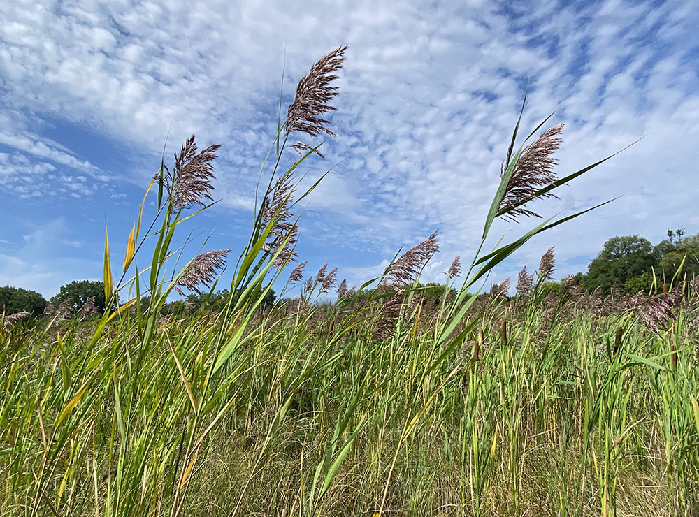
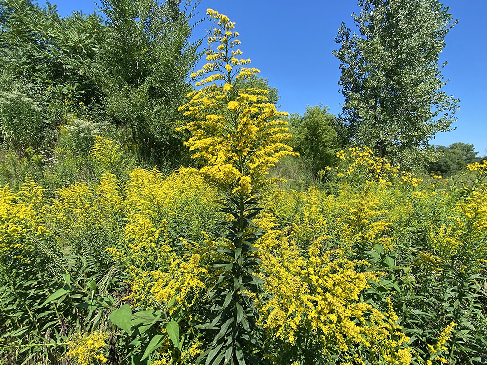
Continuing around the sweeping curve of the berm, I revel in the breathtaking diversity of wildflowers, ceaselessly dancing with the rhythm of gusty breezes. Yellow prevails. Tall cup plants and coreopsis vie for the most extravagant displays, glowing in mid-day sun. Brown-eyed Susans, sunflowers, false sunflowers and huge phalanxes of goldenrods add their own shades of yellow and gold. Here and there blue vervain and white boneset provide counterpoints. Fidgeting about in and amongst all of this an uncountable plethora of bees, butterflies and other insects are going about the business of pollinating, making their irreplaceable contribution to the continuation of this bounty. And above it all are hundreds, surely, of dragonflies zipping back and forth, presumably snatching up some of those insects.
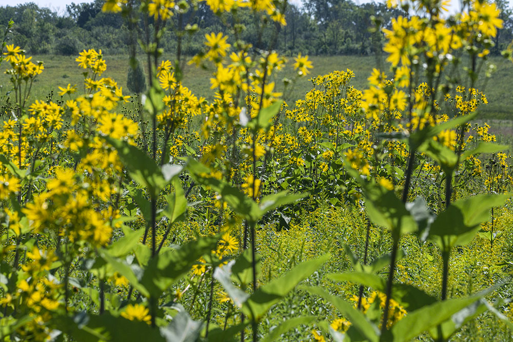
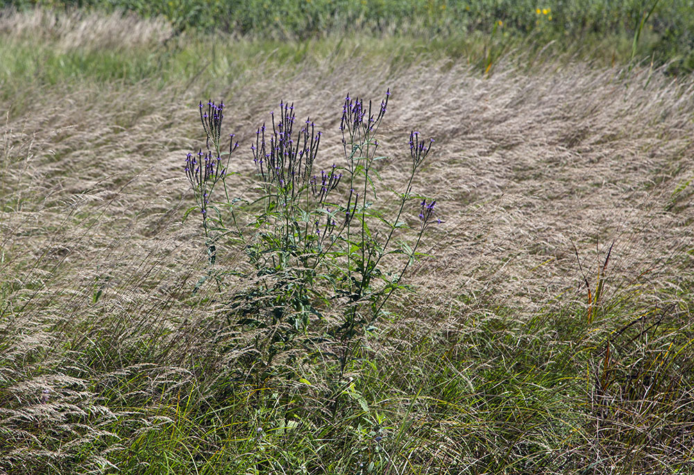
When Aldo Leopold extoled the virtues of having a “blank spot on the map” he definitely did not have in mind a detention basin surrounded by a densely populated urban area. And yet, I have no doubt he’d approve of my appropriation of his idea, for he is also known to have said, “The weeds in a city lot convey the same lesson as the redwoods….” And this place is so much more than a city lot! It is also more than a metaphor. It really is a blank spot: you won’t find it labeled on Google maps. Why, you might ask, is such a lovely spot kept in reclusive isolation? The answer reverts to its utilitarian purpose. MMSD—the Milwaukee Metropolitan Sewerage District—which is responsible for it, is not a parks agency. While they don’t discourage explorations like mine, they do not have the resources to maintain it as a park.
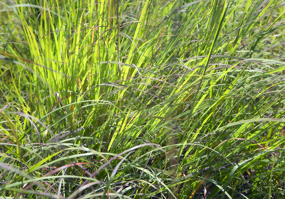
So, don’t come expecting an easy stroll in the park! When I am just short of completing a circuit of the entire basin, I reach a dead end. Not being an official trail, there is no loop. I’ve bumped up against a row of private residences along Green Tree Road. No matter. I simply turn around, retrace the tenuous track through tall grass, and enjoy the thrill of it all over again, reflecting on the varied terrains I’ve had the pleasure and privilege to explore. If Wyrick Park is an island, then I have been traversing an unlikely and unexpected archipelago of nature here on the north side of Milwaukee. I’ll leave it to Leopold to have the last word: “To those devoid of imagination a blank place on the map is a useless waste; to others, the most valuable part.”
Epilogue
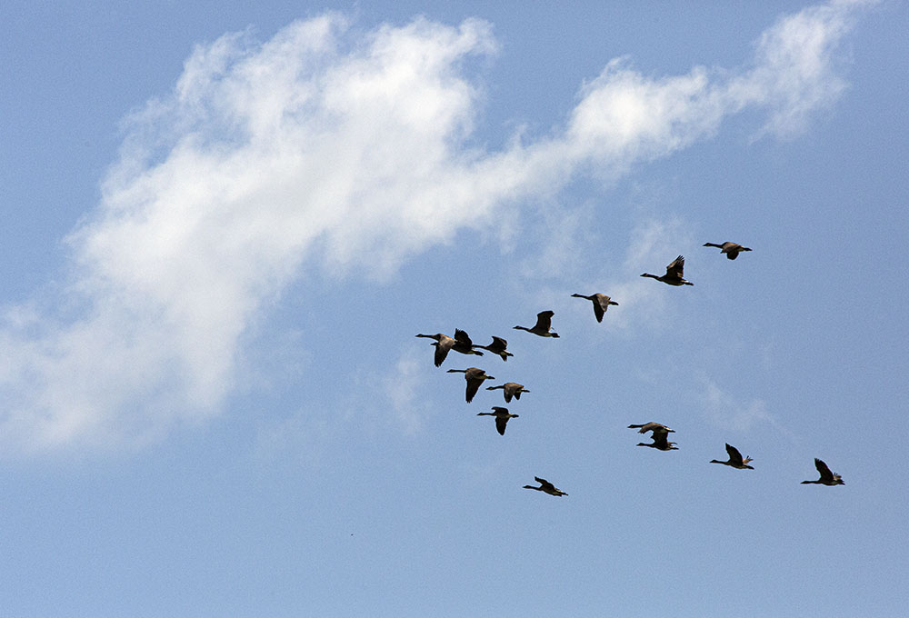
Coincidentally, not long after my initial foray, recounted in this story, Southeastern Wisconsin was pounded with a record-breaking storm. Milwaukee got somewhere between six and seven inches of rain in twenty-four hours. I returned to Green Tree Basin to find a lake and the proof of its utility. As I gazed again at the wondrous panorama, a wedge of geese spiraled down to splash across its surface.
Eddee Daniel is a board member of Preserve Our Parks and Project Director of A Wealth of Nature. Milwaukee County Parks and Milwaukee Metropolitan Sewerage District are both project partners of A Wealth of Nature.

